← All routes
Trek Golan Heights — Yehudiya Forest, Israel

Nahal Yehudiya — The Canyon, the Ladder and the Swim

A hard water route down a basalt canyon in the central Golan: an iron ladder bolted to the cliff drops you into a pool you can only cross by swimming, then the trail runs on past the falls and the hexagonal columns.

Nahal Yehudiya — The Canyon, the Ladder and the Swim
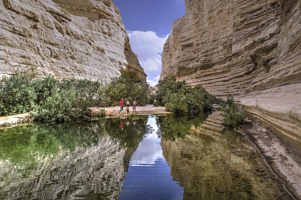
Photo: Hanay · CC BY-SA 3.0
Duration
1 days
Distance
5 km
Ascent
200 m
Difficulty
Hard
Best season
May–October, when the water is warm enough to swim and the winter flow has dropped; the canyon is closed or dangerous during and after winter storms

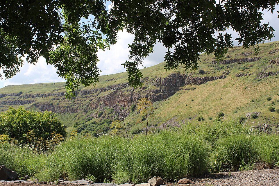
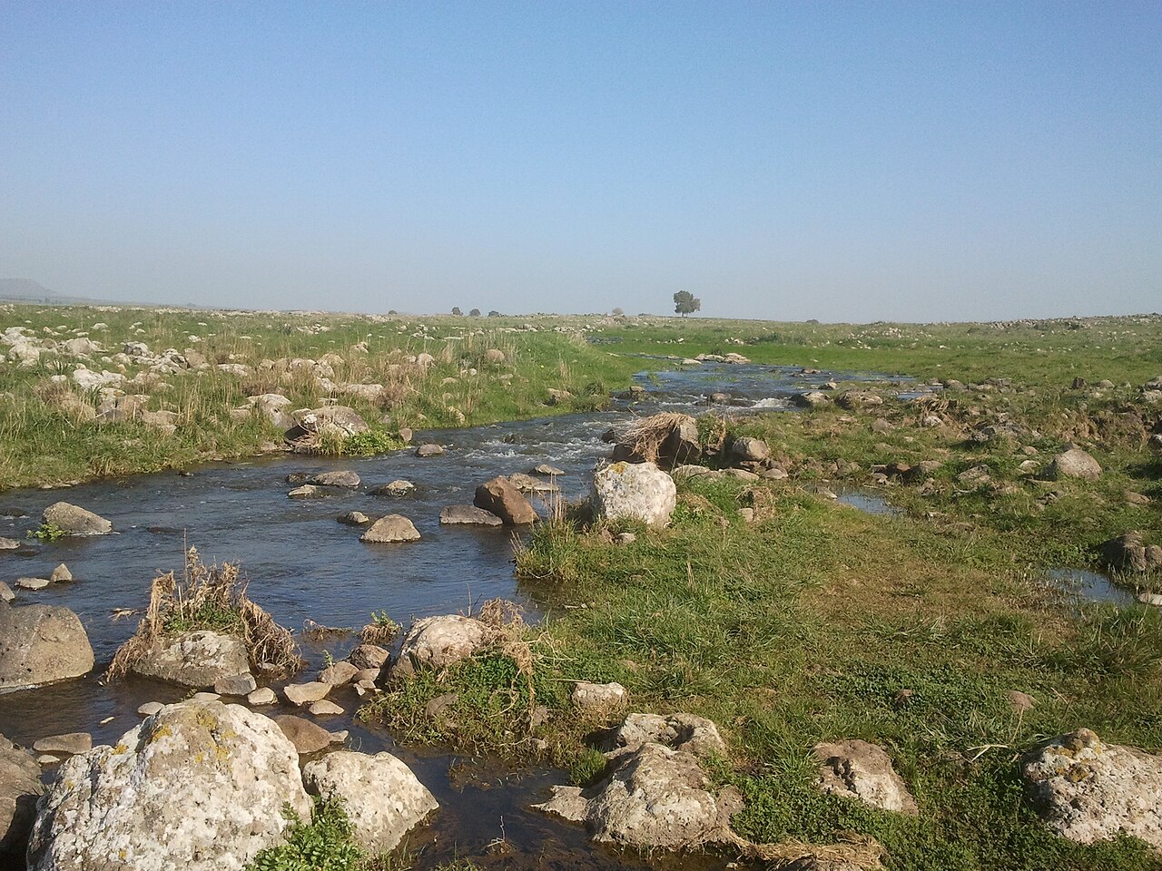
The Yehudiya Stream is one of five streams that cut the basalt plateau of the central Golan inside the Yehudiya Forest Nature Reserve — at about 134 square kilometres, the largest reserve in the Golan. From open Mount Tabor oak savanna the path drops abruptly into a black-walled gorge where water runs between oleander and fig, and the plateau’s cooling lava has frozen into ranks of polygonal columns.

This is not a walk. It is a swim with a walk attached, and the reserve treats it that way.

This route requires swimming. At the upper waterfall an iron ladder of about nine metres is bolted to the canyon wall. It ends in a deep pool, and there is no dry route past it — the only way onward is to swim across, with your pack. Everything you carry gets wet or goes in a sealed dry bag. The reserve permits the route only for people who can swim and sets a minimum age of about 10.

The reserve enforces entry cutoff times. Last entry is roughly 2.5 hours before closing — about 14:30 in summer time, about 13:30 in winter time, and an hour earlier on Fridays. The hike must be finished before dark, and rangers turn people away at the gate. Arrive early; there is no negotiating this at 15:00.

People have drowned here. Hikers have died in the pools of the Golan streams — from drowning, and from jumping into water whose depth they had not checked. You may swim in the pools. You must not jump into them. Rockfall from the canyon walls has closed sections of the route in recent years and pushed the marked path upstream, so check the current routing with the Israel Nature and Parks Authority before you drive up.

Getting there. The trailhead is off Route 87 in the central Golan, south of Katzrin. The route is linear; leave a second car or arrange a shuttle.

Good to know:

Day 1

Down the Yehudiya canyon

Route 87 trailhead, Yehudiya Forest Nature Reserve → Lower reserve exit 5 km ↑ 200 m
Navigate this day

From the savanna of the plateau the trail drops into the canyon, follows the running water past the upper waterfall and its pool, on to the lower falls, and out past the basalt columns and the ruins of the village that named the stream.

Segments

  1. The descent into the canyon 1 km ↑ 20 m 📍 Map

    Route 87 trailhead → Canyon floor

    Steep rocky descent, basalt boulders

    Leave the open oak savanna of the plateau and drop hard down a boulder path into the gorge. The temperature falls with you; the walls close in black and sheer, and the first running water appears. About 45 minutes.

  2. The upper waterfall, the ladder and the swim 1 km ↑ 20 m 📍 Map

    Canyon floor → Far side of the upper pool

    Iron ladder on the cliff, deep water

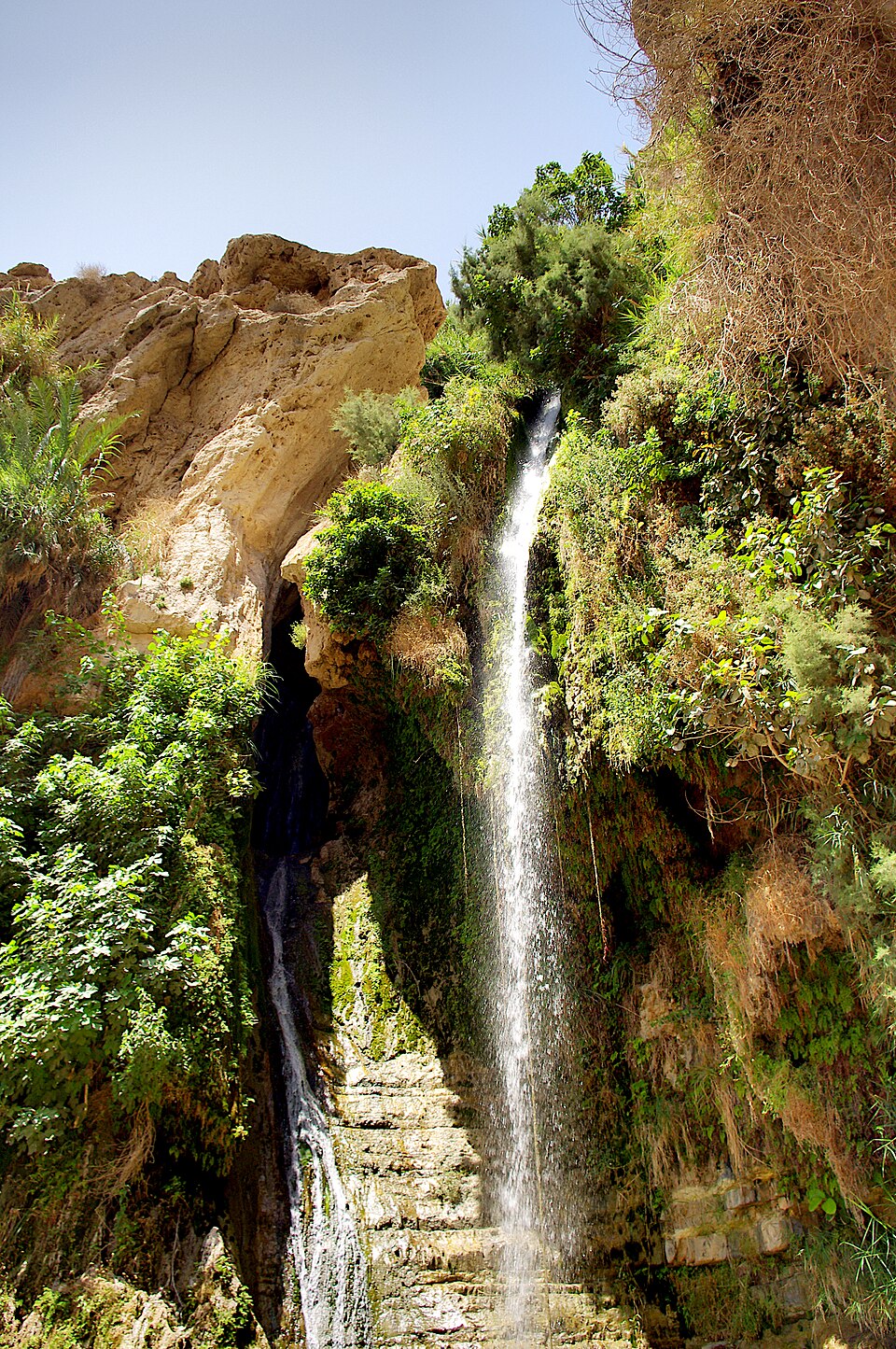
    The crux. An iron ladder of about nine metres is bolted to the canyon wall and drops you to the water beside the upper falls. There is no dry route past this pool — you swim across it with your pack, or you turn around. Non-swimmers must not start this route.

  3. The Yehudiya waterfall and its pool 1 km ↑ 20 m 📍 Map

    Upper pool → Yehudiya waterfall pool

    Streambed, wet rock, deep pool

    The main Yehudiya waterfall drops about 20 metres into a broad natural pool ringed with oleander, willow and fig — the set-piece of the route. Swimming is allowed. Jumping is not: people have been badly hurt and killed entering these pools blind. About 1 hour with a stop.

  4. The lower falls 1 km ↑ 60 m 📍 Map

    Yehudiya waterfall pool → Lower falls

    Streambed scrambling, wet basalt

    The canyon narrows again and the stream steps down through a series of lower falls and pools. Scrambling over slick basalt, more wading, more swimming depending on the flow. Slower than the map suggests. About 1 hour.

  5. The basalt columns and the climb out
    The basalt columns and the climb out 1 km ↑ 80 m 📍 Map

    Lower falls → Lower reserve exit

    Columnar basalt, climbing path

    The walls here show the Golan's signature columnar jointing — ranks of polygonal pillars formed as the lava cooled and contracted, the same structure that makes the reserve's famous Hexagon Pool on the Meshushim. Above stand the remains of Yehudiya, the abandoned village that gave the stream its name. Then the climb out. About 1 hour.
    About this place

    Columnar jointing is a geological structure where sets of intersecting closely spaced fractures, referred to as joints, result in the formation of a regular array of polygonal prisms, or columns. Columnar jointing occurs in many types of igneous rocks, and forms as the rock cools and contracts. Columnar jointing can occur in cooling lava flows and ashflow tuffs (ignimbrites), as well as in some shallow intrusions. Columnar jointing also occurs rarely in sedimentary rocks, due to a combination of dissolution and reprecipitation of interstitial minerals by hot, hydrothermal fluids and the expansion and contraction of the rock unit, both resulting from the presence of a nearby magmatic intrusion.

    Read more on Wikipedia ↗

    Photo: Man vyi · Public domain

Comments