
Short in distance, steep at the end. The route starts on the ridge above the wilderness, drops into the chalk gorge, and finishes climbing out of it.
Segments
-
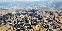 The view from the tomb
Midreshet Ben-Gurion → Ein Avdat lower entrance
Paved path along the ridge, then a road descent
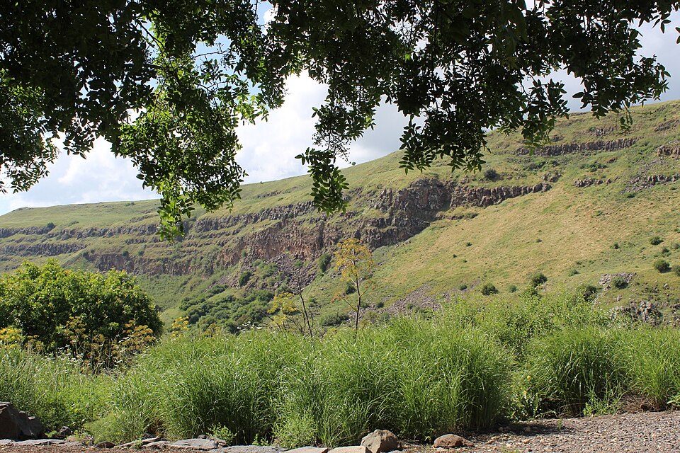
Start where David and Paula Ben-Gurion are buried, on a ridge with the whole Wilderness of Zin dropping away beneath the terrace. He chose the Negev deliberately, and standing here it is obvious what he was arguing for. The site is open around the clock and free. From there, drop to the lower gate. About 30 minutes.
About this place
Midreshet Ben-Gurion, also known as Midreshet Sde Boker, is a community settlement and an educational center in southern Israel. Located in the Negev next to kibbutz Sde Boker, it falls under the jurisdiction of Ramat HaNegev Regional Council. In 2024 it had a population of 1,570.
Read more on Wikipedia Photo: Amos Meron · CC BY-SA 3.0 -
 Into the chalk
Ein Avdat lower entrance → Lower pools
Gravel canyon floor
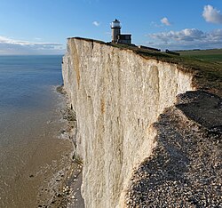
The walls close in and go white. This is soft chalk, eroded into a gorge with strikingly smooth, sculpted sides, and it carries sound the way a stairwell does. Poplars appear along the wet line on the floor — the first sign of the spring ahead. About 40 minutes.
About this place
Chalk is a soft, white, porous, sedimentary carbonate rock. It is a form of limestone composed of the mineral calcite and originally formed under the sea by the accumulation and lithification of hard parts of organisms, mostly microscopic plankton, which had settled to the sea floor. Chalk is common throughout Western Europe, where deposits underlie parts of France, and steep cliffs are often seen where they meet the sea in places such as the Dover cliffs on the Kent coast of the English Channel.
Read more on Wikipedia Photo: kallerna · CC BY-SA 4.0 -
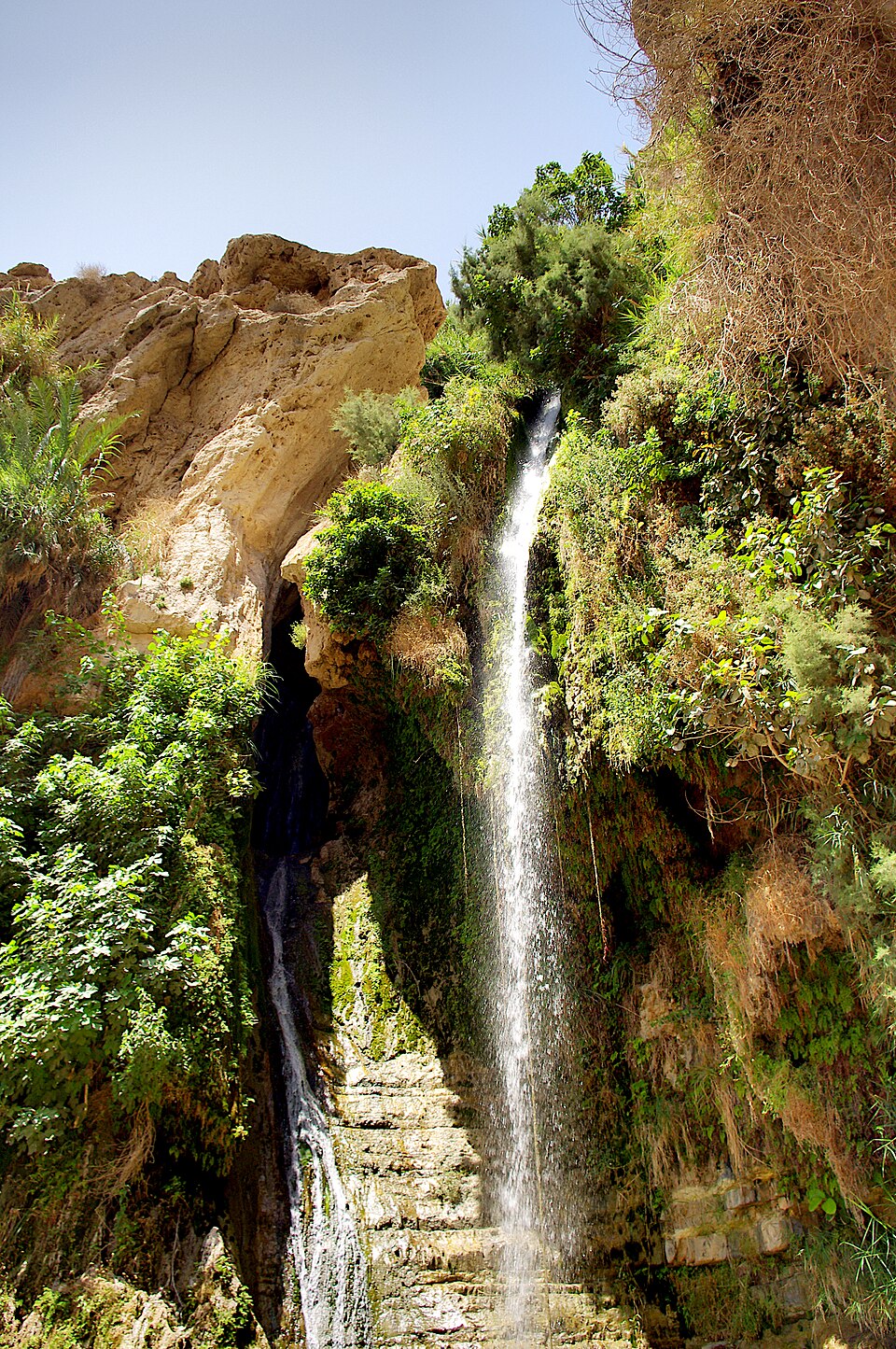
 The waterfall and the pools
Lower pools → Main waterfall
Rock steps beside the water
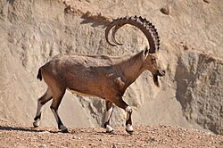
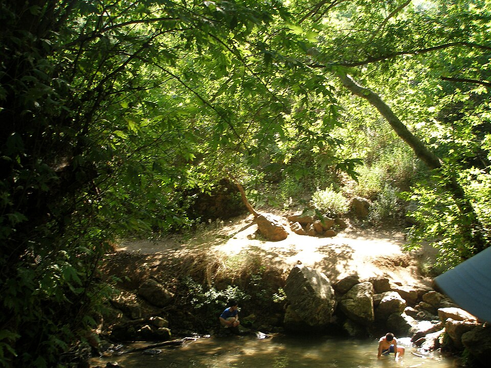
The centrepiece: a fall of about 15 m into a pool roughly 8 m deep, divided by a small artificial dam, with the spring feeding it year-round. Look up and along the ledges for Nubian ibex, which are common here and largely indifferent to hikers. Swimming is prohibited and enforced. Around 30 minutes with stops.
About this place
The Nubian ibex is a desert-dwelling species of goat found in mountainous areas of northern and northeast Africa, and the Middle East. Historically considered a subspecies of the Alpine ibex, it is now recognized as a distinct species. The wild population is estimated at 4,500 mature individuals, and it is classified as vulnerable by the International Union for Conservation of Nature.
Read more on Wikipedia Photo: netzach farbiash · CC BY 2.5 - Monks' caves and the ladders
Main waterfall → Canyon rim
Cut steps, metal ladders and rungs, exposed
The steep finish. Byzantine monks cut cells into these walls and furnished them from the rock itself — shelves, benches, stairs and water systems, still legible. Above them the route becomes a via-ferrata-style climb of fixed ladders and rungs out of the gorge. Straightforward for anyone comfortable on a ladder, but it is one-way, with no turning back once you commit. About 40 minutes.
-
 The rim above Zin
Canyon rim → Ein Avdat upper entrance
Flat, exposed desert plateau
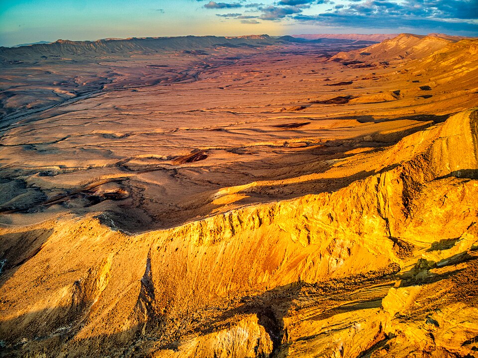
Out on top, in full sun, with the gorge you just climbed now a thin white slot in the ground and Nahal Zin running off to the horizon. The Nabataean city of Avdat sits a short drive south, and a combined ticket makes the pairing worth it. About 15 minutes to the gate.
About this place
The Wilderness of Zin or the Desert of Zin is a geographic term with two meanings, one biblical and one modern Israeli, which are not necessarily identical.
Read more on Wikipedia Photo: 12 tribus de Israel.svg: Translated by Kordas 12 staemme israels heb.svg: by user:יוסי 12 staemme israels.png: by user:Janz derivative work Richardprins (talk) · CC BY-SA 3.0
Comments
Sign in to join the conversation.
No comments yet — be the first.