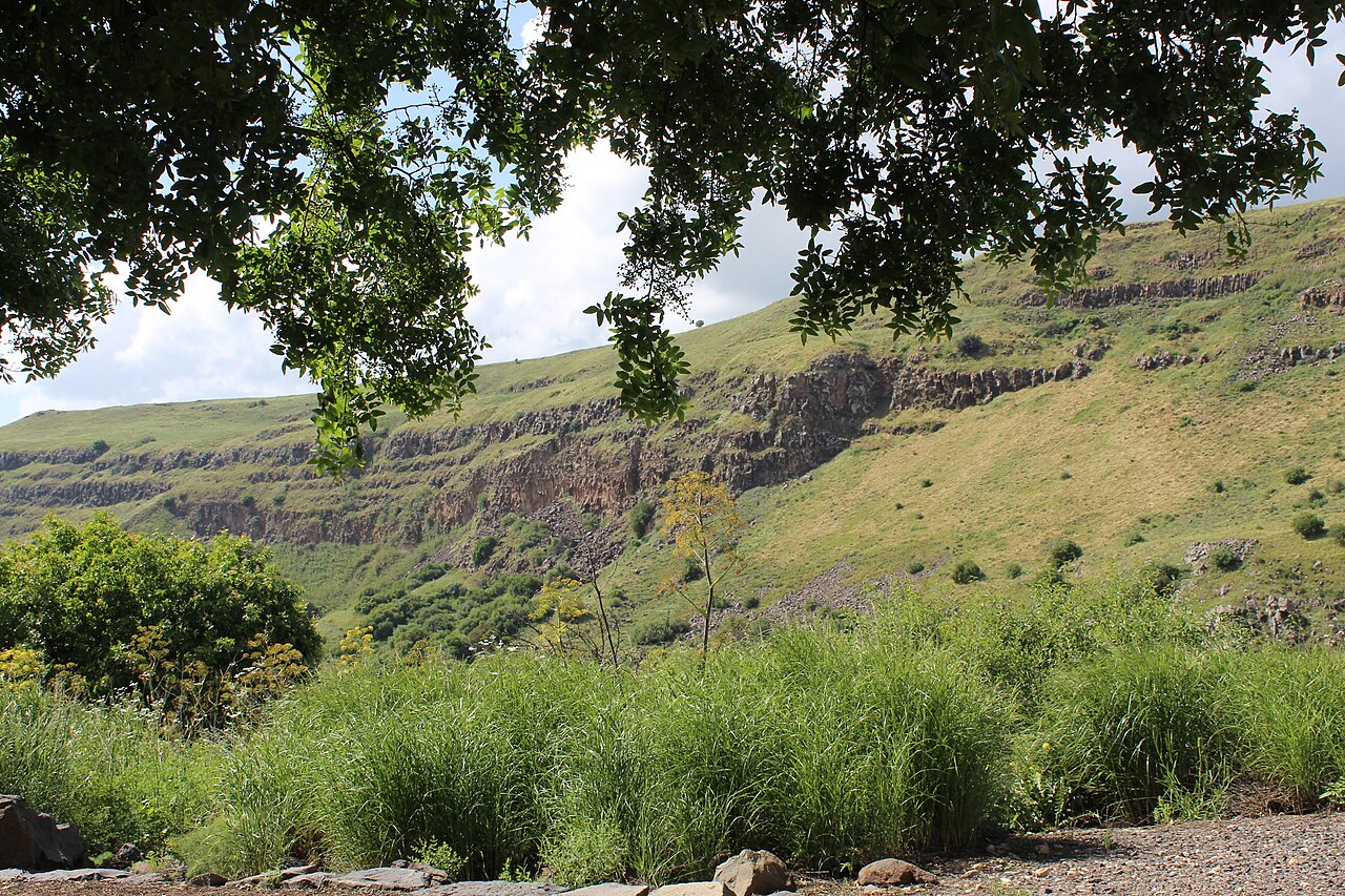
Three out-and-back walks stacked into one day, with the steep descent to the ancient city saved for last.
Segments
-
 The vulture lookout
Visitor centre → Cliff-edge observation post
Level basalt path
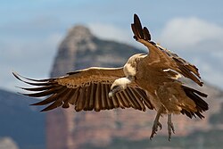
A short, near-level path runs out to an observation post set right on the lip of the canyon, looking across at the nesting ledges of the largest griffon vulture colony in Israel. Come early — the birds ride the thermals up off the cliff face as the rock warms. The colony was devastated by a poisoning incident in 2007 and has been rebuilt since, with eggs taken for incubation as part of the recovery programme. About 40 minutes there and back with time to watch.
About this place
The Eurasian griffon vulture is a large Old World vulture in the bird of prey family Accipitridae. It is also known as the Eurasian griffon or griffon vulture, although the latter term is sometimes used for the genus Gyps as a whole.
Read more on Wikipedia Photo: Pierre Dalous · CC BY-SA 3.0 -
 Across the dolmen field
Visitor centre → Bronze Age dolmen field
Open plateau, loose basalt
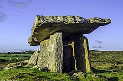
The trail to the falls crosses an open plateau scattered with dolmens — table-shaped burial monuments of two upright slabs under a capstone, raised in the Bronze Age. The field here holds 716 of them, one of the densest concentrations in the country, standing in the grass with nothing built around them.
About this place
A dolmen, or portal tomb, is a type of single-chamber megalithic tomb, usually consisting of two or more upright megaliths supporting a large flat horizontal capstone or "table". Most date from the Late Neolithic period and were sometimes covered with earth or smaller stones to form a tumulus. Small pad-stones may be wedged between the cap and supporting stones to achieve a level appearance. In many instances, the covering has eroded away, leaving only the stone "skeleton".
Read more on Wikipedia Photo: Frank Chandler · CC BY-SA 4.0 - Gamla waterfall
Dolmen field → Waterfall lookout
Plateau path to canyon rim
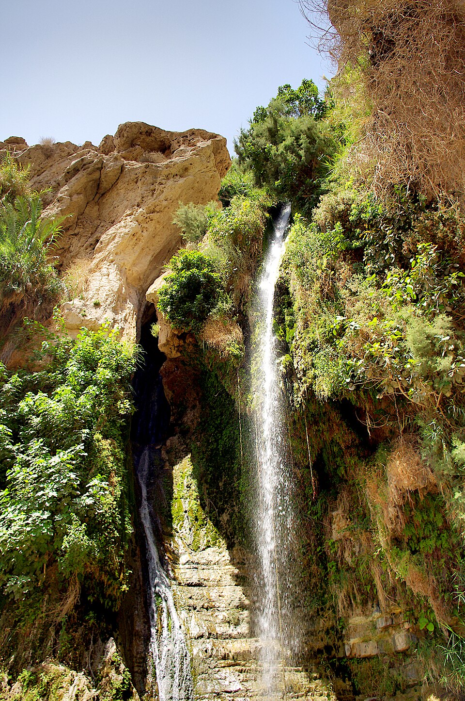
The path ends at a lookout facing the head of the Gamla stream, where the water drops 51 metres in a single fall — the highest in Israel. You view it from across the canyon rather than from below. Roughly 45 minutes each way from the car park, and worth timing for a day after winter rain, when it is actually flowing.
-
 Descent to the ancient city
Ridge lookout → The synagogue and the breach
Steep rocky descent
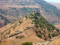
A steep, rough path drops off the plateau onto the camel-hump ridge itself. You walk down the spine past the 350-metre defensive wall — improvised in 66 CE by blocking the gaps between existing houses — to the breach the Romans forced, and on to the synagogue: a 22 by 17 metre hall with a Doric colonnade and a ritual bath beside it. Ballista stones still lie where they landed.
About this place
Gamla, also Gamala, was an ancient Jewish town on the Golan Heights. Believed to have been founded as a Seleucid fort during the Syrian Wars, it transitioned into a predominantly Jewish settlement that came under Hasmonean rule in 81 BCE. The town's name reflects its location on a high, elongated ridge with steep slopes resembling a camel's hump.
Read more on Wikipedia Photo: EdoM · Public domain - The climb back out
Ancient city → Visitor centre car park
Steep switchbacks on basalt
The only way back is the way you came in, and it is the hardest 40 minutes of the day: a sustained climb up the ridge in full sun. Keep water for it. From the top, the view back down the hump explains the whole siege better than any sign does.
About this place
Gamla, also Gamala, was an ancient Jewish town on the Golan Heights. Believed to have been founded as a Seleucid fort during the Syrian Wars, it transitioned into a predominantly Jewish settlement that came under Hasmonean rule in 81 BCE. The town's name reflects its location on a high, elongated ridge with steep slopes resembling a camel's hump.
Read more on Wikipedia Photo: EdoM · Public domain
Comments
Sign in to join the conversation.
No comments yet — be the first.