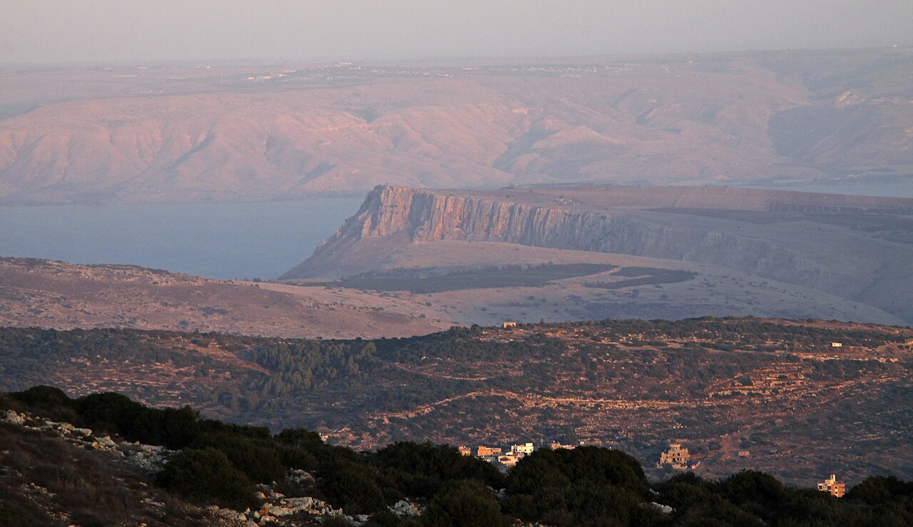
A single day that starts on an easy plateau, tips over the most dramatic cliff in the Galilee, and finishes in the valley below.
Segments
-
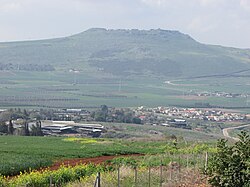 Across the plateau
Arbel National Park car park → Edge of the cliff
Open plateau, dirt path
An easy warm-up on a gentle rise across the top of the mountain, past the ruins of the Jewish village of Arbel and its synagogue — first built in the 4th century, rebuilt in the 6th, and still in use into the 8th. The plateau gives no hint of what is coming. About 25 minutes.
About this place
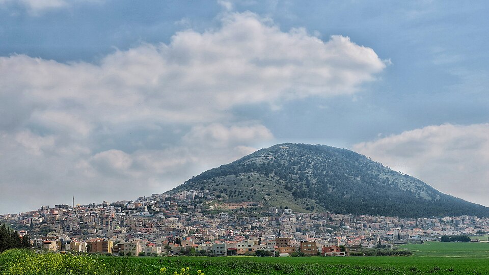
Arbel is a moshav in northern Israel. Located beside Mount Arbel next to the Sea of Galilee near Tiberias, it falls under the jurisdiction of Lower Galilee Regional Council. In 2024 its population was 765.
Read more on Wikipedia Photo: עדירל · CC BY-SA 3.0 -
 The summit lookout
Edge of the cliff → Arbel lookout point
Rocky cliff-top
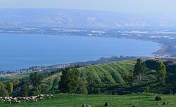
The ground stops and the Galilee opens. The whole Sea of Galilee lies below you, with Tiberias on its shore, the Golan Heights rising beyond the far bank and — on a clear winter day — the snow on Mount Hermon closing the horizon to the north. Sit here a while; this is what you came for.
About this place
The Sea of Galilee, also called Lake Tiberias, Genezareth Lake or Kinneret, is a freshwater lake in northeast Israel. It is the lowest freshwater lake on Earth and the second-lowest lake in the world, with its elevation fluctuating between 215 and 209 metres below sea level. It is approximately 53 km (33 mi) in circumference, about 21 km (13 mi) long, and 13 km (8 mi) wide. Its area is 166.7 km2 (64.4 sq mi) at its fullest, and its maximum depth is approximately 43 metres (141 ft). The lake is fed partly by underground springs, but its main source is the Jordan River, which flows through it from north to south with the outflow controlled by the Degania Dam.
Read more on Wikipedia Photo: Zachi Evenor and User:MathKnight · CC BY 2.0 - The handhold descent
Arbel lookout point → Base of the upper cliff
Steep exposed rock with iron handholds and cables
The heart of the route. The path drops straight down the north face, and where the rock steepens, iron staples and cables are driven into the limestone to hand yourself down by. It is short but it demands attention — face the rock, take it slowly, and keep your hands free. Around 45 minutes.
- The caves and the cliff fortress
Base of the upper cliff → Qal'at Ibn Ma'an
Cave galleries cut into the cliff face
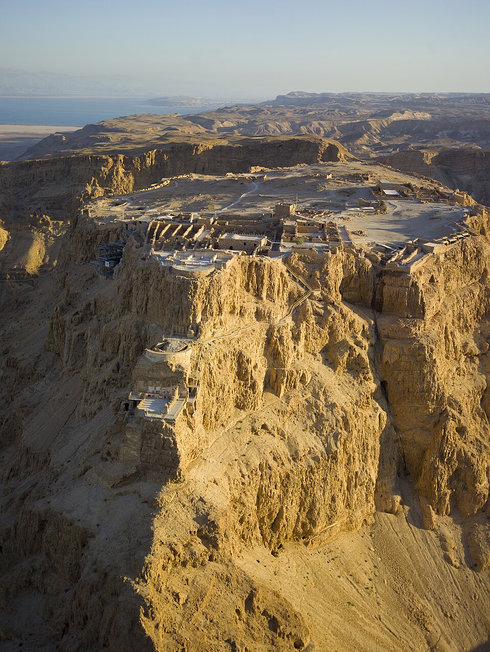
Natural hollows in the wall that people turned into a refuge and then a stronghold: Jewish rebels enlarged them into cliff dwellings with cisterns and ritual baths in the Second Temple period, Josephus fortified them in the revolt of 66 CE, and much later Ali Beg, son of the Druze ruler Fakhr ad-Din II, walled them into the fortress still known as Qal'at Ibn Ma'an — 'the fortress of the son of Ma'an'.
-
 Switchbacks down to Wadi Hamam
Qal'at Ibn Ma'an → Wadi Hamam village
Switchback path into the valley
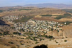
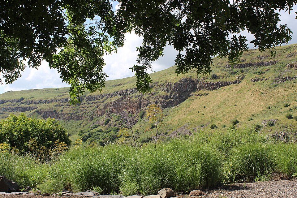
A long series of switchbacks unwinds into the valley with the cliffs of Mount Nitai opposite, ending at the Arab village of Wadi al-Hammam at their foot. Below the mountain lies Khirbet Wadi Hammam, the ruin of an ancient village with its own synagogue. Look back up before you leave — from down here the wall you just came down looks impossible.
About this place
Wadi al-Hammam, or Wadi Hamam, is an Arab village in northern Israel, located near the Sea of Galilee, at the foot of Mount Nitai and across the Wadi Hamam valley from Mount Arbel. It is the easternmost part of the al-Batuf Regional Council. In 2024 its population was 1,758.
Read more on Wikipedia Photo: Ori~ · Attribution
Comments
Sign in to join the conversation.
No comments yet — be the first.