← All routes
Trek Lower Galilee — Nazareth to the Sea of Galilee, Israel

The Jesus Trail: Nazareth to Capernaum

Four days on foot across the Lower Galilee, from Nazareth over the hills to the Sea of Galilee, tracing a path Jesus may have walked and stringing together ancient towns, panoramic ridges and lakeside holy sites.

The Jesus Trail: Nazareth to Capernaum
Photo: Zeromancer44 · CC BY-SA 3.0
Duration
4 days
Distance
65 km
Ascent
1600 m
Difficulty
Moderate
Best season
Spring (March–May) and autumn (October–November); summer is hot and exposed, winter can be rainy and muddy

The Jesus Trail is a 65 km walking and pilgrimage route that links the town where Jesus grew up, Nazareth, with Capernaum on the shore of the Sea of Galilee, where much of his ministry unfolded. It is not a wilderness trek but a cultural one: the way threads through olive groves and wheat fields, past Arab and Jewish villages, kibbutzim and moshavim, and over hills dense with two thousand years of history.

The walking is moderate — long, sometimes hot days on farm tracks and stony paths rather than steep mountains — with one genuinely dramatic descent down the cliff of Mount Arbel to the lake.

Getting there. Nazareth is easy to reach by bus from Tel Aviv, Haifa or Tiberias. The trail begins at the Church of the Annunciation in the Old City and ends at the ruins of Capernaum on the north shore of the Sea of Galilee, from where buses run back to Tiberias.

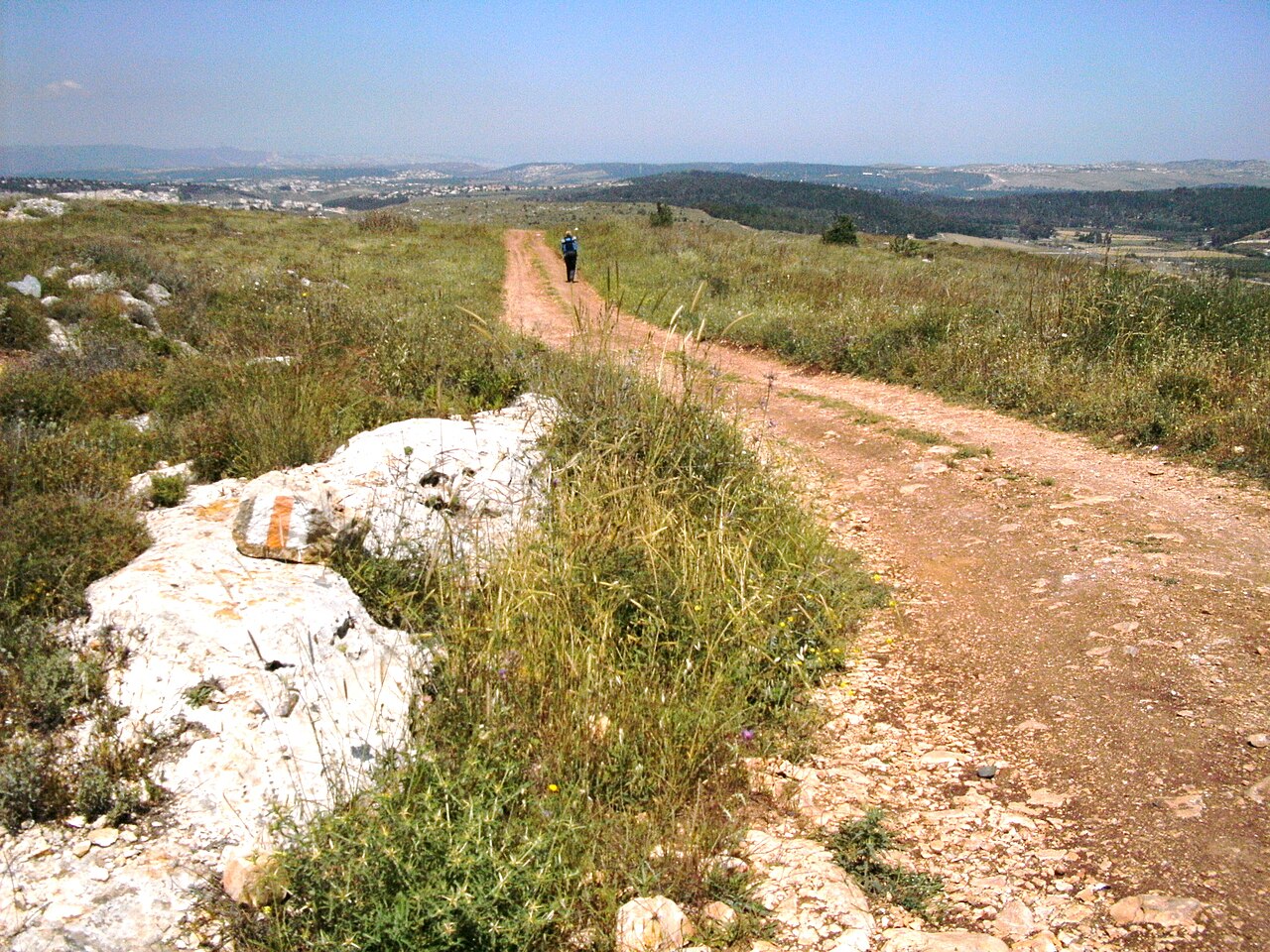
Waymarking. The route is marked with white-orange-white blazes and is free to walk, maintained by volunteers. It can be walked independently in either direction; most people go west to east, from the hills down to the lake.

Good to know:

Day 1

Nazareth to Cana via Zippori

Nazareth (Church of the Annunciation) → Cana (Kafr Kanna) 14 km ↑ 450 m

The trail leaves the Church of the Annunciation, climbs steep lanes and stairs out of Nazareth to ridges with wide views, then crosses open country to the mosaics of Zippori before dropping to Cana, where tradition places the wedding at which Jesus turned water into wine.

Segments

  1. Out of Nazareth to Zippori
    Out of Nazareth to Zippori 9 km ↑ 350 m

    Church of the Annunciation → Zippori National Park

    Town lanes, then hill tracks and olive groves

    Climb out of the Old City on stone stairs to a ridge overlooking Nazareth, then follow farm tracks through olive groves to Zippori (Sepphoris), the richly mosaiced Roman-era capital of the Galilee. About 3 hours.

    About this place

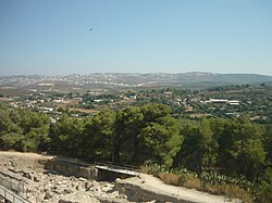
    Sepphoris, known in Hebrew as Tzipori and in Arabic as Saffuriya, is one of the most excavated and studied archaeological sites in Israel. Over time, the site was home to many civilizations. It was a Jewish city during classical antiquity, and was the epicenter of second century Jewish life. In the modern era it was the Palestinian town of Saffuriya, which was the second largest in the Nazareth Subdistrict after Nazareth itself.

    Read more on Wikipedia ↗

    Photo: Almog · Public domain

  2. Zippori to Cana
    Zippori to Cana 5 km ↑ 100 m

    Zippori → Cana (Kafr Kanna)

    Fields and village approach

    Cross fields and the Arab village of Mash'had to reach Kafr Kanna — Cana of the Galilee — the traditional site of the wedding miracle and the first night's stop.

    About this place

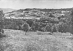
    Cana of Galilee is the location of the Wedding at Cana, at which the miracle of turning water into wine took place in the Gospel of John.

    Read more on Wikipedia ↗

    Photo: Daniel B. Shepp · Public domain
Day 2

Cana to Kibbutz Lavi

Cana (Kafr Kanna) → Kibbutz Lavi 14 km ↑ 300 m

An easy, green stage on forest paths and cultivated fields, gaining height gradually across the Lower Galilee toward the distinctive volcanic saddle of the Horns of Hattin, with the kibbutz of Lavi and its forest as the night’s stop.

Segments

  1. Fields toward Golani 8 km ↑ 180 m

    Cana → Golani Junction area

    Cultivated fields and open country

    Walk east through a patchwork of fields and pasture across the rolling Lower Galilee, with the Horns of Hattin rising ahead. About 2.5 hours.

  2. Into Lavi Forest 6 km ↑ 120 m

    Golani Junction area → Kibbutz Lavi

    Planted pine forest

    Enter the shaded pines of Lavi Forest and climb gently to Kibbutz Lavi, whose guesthouse makes the second night's stop.

Day 3

Kibbutz Lavi to Moshav Arbel

Kibbutz Lavi → Moshav Arbel 18 km ↑ 400 m

A history-dense stage climbing to the twin peaks of the Horns of Hattin — the battlefield of 1187 — then passing the Druze holy shrine of Nabi Shu’ayb before descending through the Arbel valley to Moshav Arbel, with the first views of the Sea of Galilee opening ahead.

Segments

  1. Up to the Horns of Hattin
    Up to the Horns of Hattin 6 km ↑ 250 m

    Kibbutz Lavi → Horns of Hattin

    Open basalt hillside

    Climb the volcanic saddle to the twin summits of the Horns of Hattin, where Saladin's army defeated the Crusaders in 1187, for a sweeping view over the Galilee. About 2 hours.

    About this place

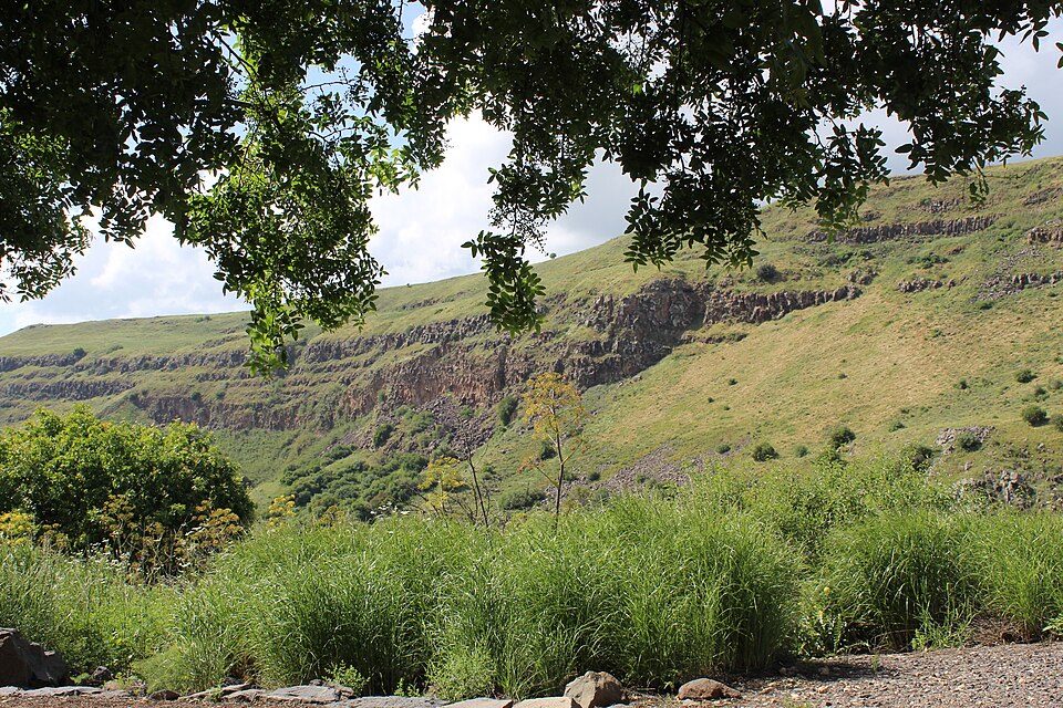
    The Horns of Hattin is an extinct volcano with twin peaks overlooking the plains of Hattin in the Lower Galilee, Israel. It is most famous as the site of the Battle of Hattin (1187).

    Read more on Wikipedia ↗

    Photo: AVRAM GRAICER · CC BY-SA 3.0

  2. Nabi Shu'ayb and the Arbel valley
    Nabi Shu'ayb and the Arbel valley 12 km ↑ 150 m

    Horns of Hattin → Moshav Arbel

    Descending valley tracks

    Pass Nabi Shu'ayb, the most important shrine of the Druze, then wind down through the fields of the Arbel valley to Moshav Arbel, perched above the cliff, for the third night.

    About this place

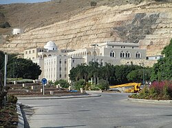
    The Station of Nabi Shuʿayb, known in English as Jethro's tomb, is a religious shrine west of Tiberias, in the Lower Galilee region of Israel, containing the purported tomb of Shuayb, considered a prophet and identified with the biblical Jethro, Moses' father-in-law. The complex hosting the tomb is the most important religious site in the Druze faith. A Druze religious festival takes place in the shrine every year in April.

    Read more on Wikipedia ↗

    Photo: Dr. Avishai Teicher · CC BY 2.5

Day 4

Mount Arbel to Capernaum

Moshav Arbel → Capernaum 19 km ↑ 450 m

The climax of the trail: a walk to the edge of the Arbel cliff for its famous view over the lake, a steep descent to the shore near Migdal, then a lakeside walk past Tabgha and up to the Mount of Beatitudes before finishing at the ancient synagogue and fishing village of Capernaum.

Segments

  1. The Arbel cliff and descent to the lake
    The Arbel cliff and descent to the lake 6 km ↑ 100 m

    Moshav Arbel → Sea of Galilee shore (Migdal)

    Cliff-edge path and steep rocky descent

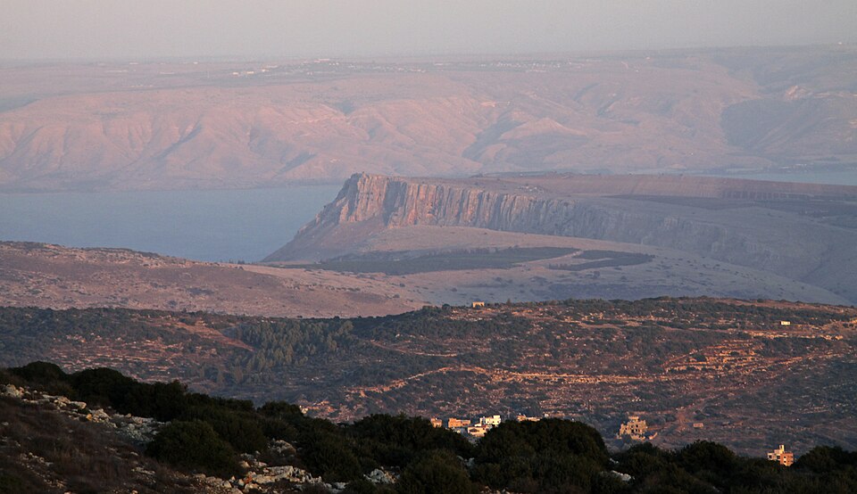
    Walk out to the summit of Mount Arbel for the trail's grandest view over the whole Sea of Galilee, then descend the steep cliff path — with cut steps and handholds — down to the lakeshore near Migdal. About 2.5 hours.

    About this place

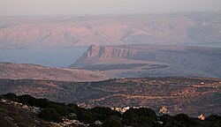
    Mount Arbel is a mountain in the Lower Galilee near Tiberias in Israel, with high cliffs, views of Mount Hermon and the Golan Heights, a cave-fortress, and ruins of an ancient synagogue. The mountain was formed by geological processes leading to the creation of the Jordan Rift Valley. Mount Arbel sits across from Mount Nitai.

    Read more on Wikipedia ↗

    Photo: Yuvalr · CC BY-SA 3.0

  2. Lakeshore to the Mount of Beatitudes
    Lakeshore to the Mount of Beatitudes 9 km ↑ 250 m

    Migdal → Mount of Beatitudes

    Shoreline path and a gentle climb

    Follow the northwest shore of the lake past Tabgha, traditional site of the feeding of the multitude, then climb the slope to the Mount of Beatitudes and its garden church. About 3 hours.

    About this place

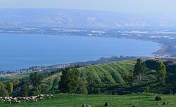
    The Sea of Galilee, also called Lake Tiberias, Genezareth Lake or Kinneret, is a freshwater lake in Israel. It is the lowest freshwater lake on Earth and the second-lowest lake in the world, with its elevation fluctuating between 215 and 209 metres below sea level. It is approximately 53 km (33 mi) in circumference, about 21 km (13 mi) long, and 13 km (8 mi) wide. Its area is 166.7 km2 (64.4 sq mi) at its fullest, and its maximum depth is approximately 43 metres (141 ft). The lake is fed partly by underground springs, but its main source is the Jordan River, which flows through it from north to south with the outflow controlled by the Degania Dam.

    Read more on Wikipedia ↗

    Photo: Zachi Evenor and User:MathKnight · CC BY 2.0

  3. Down to Capernaum
    Down to Capernaum 4 km ↑ 0 m

    Mount of Beatitudes → Capernaum

    Descent to the lakeshore

    Drop back to the water's edge to finish at Capernaum, the lakeside village that was the base of Jesus's Galilean ministry, with its white limestone synagogue and black basalt houses.

    About this place

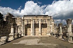
    Capernaum was a fishing village established during the time of the Hasmoneans in Israel, located on the northern shore of the Sea of Galilee. It had a population of about 1,500 in the 1st century AD. Archaeological excavations have revealed two ancient synagogues built successively at the same spot. A house progressively turned into a church during the 4th and 5th centuries is held by Christian tradition to have been the home of Saint Peter.

    Read more on Wikipedia ↗

    Photo: Eddie Gerald · CC BY-SA 3.0 igo