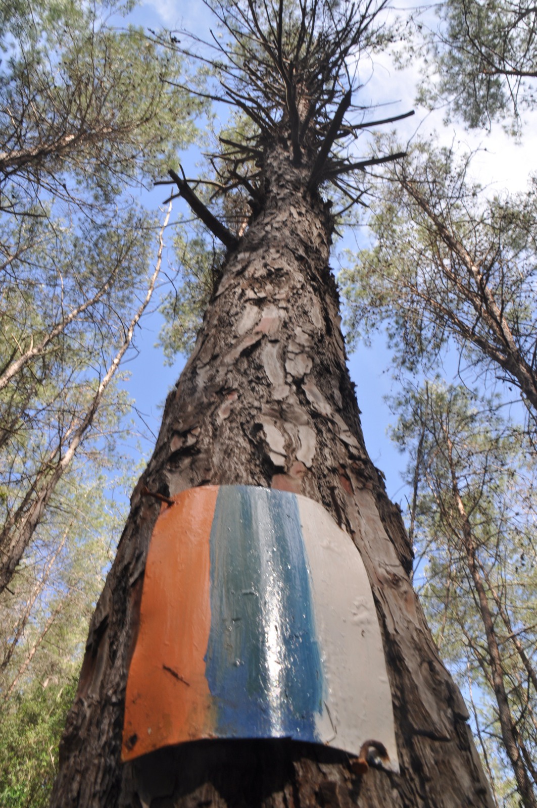
The northern trail at its greenest: spring-fed streams, oak and terebinth woodland and the long ridge of Mount Meron with views to Mount Hermon and the sea.
Segments
-
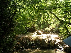 Up Nahal Amud
Tzfat → Ein Koved (Nahal Amud)
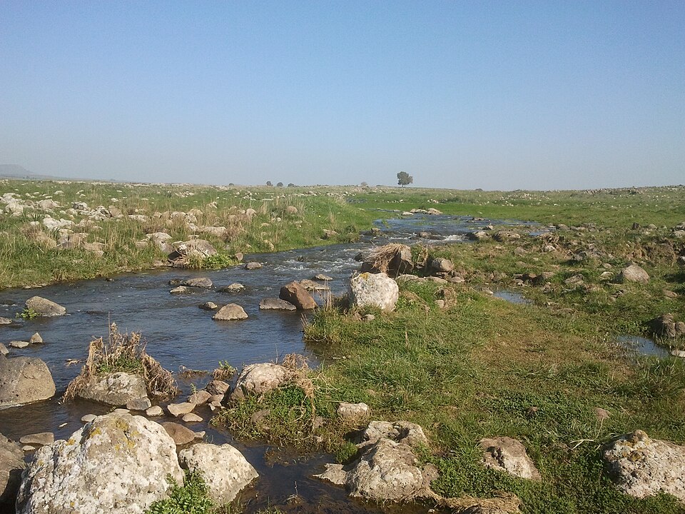
Shaded stream gorge
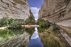
Drop from the artists' town of Tzfat into Nahal Amud, a deep, spring-fed canyon named for the freestanding rock pillar at its heart. Follow the water past mills and pools beneath oak and fig. About 3.5 hours.
About this place
Nahal Amud, also known as the Wadi al-Amud, is a stream in the Upper Galilee region of Israel that flows into the Sea of Galilee.
Read more on Wikipedia Photo: Pacman · Public domain -
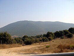 Onto the Meron ridge
Ein Koved → Mount Meron
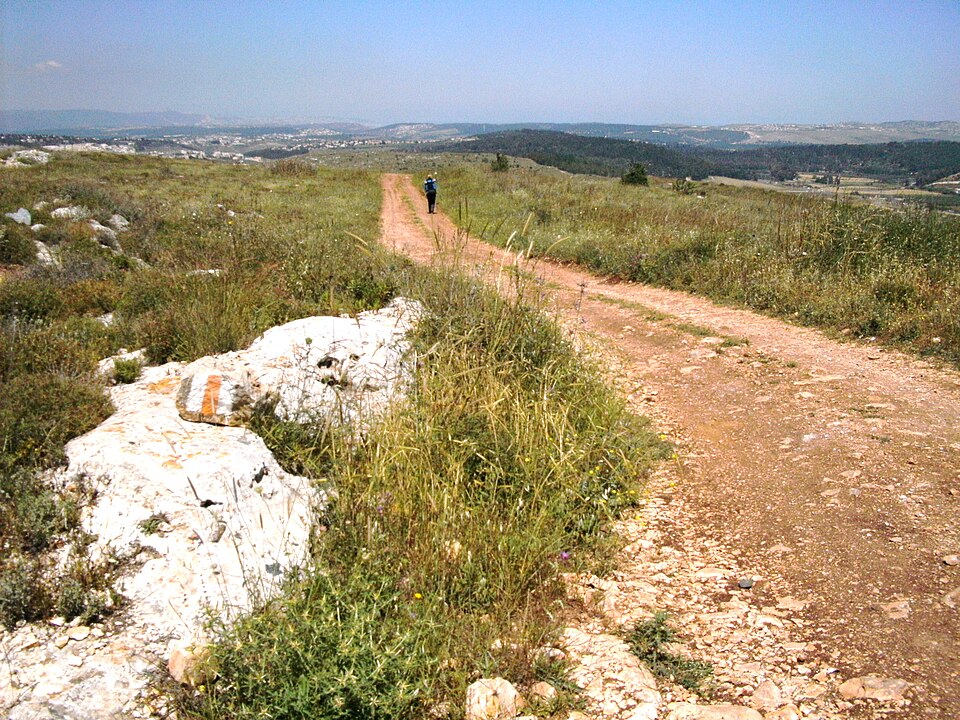
Forest climb to open ridge
Climb steadily out of the gorge onto Mount Meron, at 1,208 m the highest peak in the Galilee, ringed by a nature reserve of wild peonies and cyclamen with a summit-ridge panorama across the whole north. About 3.5 hours.
About this place
Mount Meron, also known as Mount Jarmaq or Jebel Jarmaq, is a mountain in the Upper Galilee region of Israel. It has special significance in Jewish religious tradition and parts of it have been declared a nature reserve. At 1,204 metres (3,950 ft) above sea level, Mount Meron is the highest peak in Israel within the Green Line. The mountain is a major motif in the art of the artists' quarter of Safed.
Read more on Wikipedia Photo: Lior Golgher • ליאור גולגר · CC BY-SA 3.0
Comments
Sign in to join the conversation.
No comments yet — be the first.