← All routes
Trek England — Cornwall, United Kingdom

Cornwall's Coast Path: St Ives to Land's End

Three days around the wild granite tip of Penwith — from St Ives along Cornwall's roughest cliffs, past ruined engine houses and hidden coves, to Land's End.

Cornwall's Coast Path: St Ives to Land's End
Photo: Geof Sheppard · CC BY-SA 3.0
Duration
3 days
Distance
42 km
Ascent
1250 m
Difficulty
Moderate
Best season
April–September, with May–June best for cliff wildflowers and long light

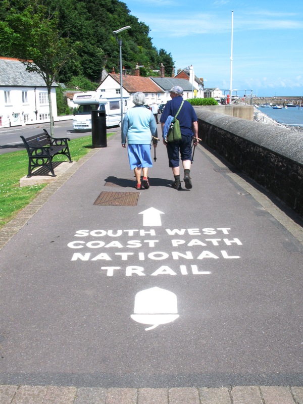
The South West Coast Path runs about 1,014 km (630 miles) from Minehead in Somerset all the way round to Poole Harbour in Dorset — England’s longest National Trail after the England Coast Path. This is the piece most walkers would pick if they only had a few days: the far western tip of the Penwith peninsula, where Cornwall runs out of land.

Because the path faithfully rises and falls at every stream mouth and headland, it is far tougher than a coastal walk sounds. The northern side of Penwith is the roughest of it — a boulder-strewn, granite-slabbed switchback with almost no easy ground. Then the character changes: around Pendeen and Botallack the cliffs fill with the chimneys and engine houses of Cornwall’s abandoned tin mines, clinging to ledges above the Atlantic, and part of a UNESCO World Heritage Site. Finally the coast swings south to the famous, crowded headland at Land’s End.

Getting there. Trains run to St Ives via a short branch line from St Erth, itself on the main line from Penzance. From Land’s End, buses run back to Penzance, where you can pick up the train home.

Good to know:

Day 1

St Ives to Zennor

St Ives → Zennor 10 km ↑ 350 m
Navigate this day

Leave the harbour town and commit to the boulder-strewn granite coast, finishing inland at one of Cornwall’s most atmospheric small villages.

Segments

  1. Out of St Ives to Zennor Head
    Out of St Ives to Zennor Head 8 km ↑ 250 m 📍 Map

    St Ives harbour → Zennor Head

    Boulder-strewn granite clifftop

    St Ives was a fishing port before it became a resort and an artists' colony, and it empties quickly: within a mile the houses are gone and the path is picking its way over granite slabs, boulders and bracken. Slow, awkward and completely wild. About 4 hours.

    About this place

    St Ives is a seaside town, civil parish and port in Cornwall, England, United Kingdom. The town lies north of Penzance and west of Camborne on the coast of the Celtic Sea. In former times, it was commercially dependent on fishing. The decline in fishing, however, caused a shift in commercial emphasis, and the town is now primarily a popular seaside resort. It is notable in achieving the title of Best UK Seaside Town from the British Travel Awards in both 2010 and 2011. It was named best seaside town of 2007 by The Guardian newspaper.

    Read more on Wikipedia ↗

    Photo: waterborough · Public domain

  2. Down to the village
    Down to the village 2 km ↑ 100 m 📍 Map

    Zennor Head → Zennor

    Field path inland

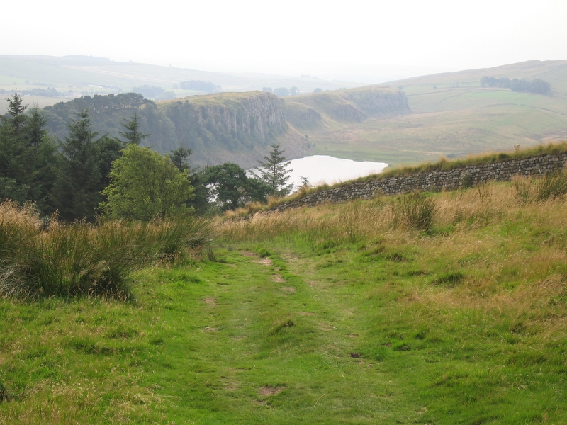
    Turn inland off the headland to Zennor, a tiny parish on the north coast about 10 km from Penzance, wrapped in ancient field walls. Its church carries the carved mermaid of local legend, and there is a pub and a hostel — a welcome sight after that coast.
    About this place

    Zennor is a village and civil parish in Cornwall, England, United Kingdom. The parish includes the villages of Zennor, Boswednack and Porthmeor and the hamlet of Treen. Zennor lies on the north coast, about 6 miles (10 km) north of Penzance, along the B3306 road which connects St Ives to the A30 road. Alphabetically, the parish is the last in Britain. Its name comes from the Cornish name for the local saint, Saint Senara.

    Read more on Wikipedia ↗

    Photo: Jim Champion · CC BY-SA 3.0

Day 2

Zennor to Cape Cornwall

Zennor → Cape Cornwall 21 km ↑ 600 m
Navigate this day

More rough coast to the lighthouse at Pendeen Watch, then engine houses on the cliff edge all the way to Cape Cornwall.

Segments

  1. The long empty coast to Pendeen Watch
    The long empty coast to Pendeen Watch 13 km ↑ 350 m 📍 Map

    Zennor → Pendeen Watch

    Remote clifftop, rough and boggy in places

    The emptiest miles of the walk — hours of cliff, heath and small coves with almost no way off the path — ending at Pendeen Watch, the working lighthouse standing about a kilometre north of Pendeen village. About 5 hours.

    About this place

    Pendeen Lighthouse, also known as Pendeen Watch is an active aid to navigation located 2 kilometres (1.2 mi) to the north of Pendeen in west Cornwall, England. It is located within the Aire Point to Carrick Du SSSI, the Cornwall Area of Outstanding Natural Beauty and the Penwith Heritage Coast. The South West Coast Path passes to the south.

    Read more on Wikipedia ↗

    Photo: Jim Champion · CC BY-SA 3.0

  2. Levant and the tin coast
    Levant and the tin coast 4 km ↑ 100 m 📍 Map

    Pendeen Watch → Botallack

    Mining tracks along the cliff

    The coast turns industrial. At Levant, a National Trust site near Trewellard, sits the world's oldest Cornish steam winding engine still working where it was built; the mine's tunnels run out under the seabed.

    About this place

    Levant Mine and Beam Engine is a National Trust property at Trewellard, Pendeen, near St Just, Cornwall, England, UK. Its main attraction is that it has the world's oldest Cornish steam winding engine still working in its original location. There is also a visitor centre, a short underground tour, and the South West Coast Path leads to Botallack Mine, via a cliff-top footpath.

    Read more on Wikipedia ↗

    Photo: Kernow Skies · CC BY-SA 3.0

  3. Crowns engine houses to Cape Cornwall
    Crowns engine houses to Cape Cornwall 4 km ↑ 150 m 📍 Map

    Botallack → Cape Cornwall

    Clifftop path

    Pass the Crowns at Botallack — two engine houses perched on a ledge just above the breakers, part of the Cornwall and West Devon Mining Landscape World Heritage Site — and continue to Cape Cornwall, a small headland north of Land's End that was believed to be Cornwall's most westerly point until the first Ordnance Survey put it right.

    About this place

    Cape Cornwall is a small headland in West Cornwall, England. It is 4 miles (6.4 km) north of Land's End near the town of St Just. Until the first Ordnance Survey in the early 19th-century, Cape Cornwall was believed to be the most westerly point in Cornwall.

    Read more on Wikipedia ↗

    Photo: Kernow Skies · CC BY-SA 3.0

Day 3

Cape Cornwall to Land's End

Cape Cornwall → Land's End 11 km ↑ 300 m
Navigate this day

Gentler cliffs south from the Cape, a long sand beach at Sennen, and the final headland.

Segments

  1. South to Sennen Cove
    South to Sennen Cove 8 km ↑ 200 m 📍 Map

    Cape Cornwall → Sennen Cove

    Clifftop path with coves

    Kinder walking than anything since St Ives, dipping through small coves before the sweep of Whitesand Bay opens up and drops you into Sennen Cove — a small coastal village in Sennen parish, with a lifeboat station and Cornwall's best-known surf beach. About 3 hours.

    About this place

    Sennen Cove is a small coastal village in the parish of Sennen in Cornwall, England, United Kingdom. According to the Penwith District Council, the population of this settlement was estimated at 180 persons in 2000. The South West Coast Path passes through Sennen Cove.

    Read more on Wikipedia ↗

    Photo: Jim Champion · CC BY-SA 3.0

  2. The last headland
    The last headland 3 km ↑ 100 m 📍 Map

    Sennen Cove → Land's End

    Short clifftop finish

    A short walk out to Land's End, the headland about 13 km west-south-west of Penzance where England stops: English Channel to the east, Celtic Sea to the west, the Longships lighthouse offshore. The tourist complex is unlovely, but walk out onto the rocks and the ending earns itself.

    About this place

    Land's End is a headland and tourist and holiday complex in western Cornwall, England, United Kingdom, on the Penwith peninsula about eight miles (13 km) west-south-west of Penzance at the western end of the A30 road. To the east of it is the English Channel, and to the west the Celtic Sea.

    Read more on Wikipedia ↗

    Photo: Balon Greyjoy · CC0

Comments