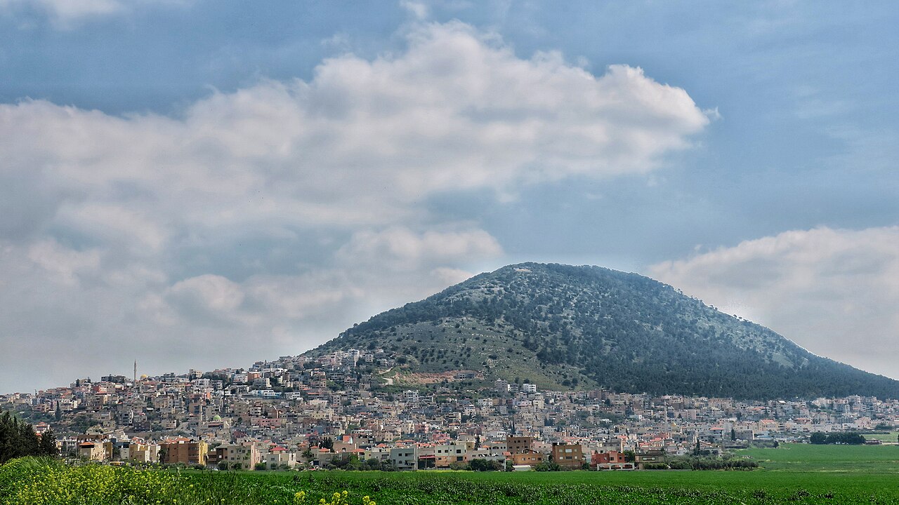
A single climb from the foot of the mountain through forest and switchbacks to the churches and the panorama at the top.
Segments
- Through the oak forest
Trailhead below Kfar Tavor → Lower slopes
Forest path
The first stretch is the gentlest and the shadiest, winding up through oak and pine on the mountain's flank. Look back early and often — the valley opens behind you faster than you expect. About 45 minutes.
- The switchbacks
Lower slopes → Summit gate
Steep switchback ascent
The real work of the day: a tight sequence of hairpins up the steep upper cone, exposed and unrelenting. Pilgrims once climbed a stone stairway of some 4,300 steps to reach the top; the switchbacks are the modern penance. Around 1 hour.
- The Church of the Transfiguration
Summit gate → Franciscan basilica
Paved monastery grounds
The Franciscan basilica, built between 1919 and 1924 to Antonio Barluzzi's design, stands on the ruins of a Byzantine church of the fifth or sixth century and a Crusader church of the 12th — the layers are visible in the crypt beneath. Tradition places the Transfiguration of Jesus here. About 45 minutes.
- The Greek Orthodox monastery
Franciscan basilica → Monastery of St Elias
Summit path
A wall separates the summit's two communities. The Greek Orthodox monastery of St Elias, begun in 1859 and completed in 1862, is the quieter half — smaller, darker, heavy with incense, and largely free of the coach parties. Its community marks the Feast of the Transfiguration each August with a night vigil. About 30 minutes.
- The valley panorama
Monastery of St Elias → Northern viewpoint
Summit lookout
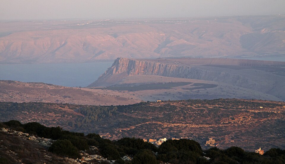
Finish at the rim. The Jezreel Valley spreads out flat and farmed in every direction, with the Galilee hills to the north and Mount Gilboa closing the southern edge. It was to this mountain that the prophetess Deborah summoned Barak with ten thousand men before they swept down to break Sisera's Canaanite army (Judges 4) — from up here the tactics need no explaining.
Comments
Sign in to join the conversation.
No comments yet — be the first.