Trek Vancouver — Sea-to-Sky day trip, Canada

Joffre Lakes: Three Glacier Lakes Under the Matier Icefield

A five-kilometre climb past three turquoise lakes, each brighter than the last, to Upper Joffre Lake at the foot of a hanging glacier. One of the most photographed hikes in BC, with a pass system and cultural closures you need to plan around.

Joffre Lakes: Three Glacier Lakes Under the Matier Icefield
Photo: Giuseppe Milo · CC BY 2.0
Duration
1 day
Distance
10 km
Walking time (est.)
6 h
Ascent
370 m
Difficulty
Moderate
Best season
July to early October, outside the scheduled cultural closures; snowbound from November to late May

Walking

    Your location stays on this phone. It is never sent, stored or put in a link.

    Packing list

    Getting there and back

    Start
    Joffre Lakes parking lot, Highway 99 (Duffey Lake Road)
    Finish
    Joffre Lakes parking lot (out-and-back)

    One-way: plan your trip back

    Permits and booking

    The colour is real. Lower, Middle and Upper Joffre Lakes are fed by the meltwater of the glaciers on Mount Matier and Joffre Peak, and the fine rock flour suspended in that water turns them a milky turquoise that looks edited even when it is not. The trail climbs about five kilometres from the highway through old forest, past a waterfall and over a rocky moraine, and each lake sits higher and closer to the ice than the one before. At Upper Joffre Lake the glacier hangs directly above the water, and on warm afternoons you may hear it crack and rumble.

    This is a moderate hike made popular by a single photograph, and the land managers have had to respond. The park, now officially Pipi7íyekw/Joffre Lakes Park, is co-managed by BC Parks with the Líl̓wat Nation and N’Quatqua, on whose territory it sits. Visitors need a free, per-person trail pass in peak season, and the park closes to recreational visitors for set periods each year so the two Nations can use the land for ceremony and harvesting. In 2026 those closures ran June 20 to 27 and September 8 to 30. Plan your trip around them rather than being surprised by them.

    It is also a long day from Vancouver: roughly three hours each way by car, past Whistler and Pemberton and up the Duffey Lake Road. Worth it, but only with an early start or a night in Pemberton or Whistler.

    Getting there. Drive Highway 99 north through Squamish, Whistler and Pemberton; the trailhead parking is on the Duffey Lake Road section of Highway 99, east of Pemberton. There is no public transit. Parking is only allowed in the designated lots, not along the highway, and they fill early on summer weekends.

    Permits & passes. A free day-use trail pass is required for every person in your group during the pass season (in 2026, May 11 to October 25). Passes are released on the BC Parks website at 7 a.m. Pacific time two days before your visit and go quickly. Campers with a reservation at Upper Joffre Lake do not need a separate day pass. Dates and rules change each year: check the BC Parks page and advisories before you go.

    Good to know:

    Tips & Insights for this route Planning this route? Read our practical tips before you go — 9 tips. Read the tips

    Elevation profile

    Highest point
    2705 m Day 1
    Lowest point
    1564 m Day 1
    Total descent
    1771 m

    Point at the profile, or focus it and use the arrow keys, to see that spot on the map.

    Terrain heights along a straight line between each day’s stops, not along the footpath, so a pass or a switchback the path takes can be missing. Descent and walking times use the same line.

    Elevation data: Terrain Tiles (Mapzen, AWS Open Data)

    Day by day

    DayDistanceAscentDescent (est.)Walking time (est.)
    Day 1 Hardest dayLower, Middle and Upper Joffre Lakes
    Distance10 kmAscent370 mDescent (est.)1771 mWalking time (est.)6 h

    Flights on Kayak Car rental on Localrent Travel eSIM on Airalo

    Day 1

    Lower, Middle and Upper Joffre Lakes

    Joffre Lakes parking lot, Highway 99 (Duffey Lake Road) → Joffre Lakes parking lot (out-and-back) 10 km 370 m 6 h

    A steady climb from the highway past each of the three lakes in turn, with the glacier getting closer at every one, then back down the same way.

    Water and food

    No drinking water or food found near this day’s stops. Carry what you need for the whole day.

    Places mapped by volunteers on OpenStreetMap; opening times and taps change, so check before relying on one. © OpenStreetMap contributors

    Segments

    1. Lower Joffre Lake 0.3 km 0 m Map

      Parking lot → Lower Joffre Lake

      Flat, well-graded path

      A five-minute walk from the car brings you to the first lake, already a startling colour, with the glacier visible far up the valley. It is the view that draws most people here, and it takes no effort at all. Take the photo and keep going. About 10 minutes.

    2. Forest climb and the moraine
      Forest climb and the moraine 1.5 km 170 m Map

      Lower Joffre Lake → Base of the moraine climb

      Forest trail with roots and some steps, then a rocky moraine

      The trail climbs steadily through forest, then crosses a rocky moraine, the debris left behind by a retreating glacier. The old boulder-hopping sections have been improved, but footing is still uneven and slippery when wet. This is the steepest sustained part of the day. About 50 minutes.

      About this place

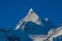
      Mount Matier is a prominent 2,783-metre (9,131-foot) mountain summit located in the Coast Mountains, in Joffre Lakes Provincial Park, in southwestern British Columbia, Canada. It is the highest point of the Joffre Group, which is a subset range of the Coast Mountains. It is situated 26 km (16 mi) east of Pemberton, and 9 km (6 mi) northeast of Lillooet Lake. Its nearest higher peak is Mount Weart, 30 km (19 mi) to the southwest. The slopes of the mountain are covered by the Matier Glacier on the northwest, Anniversary Glacier on the northeast, Twin One Glacier on the southeast, and Hartzell Glacier to the south. Precipitation runoff from the peak drains into Joffre Creek and Twin One Creek, both tributaries of the Lillooet River.

      Read more on Wikipedia Photo: Murray Foubister · CC BY-SA 2.0
    3. Middle Joffre Lake and the waterfall
      Middle Joffre Lake and the waterfall 1.2 km 120 m Map

      Top of the moraine → Middle Joffre Lake

      Rough trail, then lakeshore

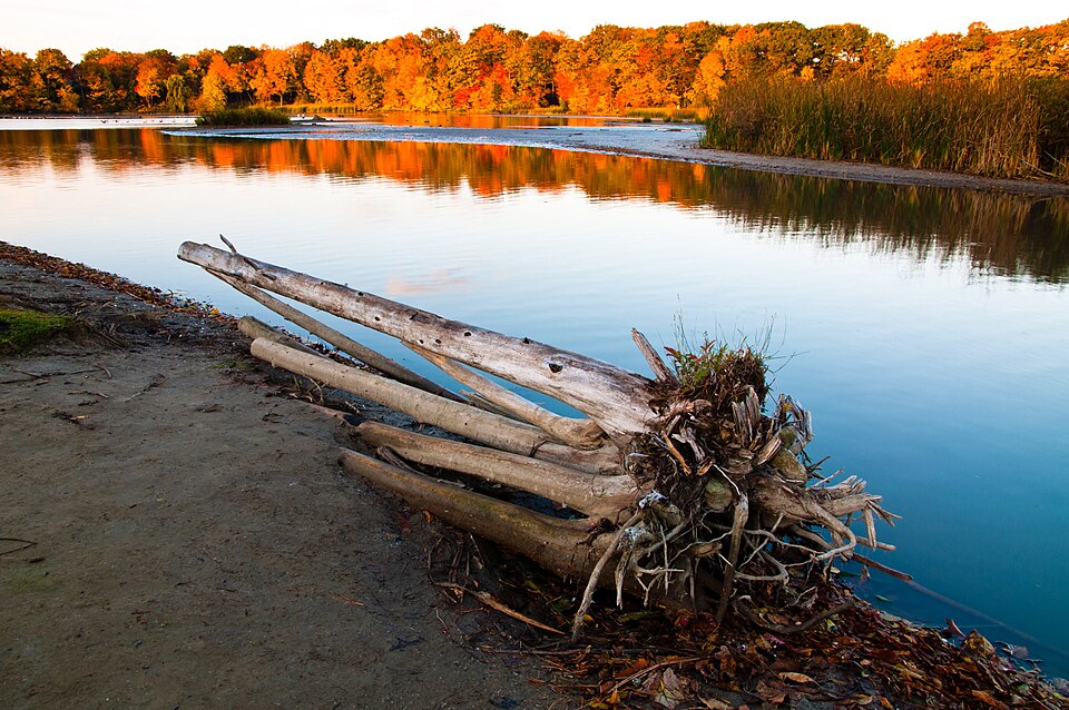
      Middle Lake is the most vivid of the three, framed by trees and backed by the glacier. A waterfall pours in nearby. The log reaching into the lake here is the famous photo spot; queues form on summer mornings, and the log is slick. About 40 minutes.

      About this place

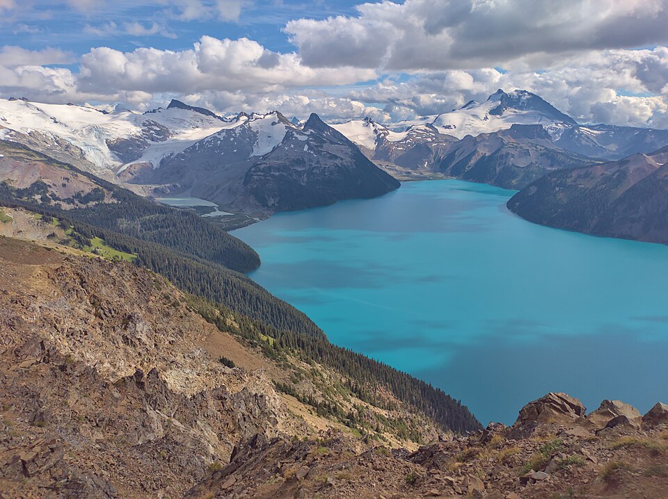
      Joffre Peak is a 2,721-metre (8,927-foot) mountain summit located in the Coast Mountains, in Joffre Lakes Provincial Park, in southwestern British Columbia, Canada. It is the second-highest point of the Joffre Group, which is a subset of the Lillooet Ranges. It is situated 26 km (16 mi) east of Pemberton and 11 km (7 mi) northeast of Lillooet Lake. Joffre is more notable for its steep rise above local terrain than for its absolute elevation as topographic relief is significant with the summit rising 1,500 meters (4,920 ft) above Cayoosh Creek in 4 km (2.5 mi). The nearest higher peak is Mount Matier, 1.6 km (1 mi) to the south. The mountain's climate supports the Matier Glacier on the southwest slope, and the Anniversary Glacier on the southeast slope. Precipitation runoff from the peak drains into Joffre Creek and Cayoosh Creek which are within the Fraser River watershed.

      Read more on Wikipedia Photo: 潘世博 · CC BY-SA 2.0
    4. Upper Joffre Lake
      Upper Joffre Lake 2 km 80 m Map

      Middle Joffre Lake → Upper Joffre Lake

      Narrower, rougher trail with rocky sections

      The last stretch is narrower and rougher, climbing past cascades to the top lake, which sits directly below the hanging glacier on Mount Matier. Find a rock on the shore away from the campground, eat lunch and watch the ice. Stay well clear of the glacier and the slope below it. About 45 minutes, plus time at the lake.

      About this place

      Mount Matier is a prominent 2,783-metre (9,131-foot) mountain summit located in the Coast Mountains, in Joffre Lakes Provincial Park, in southwestern British Columbia, Canada. It is the highest point of the Joffre Group, which is a subset range of the Coast Mountains. It is situated 26 km (16 mi) east of Pemberton, and 9 km (6 mi) northeast of Lillooet Lake. Its nearest higher peak is Mount Weart, 30 km (19 mi) to the southwest. The slopes of the mountain are covered by the Matier Glacier on the northwest, Anniversary Glacier on the northeast, Twin One Glacier on the southeast, and Hartzell Glacier to the south. Precipitation runoff from the peak drains into Joffre Creek and Twin One Creek, both tributaries of the Lillooet River.

      Read more on Wikipedia Photo: Murray Foubister · CC BY-SA 2.0
    5. Back down to the parking lot
      Back down to the parking lot 5 km 0 m Map

      Upper Joffre Lake → Parking lot

      Same trail in reverse

      Retrace the route past Middle and Lower Lakes. The descent is kinder on the lungs but harder on the knees, and the moraine and roots are where people slip. About 1.5 hours.

      About this place

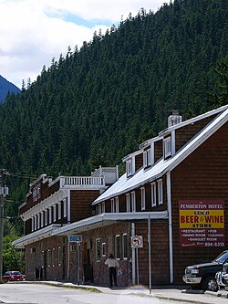
      Pemberton is a village municipality in the Squamish-Lillooet region of southwestern British Columbia. This Pemberton Valley community is on the southwest shore of the Lillooet River and northeast shore of Pemberton Creek. On BC Highway 99, the locality is by road about 153 kilometres (95 mi) north of Vancouver, 33 kilometres (21 mi) northeast of Whistler, and 100 kilometres (62 mi) southwest of Lillooet.

      Read more on Wikipedia Photo: Philippe Giabbanelli · CC BY 3.0
    Partner link: if you book through it we may earn a commission, at no extra cost to you. It does not change what we recommend. How this works

    Tips & Insights

    Packing list

    Filled in for this route from the kit a walk like this needs and the gear its tips mention. Tick things off as you pack.

    Clothing and footwear
    Gear
    Health and sun
    Water and food

    Permits & fees

    • Set an alarm for the pass release

      Free day-use trail passes are released at 7 a.m. Pacific two days before each date and are often gone within minutes on summer weekends. Every person needs one. Be logged in on the BC Parks reservation site before 7, and cancel your pass if your plans change so someone else can use it.

    Best time to go

    • Late July to September, around the closures

      The lakes are most vivid once the ice is off and the glacier is melting hard, from mid-summer into early autumn. Check the published cultural closure dates for your year before you plan anything, and avoid weekends if you can; weekdays are calmer and passes are easier to get.

    Getting there

    • Leave Vancouver before 6 a.m.

      The drive is about three hours each way, and the lots fill early. An early start gets you parking, cooler walking and soft morning light on Upper Joffre Lake. The Sea-to-Sky and Duffey Lake Road sections are both mountain highways, so do not drive them tired after dark.

    Safety

    • Stay off the logs and out of the ice fall zone

      The famous log at Middle Lake and the edges of the lakes are slippery, and people do fall in; the water is glacier-cold. At Upper Joffre Lake, do not approach the glacier or the moraine below it, where ice and rock fall. Cell coverage is unreliable.

    Gear & packing

    • Hiking shoes, a warm layer, a filter

      The upper trail is rough, rooty and rocky, so wear real hiking footwear. The lakes sit in cold air off the glacier even on hot days; bring a warm layer. There are pit toilets at the parking lot and the campsite, but no treated water.

    Water & food

    • Carry your lunch to the top lake

      There are no services at the trailhead. Pack lunch and snacks and eat at Upper Joffre Lake, where you have earned the view. Pemberton has cafés and a grocery store for supplies on the way in.

    Local insights

    • This is Líl̓wat and N'Quatqua territory

      The park’s Indigenous name, Pipi7íyekw, and the closures are part of a co-management agreement, not a temporary inconvenience. Read the interpretive signs at the trailhead, pack out every scrap, and stay on the trail; trampled shoreline is one of the reasons the pass system exists.

    Where to stay

    • Pemberton or Whistler

      Pemberton is the closest town, about half an hour from the trailhead, and quieter and cheaper than Whistler. Whistler has far more choice and is roughly an hour away. Either turns a punishing six-hour round-trip drive into a relaxed morning start.

    With kids

    • Lower Lake is for everyone

      Lower Joffre Lake is a few minutes’ flat walk from the parking lot and already a vivid turquoise, so families with small children can see it without the full climb (you still need a pass for each person). Older kids who hike regularly can manage the whole route.

    Comments