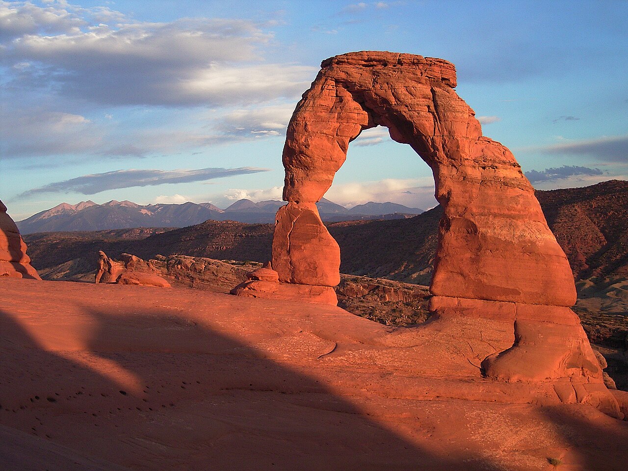
A compact half-day hike that packs in pioneer history, Ute rock art, an exposed rock climb and one of the great views in Utah.
Segments
-
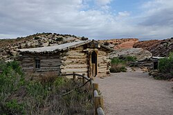 Wolfe Ranch and the Ute petroglyph panel
Wolfe Ranch trailhead → Ute petroglyph panel
Flat gravel path and a short spur
Start at the weathered log cabin of Wolfe Ranch, a homestead left from the turn of the twentieth century, cross the wash on a footbridge and take the short spur to a panel of Ute rock art carved into the cliff — horses and riders, so pecked after the Utes had horses. About 10 minutes.
About this place
The Wolfe Ranch, also known as Turnbow Cabin, is located in Arches National Park near Moab, Utah, United States.
Read more on WikipediaPhoto: Mark Levisay · CC BY 2.0
-
 The slickrock slab
Ute petroglyph panel → Top of the slab
Open, steep bare sandstone, cairn-marked
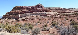
The heart of the climb: a long, steady incline straight up an open slab of Entrada Sandstone, following cairns rather than a trail. There is nothing here to stand under — no shade of any kind — and this is the stretch that turns a short hike into a hard one on a hot day. About 40 minutes.
About this place
The Entrada Sandstone is a formation in the San Rafael Group found in the U.S. states of Wyoming, Colorado, northwest New Mexico, northeast Arizona, and southeast Utah. Part of the Colorado Plateau, this formation was deposited during the Jurassic Period sometime between 180 and 140 million years ago in various environments, including tidal mudflats, beaches, and sand dunes. The Middle Jurassic San Rafael Group was dominantly deposited as ergs in a desert environment around the shallow Sundance Sea.
Read more on WikipediaPhoto: Carpenter, Kenneth · CC BY-SA 4.0
-
 The ledge traverse
Top of the slab → End of the ledge
Narrow rock ledge cut into a cliff face
The trail rounds the shoulder of the rock and becomes a narrow ledge blasted into the cliff, roughly the last 200 yards before the arch, with a wall on one side and open air on the other. Walk it, don't rush it. About 10 minutes.
About this place
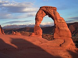
Arches National Park is a national park of the United States in eastern Utah. The park is adjacent to the Colorado River, 4 mi (6 km) north of Moab, Utah. The park contains more than 2,000 natural sandstone arches, including the well-known Delicate Arch, which constitute the highest density of natural arches in the world. It also contains a variety of other unique geological resources and formations. The national park lies above an underground evaporite layer or salt bed, which is the main cause of the formation of the arches, spires, balanced rocks, sandstone fins, and eroded monoliths in the area.
Read more on WikipediaPhoto: Palacemusic · CC BY-SA 3.0
- The arch and the bowl
End of the ledge → Delicate Arch
Sloping rock rim above a natural bowl
The ledge ends and the arch simply appears — about 16 m of freestanding sandstone on the far rim of a smooth bowl of rock, the La Sal Mountains beyond it. Find a spot on the rim; the bowl itself is steep and slick. Stay as long as your water allows.
- Back down the slickrock
Delicate Arch → Wolfe Ranch trailhead
Ledge, then descending bare rock and gravel
Retrace the ledge and pick your way back down the slab, which is harder on the knees and easier to lose than the way up — keep spotting the cairns. If you stayed for sunset you will want a headlamp for this. About 45 minutes.
About this place
The Entrada Sandstone is a formation in the San Rafael Group found in the U.S. states of Wyoming, Colorado, northwest New Mexico, northeast Arizona, and southeast Utah. Part of the Colorado Plateau, this formation was deposited during the Jurassic Period sometime between 180 and 140 million years ago in various environments, including tidal mudflats, beaches, and sand dunes. The Middle Jurassic San Rafael Group was dominantly deposited as ergs in a desert environment around the shallow Sundance Sea.
Read more on WikipediaPhoto: Carpenter, Kenneth · CC BY-SA 4.0
Comments
Sign in to join the conversation.
No comments yet — be the first.