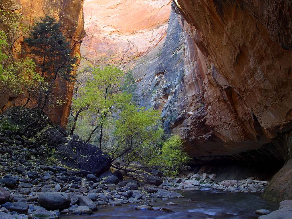
The complete bottom-up day hike: an easy paved approach, then a slow upstream wade into the narrowest, deepest part of the canyon and back the same way.
Segments
-
 The Riverside Walk
Temple of Sinawava shuttle stop → Gateway to the Narrows
Paved riverside path
Follow the flat paved Riverside Walk along the Virgin River to the point where the pavement ends and the river becomes the trail. About 30 minutes each way.
About this place
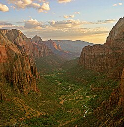
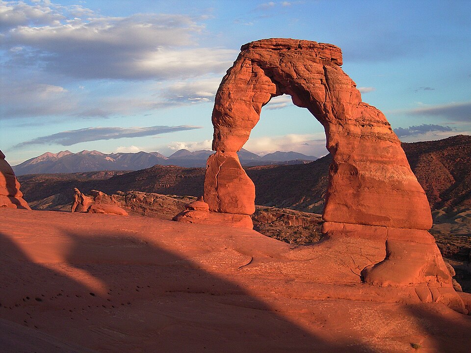
Zion National Park is a national park of the United States located in southwestern Utah near the town of Springdale. Located at the junction of the Colorado Plateau, Great Basin, and Mojave Desert regions, the park has a unique geography and a variety of life zones that allow for unusual plant and animal diversity. Numerous plant species as well as 289 species of birds, 75 mammals, and 32 reptiles inhabit the park's four life zones: desert, riparian, woodland, and coniferous forest. Zion National Park includes mountains, canyons, buttes, mesas, monoliths, rivers, slot canyons, and natural arches. The lowest point in the park is 3,666 ft (1,117 m) at Coalpits Wash and the highest peak is 8,726 ft (2,660 m) at Horse Ranch Mountain. A prominent feature of the 229-square-mile (590 km2) park is Zion Canyon, which is 15 miles (24 km) long and up to 2,640 ft (800 m) deep. The canyon walls are reddish and tan-colored Navajo Sandstone eroded by the North Fork of the Virgin River. The park attracted 4,984,525 visitors in 2025.
Read more on Wikipedia Photo: Diliff · CC BY-SA 3.0 -
 Into the river to Orderville Canyon
Gateway to the Narrows → Orderville Canyon junction
River wade over cobbles
Step into the Virgin River and wade upstream between rising walls, passing Mystery Falls, to the mouth of Orderville Canyon — a popular turnaround for shorter days. About 1.5 hours.
About this place
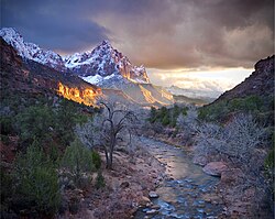
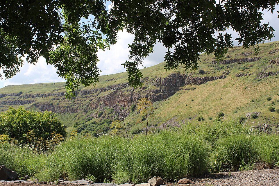
The Virgin River is a tributary of the Colorado River in the U.S. states of Utah, Nevada, and Arizona. The river is about 162 miles (261 km) long. It was designated Utah's first wild and scenic river in 2009, during the centennial celebration of Zion National Park.
Read more on Wikipedia Photo: Photo by Douglas Dietiker · CC BY-SA 2.0 - Wall Street to Big Spring
Orderville Canyon junction → Big Spring
Deep slot canyon, deeper wading
Continue into Wall Street, where the sheer cliffs soar hundreds of metres and the canyon narrows to its most dramatic, wading deeper to Big Spring — the mandatory turnaround for day hikers. About 2 hours.
- Return downstream
Big Spring → Temple of Sinawava
Downstream wade and paved path
Turn around and wade back down the river the way you came, the current now at your back, to the Riverside Walk and the shuttle stop. About 2.5–3 hours.
About this place
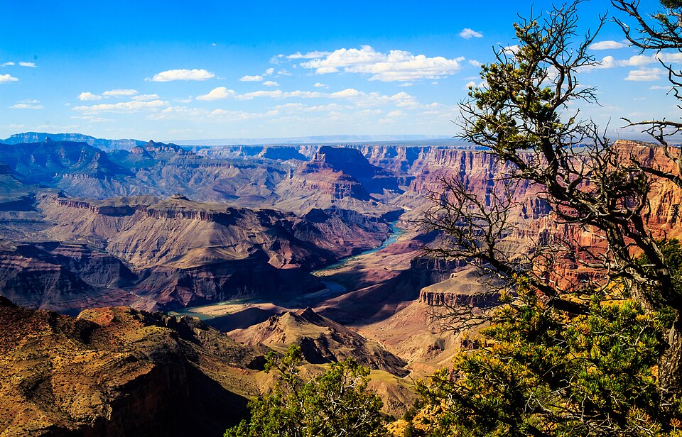
The Virgin River is a tributary of the Colorado River in the U.S. states of Utah, Nevada, and Arizona. The river is about 162 miles (261 km) long. It was designated Utah's first wild and scenic river in 2009, during the centennial celebration of Zion National Park.
Read more on Wikipedia Photo: Photo by Douglas Dietiker · CC BY-SA 2.0
Comments
Sign in to join the conversation.
No comments yet — be the first.