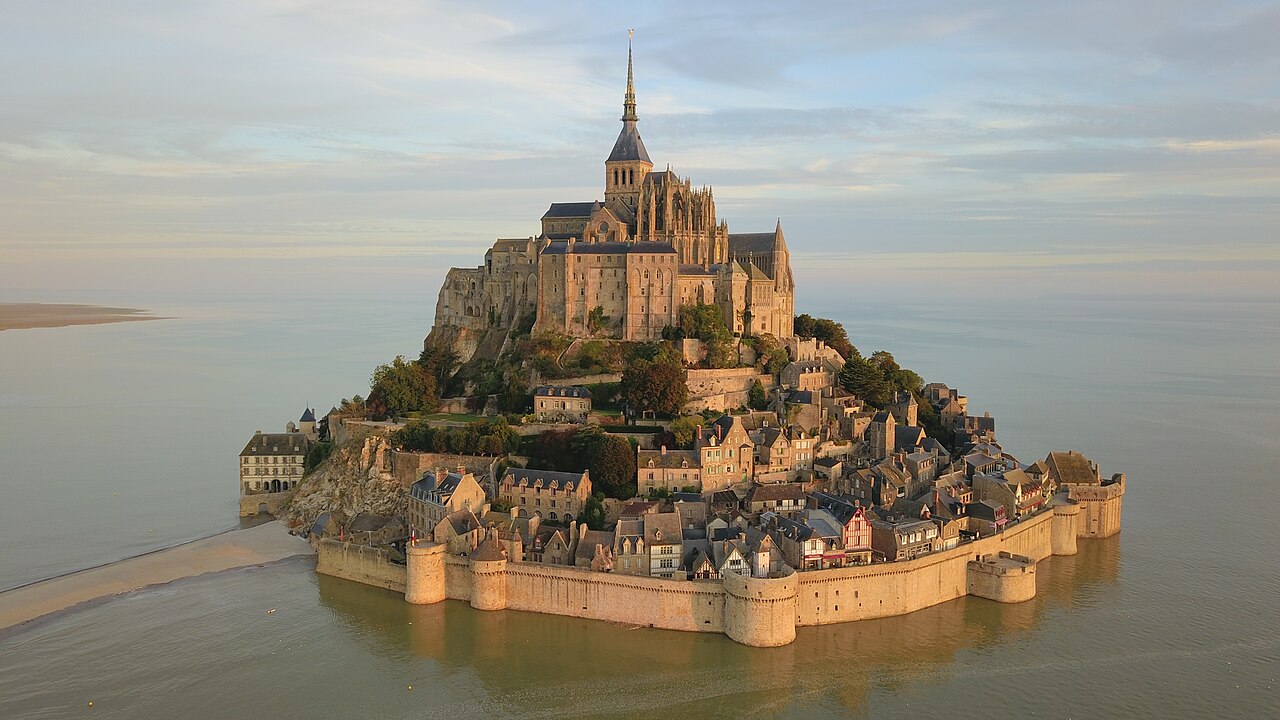
A compact circuit that takes in the approach across the tidal flats, the medieval main street, the walls, and the abbey that crowns the rock.
Segments
- Across the causeway
Visitor centre → Porte de l'Avancée (main gate)
Flat causeway bridge over the bay
Walk the causeway bridge across the tidal flats, with the silhouette of the mount growing ahead, to the Porte de l'Avancée — the fortified main gate into the walled town. About 40 minutes on foot, or take the free shuttle.
- Up the Grande Rue
Porte de l'Avancée → Foot of the abbey steps
Narrow cobbled, stepped street
Climb the Grande Rue, the single narrow medieval street that winds up through the village past timber-framed houses, shops and the parish church of Saint-Pierre — the same route pilgrims have followed for centuries.
- The ramparts
Grande Rue → Ramparts walk
Stone walls and towers
Step off the crowded street onto the ramparts, the fortified walls that repelled the English through the Hundred Years' War, for sweeping views over the bay and the fast-moving tides below.
-
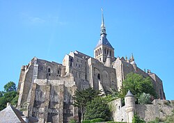 The Grand Degré to the abbey
Foot of the abbey steps → Abbey entrance
Long stone staircase
Climb the Grand Degré, the steep stair that lifts you the last stretch to the abbey gate at the summit of the rock.
About this place
The Mont-Saint-Michel Abbey is an abbey located within the city and island of Mont-Saint-Michel in Normandy, in the department of Manche. Now owned and operated as a French national monument, religious services still occur and occasionally monks are invited to take up residence.
Read more on Wikipedia Photo: Ikmo-ned · CC BY-SA 3.0 - Inside the abbey
Abbey entrance → Cloister and abbey church
Abbey halls and terraces
Tour the Benedictine abbey crowning the mount — the abbey church on its terrace, the airy Gothic 'Merveille', and the cloister suspended between sky and sea — the reward at the top of the climb.
About this place
The Mont-Saint-Michel Abbey is an abbey located within the city and island of Mont-Saint-Michel in Normandy, in the department of Manche. Now owned and operated as a French national monument, religious services still occur and occasionally monks are invited to take up residence.
Read more on Wikipedia Photo: Ikmo-ned · CC BY-SA 3.0

Comments
Sign in to join the conversation.
No comments yet — be the first.