
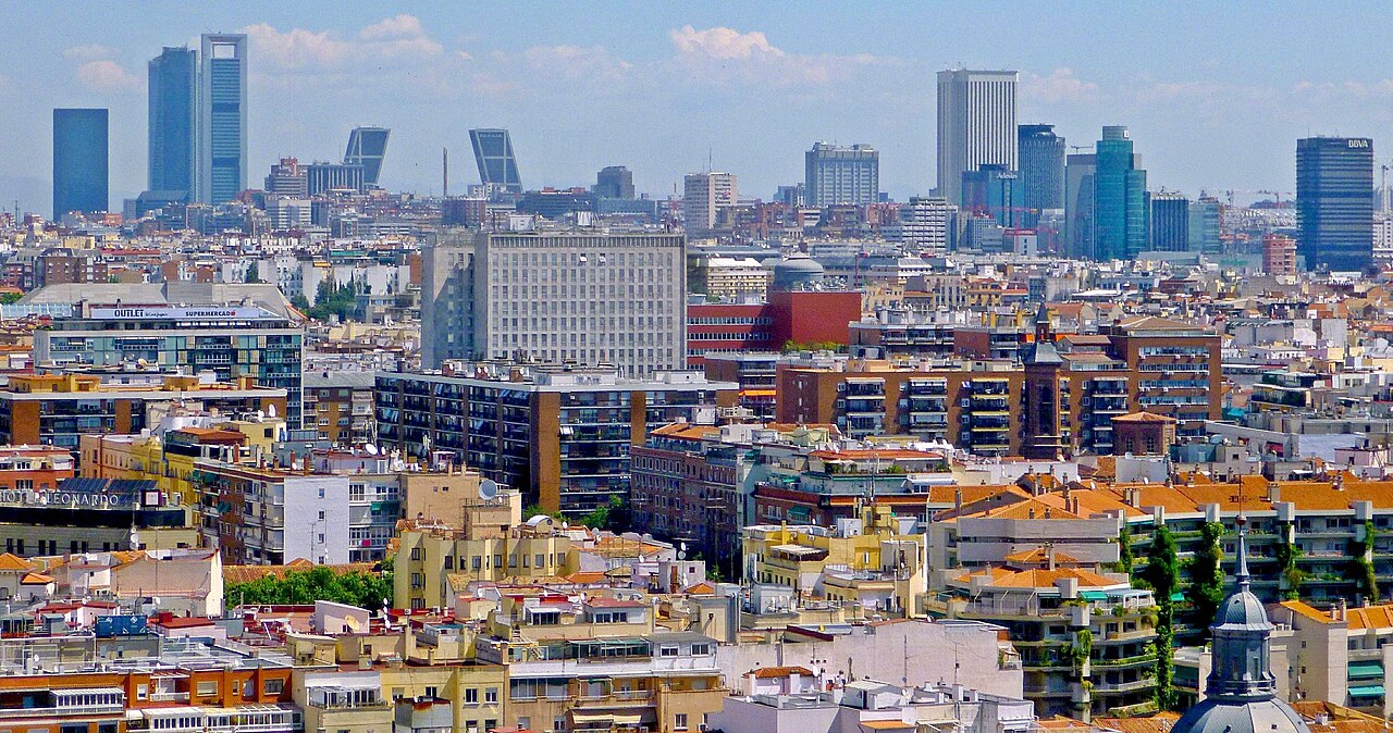
A single line from the Royal Palace through the Habsburg squares and the literary quarter to the Prado and the Retiro park.
Drinking water
- Water
- Drinking water 200 m from stop 1
- Drinking water 80 m from stop 2
- Drinking water 100 m from stop 3
- Drinking water 300 m from stop 4
- Drinking water 130 m from stop 5
Places mapped by volunteers on OpenStreetMap; opening times and taps change, so check before relying on one. © OpenStreetMap contributors
Segments
-
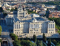 The Royal Palace
Ópera metro station → Royal Palace of Madrid
City streets
Start at the official residence of the Spanish royal family, used today mainly for state ceremonies. With over 135,000 m² of floor space and around 3,400 rooms it is the largest royal palace in Europe. Walk the state rooms, then step out onto the Plaza de Oriente for the view west over the Casa de Campo. Allow about 90 minutes.
About this place
The Royal Palace of Madrid is the official residence of the Spanish royal family and is used primarily for state ceremonies. With over 135,000 m2 (1,450,000 sq ft) of floor space and 3,418 rooms, the Royal Palace of Madrid is the largest palace in Western Europe, the largest royal palace in Europe, and among the largest palaces in the world.
Read more on Wikipedia Photo: Tim Adams · CC BY-SA 4.0 -
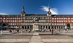 Plaza Mayor
Royal Palace of Madrid → Plaza Mayor
City streets
Cut east through the old Habsburg quarter to Madrid's principal public square, built between 1580 and 1619 under Philip III. The enclosed, arcaded rectangle was the stage for markets, proclamations, bullfights and executions. Enter through one of the nine gateways and cross it on the diagonal. About 30 minutes.
About this place
The Plaza Mayor is the principal public square in the heart of Madrid, the capital of Spain. It was once the centre of Old Madrid. It was first built (1580–1619) during the reign of Philip III. Only a few blocks away is another famous plaza, the Puerta del Sol.
Read more on Wikipedia Photo: Jorge Franganillo · CC BY 2.0 -
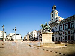 Puerta del Sol
Plaza Mayor → Puerta del Sol
City streets
A few blocks on lies the busiest square in the city and the centre of Spain's radial road network — distances nationwide are measured from here. Look for the clock whose bells mark the eating of the twelve grapes at New Year, broadcast live since 1962, and the bear-and-strawberry-tree statue that is the city's emblem. About 20 minutes.
About this place
The Puerta del Sol is a public square in Madrid, one of the best known and busiest places in the city. This is the centre of the radial network of Spanish roads. The square also contains the famous clock whose bells mark the traditional eating of the Twelve Grapes and the beginning of a new year. The New Year's celebration has been broadcast live since 31 December 1962 on major radio and television networks including Atresmedia and RTVE.
Read more on Wikipedia Photo: Matt Joseph · CC BY-SA 4.0 -
 Barrio de las Letras
Puerta del Sol → Plaza de Santa Ana
City streets, some gentle slope
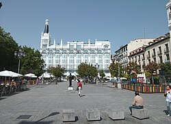
Drop south into the literary quarter, where the writers of the Spanish Golden Age lived within a few streets of one another and their lines are set into the paving underfoot. Plaza de Santa Ana is its living room, ringed by terraces and watched over by monuments to Calderón de la Barca and García Lorca. A good place to stop for tapas. About 60 minutes.
About this place
Plaza de Santa Ana is a plaza located in central Madrid, Spain, nearby Puerta del Sol and Calle de Huertas, in the Barrio de las Letras. It features monuments to Spanish Golden Age writer Pedro Calderón de la Barca and to the poet and playwright Federico García Lorca and numerous restaurants, cafes, and tapas bars, with its terraces covering most of the sides surfaces.
Read more on Wikipedia Photo: Luis García (Zaqarbal) · CC BY-SA 3.0 -
 Museo del Prado
Plaza de Santa Ana → Museo del Prado
City streets, gentle uphill
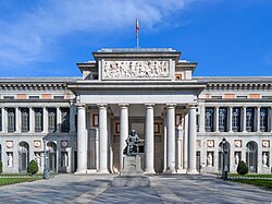
Climb the Calle de Huertas to the tree-lined Paseo del Prado and Spain's national art museum, founded in 1819 around the former royal collection. Goya is the most extensively represented artist here, alongside Velázquez, El Greco, Bosch, Titian and Rubens. Two hours is a bare minimum; three is better.
About this place
The Museo del Prado, officially known as Museo Nacional del Prado, is the main Spanish national art museum, located in central Madrid. It houses collections of European art, dating from the 12th century to the early 20th century, based on the former Spanish royal collection, and is the single best collection of Spanish art. Founded as a museum of paintings and sculpture in 1819, it also contains important collections of other types of works. The numerous works by Francisco Goya, the single most extensively represented artist, as well as by Hieronymus Bosch, El Greco, Peter Paul Rubens, Titian, and Diego Velázquez, are some of the highlights of the collection. Velázquez and his keen eye and sensibility were also responsible for bringing much of the museum's fine collection of Italian masters to Spain, now one of the largest outside of Italy.
Read more on Wikipedia Photo: Emilio J. Rodríguez Posada · CC BY-SA 2.0 -
 Retiro Park
Museo del Prado → Retiro Park
Park paths and gravel avenues
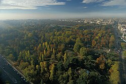
Finish next door in the Retiro, a former royal garden that belonged to the monarchy until 1868 and covers about 1.4 km². Row a boat on the artificial lake, find the glass Crystal Palace among the trees, then leave through the Alcalá Gate. Since 2021 the park has been part of a UNESCO World Heritage Site together with the Paseo del Prado. About 90 minutes at a wandering pace.
About this place
The Retiro Park, also known as Buen Retiro Park or simply El Retiro, is one of the largest city parks in Madrid, Spain. The park belonged to the Spanish monarchy until 1868, when it became a public park following the Glorious Revolution. The park is located at the edge of the city centre, near both the Alcalá Gate and the Museo del Prado, and covers 1.4 km2. It has gardens, monuments, galleries, an artificial lake, and event-hosting venues. In 2021, Buen Retiro Park became part of a combined UNESCO World Heritage Site that also includes Paseo del Prado.
Read more on Wikipedia Photo: Max Alexander / PromoMadrid · CC BY-SA 2.0
Comments
Sign in to join the conversation.
No comments yet — be the first.