
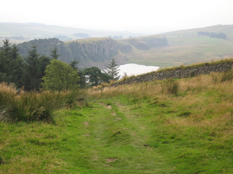
A gradual climb out of the North Tyne valley onto the Whin Sill, then the trail’s most dramatic miles along the crag tops.
Water and food
- Water
- None found near the stops. Carry enough for the day.
Places mapped by volunteers on OpenStreetMap; opening times and taps change, so check before relying on one. © OpenStreetMap contributors
Ways off
- Bus stop Housesteads
- Bus stop High Shield
No way off mapped for 11.9 km (as the crow flies) between stop 1 and stop 2.
Mountain lifts and buses often run in summer only. Check the timetable before you rely on one. Places mapped by volunteers on OpenStreetMap; opening times and taps change, so check before relying on one. © OpenStreetMap contributors
Segments
-
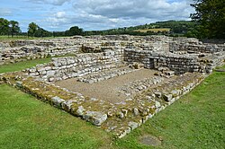 Chesters Roman Fort and the climb west
Chollerford → Sewingshields Crags
Farmland and moorland track
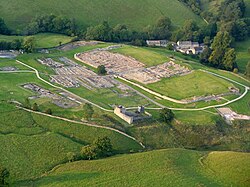
Start beside the North Tyne at Chollerford, where Chesters — the Roman fort of Cilurnum — guarded the river crossing and preserves the best-surviving Roman bath house in Britain. Head west across pasture, climbing steadily until the ground tilts up and the first crags appear. About 3 hours.
About this place
Cilurnum or Cilurvum was an ancient Roman fort on Hadrian's Wall at Chesters near the village of Walwick, Northumberland. It is also known as Walwick Chesters to distinguish it from Great Chesters fort and Halton Chesters.
Read more on Wikipedia Photo: Carole Raddato from FRANKFURT, Germany · CC BY-SA 2.0 -
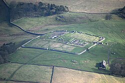 Sewingshields to Housesteads
Sewingshields Crags → Housesteads Roman Fort
Crag-top path beside the Wall
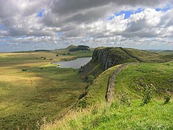
Walk the crag edge with the whole of Northumberland opening out to the north to Housesteads, the most substantial Roman fort on the Wall, set spectacularly on the end of a mile-long crag. Its granaries, barracks and famous latrines are all still legible in the stone.
About this place
Housesteads Roman Fort was an auxiliary fort on Hadrian's Wall, at Housesteads, Northumberland, England. It is dramatically positioned on the end of the 1-mile (1.6 km)-long crag of the Whin Sill over which the Wall runs, overlooking sparsely populated hills.
Read more on Wikipedia Photo: Lieven Smits · CC BY-SA 4.0 -
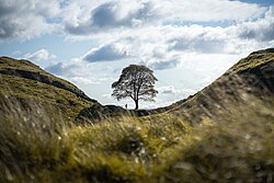 Sycamore Gap and Crag Lough
Housesteads → Steel Rigg
Steep switchbacks between crags
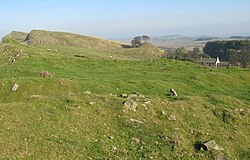
The signature miles. Drop into Sycamore Gap — the glacial notch where a well-known sycamore stood for around a century until it was illegally felled in 2023 — then climb past the cliffs above Crag Lough, where the Wall needed no help from the Romans at all, to the car park at Steel Rigg. About 2 hours.
About this place
The Sycamore Gap tree, also known as the Robin Hood tree, is a 150-year-old sycamore tree next to Hadrian's Wall near Crag Lough in Northumberland, England. It now exists only as a stump, having been illegally felled in 2023 by Daniel Graham and Adam Carruthers, but has since sprouted a thick ring of shoots. Standing in a dip in the landscape created by glacial meltwater, it was one of the country's most photographed trees and an emblem for the North East of England. Its alternative name is derived from featuring in a scene in the 1991 film Robin Hood: Prince of Thieves. The tree won the Woodland Trust 2016 England Tree of the Year award, receiving a £1,000 care grant funded by the People's Postcode Lottery.
Read more on Wikipedia Photo: Clementp.fr · CC BY-SA 4.0
Comments
Sign in to join the conversation.
No comments yet — be the first.