
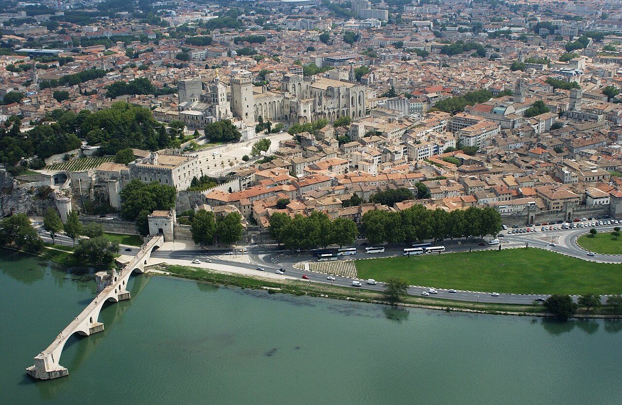
Five stops: the papal palace, the broken bridge, the ramparts and old town, and then the Roman aqueduct out in the Gard.
Drinking water
- Water
- Drinking water 70 m from stop 1
- Drinking water 60 m from stop 2
- Drinking water 90 m from stop 2
- Drinking water 140 m from stop 3
- Drinking water 200 m from stop 4
Places mapped by volunteers on OpenStreetMap; opening times and taps change, so check before relying on one. © OpenStreetMap contributors
Segments
-
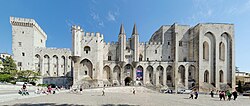 Palais des Papes
Avignon Centre station → Place du Palais
City streets
Walk up through the old town to the palace that ran Western Christianity for most of the 14th century — one of the largest and most important medieval Gothic buildings in Europe, part fortress and part papal residence. Six papal conclaves were held inside these walls. The scale is the point: vast bare halls, chapels the size of churches, and almost no furniture to soften them. Allow about two hours.
About this place
The Palais des Papes in Avignon, Southern France, is one of the largest and most important medieval Gothic buildings in Europe. Once a fortress and palace, the papal residence was a seat of Western Christianity during the 14th century. Six papal conclaves were held in the Palais, leading to the elections of Benedict XII in 1334, Clement VI in 1342, Innocent VI in 1352, Urban V in 1362, Gregory XI in 1370 and Benedict XIII in 1394. In 1995, the Palais des Papes was classified as a UNESCO World Heritage Site for its outstanding architecture and historical importance for the papacy.
Read more on Wikipedia Photo: François de Dijon · CC BY-SA 3.0 - Rocher des Doms
Place du Palais → Rocher des Doms gardens
Garden paths, some steps
A short climb behind the palace to the rocky outcrop where Avignon began. The gardens on top give the clearest view you will get of the Rhône, the broken bridge below, and the fort of Villeneuve-lès-Avignon on the far bank. The best orientation stop of the day, and about 20 minutes well spent.
-
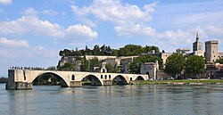 Pont Saint-Bénézet
Rocher des Doms → Pont Saint-Bénézet
City streets and bridge deck
Down to the famous bridge that goes nowhere. Built in the medieval period across the Rhône and repeatedly wrecked by the river's floods, it was eventually abandoned — only four arches survive of the many it once had. You walk out onto the stump, stop where the stonework stops, and look at the water that won. The chapel of Saint Nicholas sits on one of the surviving piers. About 45 minutes.
About this place
The Pont Saint-Bénézet, also known as the Pont d'Avignon, was a medieval bridge across the Rhône in the town of Avignon, in southern France. Only four arches survive.
Read more on Wikipedia Photo: Henk Monster · CC BY 3.0 -
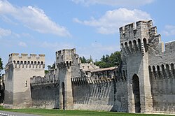 The ramparts & the old town
Pont Saint-Bénézet → Place de l'Horloge
City streets, flat
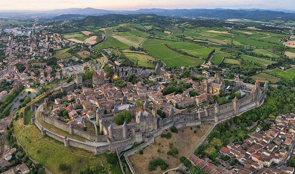
Trace the medieval walls that still ring the whole old town — built in the 14th century during the Avignon papacy and rebuilt and repaired many times since. Then cut back inward through the lanes: Place de l'Horloge with its cafés, the covered market at Les Halles if it is still morning, and the quiet streets of the Quartier de la Balance. Roughly an hour and a half, more if you eat.
About this place
The walls of Avignon are a series of defensive stone walls that surround the city of Avignon in the south of France. They were built in the 14th century during the Avignon papacy and have been continually rebuilt and repaired throughout their subsequent history.
Read more on Wikipedia Photo: Henk Monster · CC BY 3.0 -
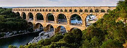 Out to the Pont du Gard
Avignon → Pont du Gard
Riverside paths and gravel; bus or car to reach the site
Leave the city — this stop is about 25 km away and needs a bus or car, not your feet. What waits is an ancient Roman aqueduct bridge, built in the first century AD to carry water more than 50 km to the Roman colony at Nîmes, crossing the river Gardon in three tiers of honey-coloured arches. It is one of the best-preserved Roman aqueduct bridges anywhere. Walk the riverbank on both sides for the views the postcards use, and give it about two hours.
About this place
The Pont du Gard is an ancient Roman aqueduct bridge built in the first century AD to carry water over 50 km (31 mi) to the Roman colony of Nemausus (Nîmes). It crosses the river Gardon near the town of Vers-Pont-du-Gard in southern France. The Pont du Gard is one of the best preserved Roman aqueduct bridges. It was added to UNESCO's list of World Heritage sites in 1985 because of its exceptional preservation, historical importance, and architectural ingenuity.
Read more on Wikipedia Photo: Benh LIEU SONG (Flickr) · CC BY-SA 3.0

Comments
Sign in to join the conversation.
No comments yet — be the first.