
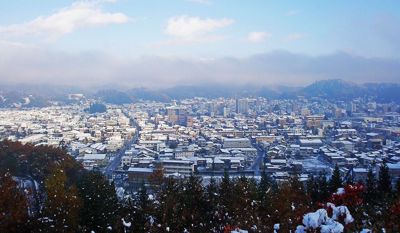
An early start at the riverside stalls, a slow wander through the preserved lanes, the Edo government house and the festival floats, then a loop up through temples and the old castle hill.
Drinking water
No public drinking water mapped near this walk’s stops.
Places mapped by volunteers on OpenStreetMap; opening times and taps change, so check before relying on one. © OpenStreetMap contributors
Segments
- Miyagawa morning market
Takayama Station → Miyagawa riverbank
Town streets and riverside promenade
Stalls line the east bank of the Miyagawa river from about seven in the morning — earlier in summer, later in winter — selling mountain vegetables, pickles, flowers, crafts and hot snacks. It winds down by mid-morning, so come first. A second, smaller market sets up in front of Takayama Jin'ya.
- Sanmachi Suji
Miyagawa riverbank → Sanmachi old town
Preserved lattice-fronted lanes
Three narrow lanes of dark wooden merchant houses, latticed fronts and low eaves — the best-preserved Edo townscape in the mountains. Sake breweries hang cedar balls above their doors when the new brew is ready, and several old houses are open as small museums.
-
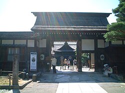 Takayama Jin'ya
Sanmachi old town → Takayama Jin'ya
Town streets
The last surviving jin'ya in Japan — the local government house from which the shogunate administered Hida Province from 1692 until the Meiji Restoration, and which stayed in official use until 1969. Tatami offices, an interrogation room, and vast rice storehouses out the back.
About this place
The Takayama Jin'ya (高山陣屋) is a surviving Edo period jin'ya which served as the Daikansho for Hida Province under the Tokugawa shogunate of Japan from 1692 to 1871. It is located in what is now Hachiken-machi of the city of Takayama in Gifu Prefecture. It has been protected as a National Historic Site since 1929.
Read more on Wikipedia Photo: K.F. · CC BY 2.5 - Sake breweries and merchant houses
Takayama Jin'ya → Kami-Sannomachi
Town lanes
Loop back through the quarter at a slower pace. Takayama's cold water and mountain rice made it a brewing town, and a handful of breweries still work the old lanes, pouring tastings for a small fee. Try mitarashi dango grilled over charcoal at a street stall.
-
 The festival float halls
Kami-Sannomachi → Takayama Yatai Kaikan
Town streets, north across the river
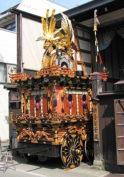
The town's two festivals — Sannō Matsuri in April, Yahata Matsuri in October — parade tall gilded floats with mechanical karakuri puppets. Between festivals a rotating handful are displayed here, close enough to see the lacquer and ironwork properly.
About this place
The Takayama Festivals in Takayama in Japan started in the 16th to 17th century. The festivals are believed to have been started during the rule of the Kanamori family. Correspondence dated 1692 place the origin to 40 years prior to that date. One of the festivals is held on 14 and 15 April and the other on 9 and 10 October.
Read more on Wikipedia Photo: Bernard Gagnon · CC BY-SA 3.0 - Higashiyama walking course
Takayama Yatai Kaikan → Shiroyama Park
Temple lanes, steps and wooded hill paths
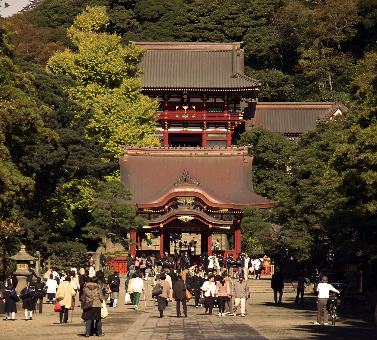
A signposted loop of roughly three and a half kilometres linking the temples and shrines along the eastern hills, laid out in imitation of Kyoto's own Higashiyama. It climbs through quiet neighbourhoods to Shiroyama Park on the wooded hill where Takayama's castle once stood.
Comments
Sign in to join the conversation.
No comments yet — be the first.