
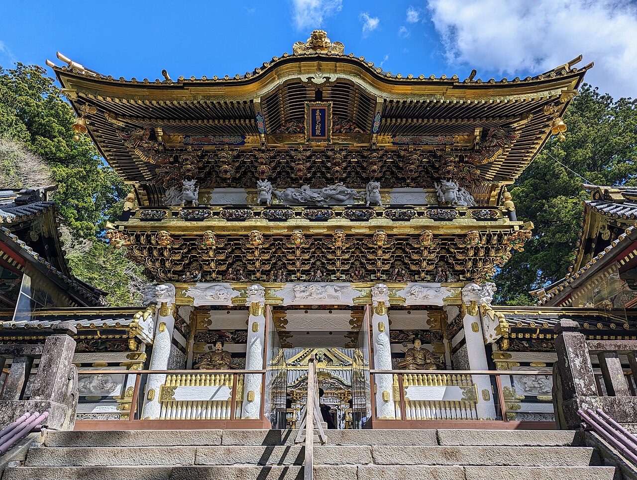
From a lacquered bridge at the river, up through temple and shrine grounds under old cedars, then a climb by road to a waterfall and the lake that feeds it.
Drinking water
No public drinking water mapped near this walk’s stops.
Places mapped by volunteers on OpenStreetMap; opening times and taps change, so check before relying on one. © OpenStreetMap contributors
Segments
- Shinkyō bridge
Nikkō station bus stop → Shinkyō bridge
Town road and riverside
The vermilion "sacred bridge" arcs over the Daiya River and marks the boundary between the town and the shrine precinct. In feudal times only the shogun was permitted to cross it; today a small fee buys you the walk across, though the view from the bank is free.
-
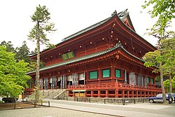 Rinnō-ji
Shinkyō bridge → Rinnō-ji
Stone steps and temple approach
A Tendai Buddhist temple whose founding is credited to Shōdō Shōnin, the monk who brought Buddhism to Nikkō in the 8th century. Its main hall holds three large gilded Buddha figures, and the Shōyō-en garden beside it is usually far quieter than the shrines uphill.
About this place
Rinnō-ji (輪王寺) is a Tendai Buddhist temple in the city of Nikkō, Tochigi Prefecture, Japan.
Read more on Wikipedia Photo: Wikimedia Commons · Public domain -
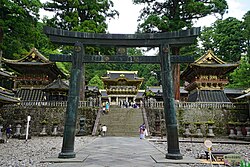 Nikkō Tōshō-gū
Rinnō-ji → Nikkō Tōshō-gū
Cedar avenue and long stone stairways
The mausoleum of Tokugawa Ieyasu, founder of the shogunate, and the most extravagantly decorated shrine in the country. The Yōmeimon gate alone carries some four hundred carvings. Look for the small sleeping cat, the nemuri-neko, above a side corridor, and the three wise monkeys on the sacred stable. A long flight of steps behind the shrine climbs to Ieyasu's tomb. Allow about two hours.
About this place
Nikkō Tōshō-gū (日光東照宮) is a Tōshō-gū Shinto shrine located in Nikkō, Tochigi Prefecture, Japan.
Read more on Wikipedia Photo: 663highland · CC BY-SA 4.0 -
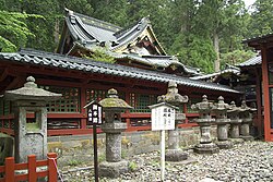 Futarasan shrine
Nikkō Tōshō-gū → Futarasan shrine
Forest path between precincts
Older and much plainer than its neighbour, Futarasan dates back to 782, and its existing main structure — built in 1617 — is the oldest building in Nikkō. The shrine is bound up with the mountains north of town, including Nantai, and its main festival runs each April.
About this place
Futarasan jinja (二荒山神社) is a Shinto shrine in the city of Nikkō, Tochigi Prefecture, Japan. It is also known as Nikkō Futarasan Shrine, to distinguish it from the Utsunomiya Futarayama Jinja, which shares the same kanji in its name. Both shrines claim the title of ichinomiya of the former Shimotsuke Province. The main festival of the shrine is held annually from April 13 to April 17.
Read more on Wikipedia Photo: No machine-readable author provided. Fg2 assumed (based on copyright claims). · Public domain -
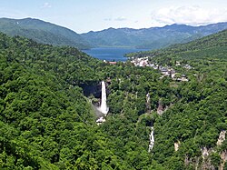 Kegon Falls
Nikkō shrine area → Kegon Falls observation deck
Bus ride, then paved deck paths
Take the bus up the hairpin Irohazaka road into Nikkō National Park. Kegon is reckoned one of Japan's three great waterfalls: the main drop is about 97 metres, with roughly a dozen smaller falls leaking through cracks between the mountain and the old lava flows behind it. A paid elevator drops to a lower deck at the plunge pool.
About this place
Kegon Falls is located at Lake Chūzenji in Nikkō National Park near the city of Nikkō, Tochigi Prefecture, Japan. The falls were formed when the Daiya River was rerouted by lava flows. The main falls had a height of approximately 97 metres (318 ft) and about twelve smaller waterfalls are situated behind and to the sides of Kegon Falls, leaking through the many cracks between the mountain and the lava flows.
Read more on Wikipedia Photo: Uraomote yamaneko · CC BY-SA 3.0 -
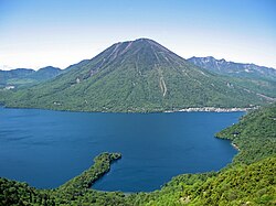 Lake Chūzenji
Kegon Falls → Chūzenji lakeshore
Lakeside promenade
The lake that feeds the falls, formed about twenty thousand years ago when an eruption of Mount Nantai dammed the river. Sightseeing boats cross it in season. It sits high in the mountains and is markedly colder than the town below — the reason the shoreline empties out in winter.
About this place
Lake Chūzenji , also called Sea of Happiness, is a scenic lake in Nikkō National Park in the city of Nikkō, Tochigi Prefecture, Japan. It was created 20,000 years ago when Mount Nantai (2484 m) erupted and blocked the river.
Read more on Wikipedia Photo: Uraomote yamaneko · CC BY-SA 3.0
Comments
Sign in to join the conversation.
No comments yet — be the first.