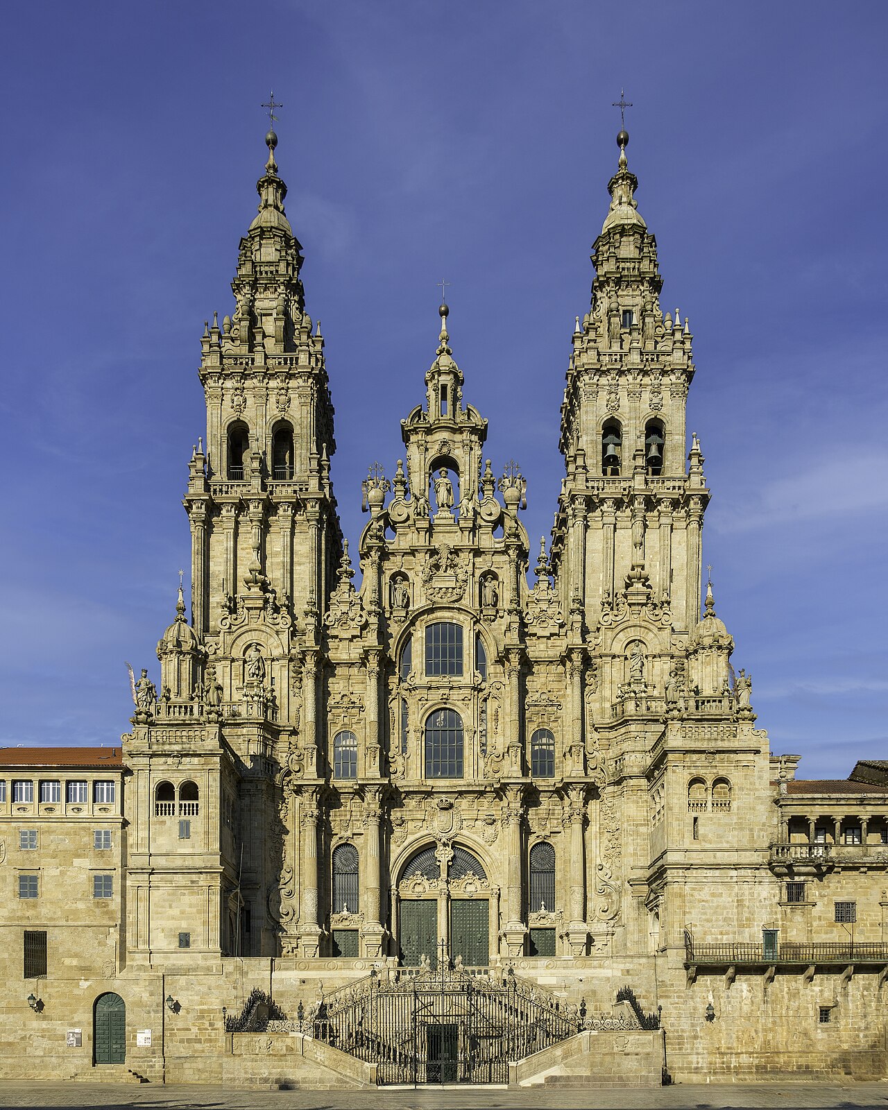
A long, flat first day on the Senda Litoral, trading Porto’s industrial edge for open sea almost immediately.
Segments
-
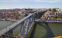 Down the Douro to Matosinhos
Porto Cathedral → Matosinhos
City streets, then riverside boardwalk
Both branches of the Camino leave Porto through an unenticing belt of industry and asphalt, which is why almost everyone takes the Senda Litoral instead — a wooden boardwalk that runs down the Douro to the river mouth and then turns north along the sea. Matosinhos is a working port town that takes its grilled fish seriously. About 3 hours.
About this place
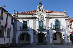
Porto, also known in English as Oporto, is the second largest city in Portugal, after Lisbon. It is the capital of the Porto District and one of the Iberian Peninsula's major urban areas. Porto city proper, which is the entire municipality of Porto, is small compared to its metropolitan area, with an estimated population of 273,476 people in a municipal area of 41.42 km2 (16 sq mi). As of 2025, the Porto metropolitan area has around 1.9 million people in an area of 2,395 km2 (925 sq mi), making it the second-largest urban area in Portugal. It is recognized as a global city with a Gamma + rating from the Globalization and World Cities Research Network.
Read more on Wikipedia Photo: Diego Delso · CC BY-SA 3.0 -
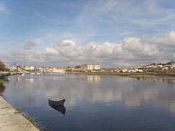 The Atlantic shore to Vila do Conde
Matosinhos → Vila do Conde
Boardwalk, beach and coastal lanes
Boardwalk and sand most of the way, with the surf on your left and very little between you and it. Vila do Conde has been building ships for centuries and still shows it, under a long aqueduct running into town. It is also a junction — you can cut inland here to pick up the Central Route if the weather turns. About 4 hours.
About this place
Vila do Conde is a municipality in the Norte Region of Portugal. The population in 2011 was 79,533, in an area of 149.03 km2. The urbanized area of Vila do Conde, which includes the parishes of Vila do Conde, Azurara and Árvore, represent 36,137 inhabitants. Vila do Conde is interlinked to the north with Póvoa de Varzim, forming a single urban agglomeration which is a part of the Porto Metropolitan Area. The town is on the Portuguese Way of the Camino de Santiago.
Read more on Wikipedia Photo: PedroPVZ · CC BY-SA 3.0
Comments
Sign in to join the conversation.
No comments yet — be the first.