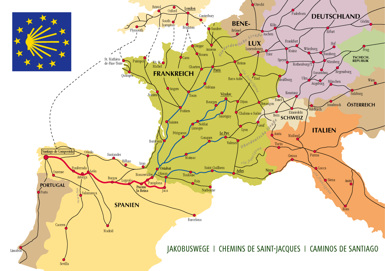
A big mountain crossing on the Route de Napoléon, climbing more than 1,200 m to the Col de Lepoeder before dropping through beech woods to the monastery village of Roncesvalles.
Segments
-
 Climb to Orisson
Saint-Jean-Pied-de-Port → Refuge Orisson
Steep mountain road
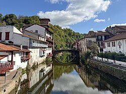
Leave the walled Basque town through the Porte d'Espagne and climb hard on a narrow paved road, with the valley falling away behind you and the first big views of the Pyrenees ahead. About 2.5 hours to the last refuge before the border.
About this place
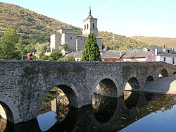
Saint-Jean-Pied-de-Port is a commune in the Pyrénées-Atlantiques department in south-western France. It is close to Ostabat in the Pyrenean foothills. The town is the old capital of the traditional Basque province of Lower Navarre. Saint-Jean-Pied-de-Port is the second most popular starting point of the French Way. It is a member of Les Plus Beaux Villages de France Association.
Read more on Wikipedia Photo: Hayden Soloviev · CC BY 4.0 -
 Over the high pass
Refuge Orisson → Col de Lepoeder
Open high mountain, grassland
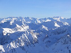
Continue up open grazing land past the wayside statue of the Virgin of Orisson and the Cruz de Thibault, crossing into Spain at the Col de Lepoeder at about 1,450 m — the roof of the day. Around 3 hours; exposed to weather, with no shelter.
About this place
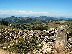
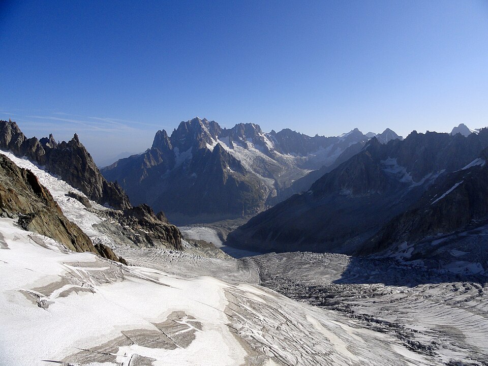
The Pyrenees is a mountain range in southwestern Europe, straddling the France–Spain border. The Pyrenees extend nearly 500 kilometres (310 mi) from their union with the Cantabrian Mountains to Cap de Creus on the Mediterranean coast, reaching a maximum elevation of 3,404 metres (11,168 ft) at the peak of Aneto, in Huesca, Spain.
Read more on Wikipedia Photo: The original uploader was Nhamblen at English Wikipedia. · CC BY-SA 3.0 -
 Descent to Roncesvalles
Col de Lepoeder → Roncesvalles
Steep beech-forest path
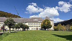
Drop steeply through ancient beech forest to the great Augustinian monastery at Roncesvalles, gateway of the Camino in Spain and site of the legendary battle of 778. About 1.5 hours down.
About this place
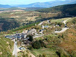
Roncesvalles is a small village and municipality in Navarre, northern Spain. It is situated on the small river Urrobi at an altitude of some 900 metres (3,000 ft) in the Pyrenees, about 4 kilometres (2.5 mi) from the French border as the crow flies, or 21 kilometres (13 mi) by road.
Read more on Wikipedia Photo: Hayden Soloviev · CC BY 4.0
Comments
Sign in to join the conversation.
No comments yet — be the first.