← All routes
Trek Wakayama Prefecture — Kii Peninsula, Japan

The Kumano Kodō Nakahechi — Takijiri-oji to Hongū Taisha

Four days on Japan's imperial pilgrimage road, over forested passes and through mountain villages, from the gateway shrine at Takijiri to the great torii at Oyunohara.

The Kumano Kodō Nakahechi — Takijiri-oji to Hongū Taisha
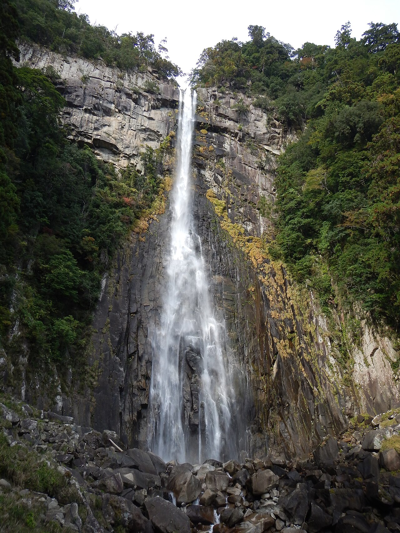
Photo: ja:利用者: Yosemite · Public domain
Duration
4 days
Distance
41 km
Ascent
2100 m
Difficulty
Moderate
Best season
Spring (late March–May) and autumn (October–November); the June rainy season and humid midsummer are best avoided

The Kumano Kodō is one of only two pilgrimage routes in the world inscribed by UNESCO — the other is the Camino de Santiago — and the Nakahechi is its classic line. Emperors and retired emperors walked it from Kyoto from the 10th century onwards, sometimes with entourages of hundreds, to reach the three grand shrines of the Kumano Sanzan. From Takijiri-oji to Kumano Hongū Taisha is roughly 40 km of mountain walking, and four days is the humane way to do it.

This is not a wilderness trek. It is cedar forest, moss, stone steps worn into hollows, tea fields, and small villages where you sleep in family-run minshuku, eat what the household eats, and soak in the bath before dinner. The route is punctuated by oji — subsidiary ‘prince’ shrines, mostly established in the 12th and 13th centuries — where pilgrims once stopped to purify themselves and rest. Many are now little more than a stone marker and a clearing, which somehow makes them better.

Getting there. Fly or take the train to Kii-Tanabe on the Kii Peninsula, then a local bus (about 40 minutes) to Takijiri-oji. From Hongū, buses run to Kii-Tanabe, to the Nachi coast, or to the hot springs at Yunomine and Kawayu.

Booking. Accommodation along the route is small, family-run, and genuinely limited — Takahara and Chikatsuyu have only a handful of beds between them, and they book out months ahead in spring and autumn. Reserve before you commit to dates, not after. Luggage-shuttle services between villages are widely used and worth every yen.

Good to know:

Day 1

Takijiri-oji to Takahara

Takijiri-oji → Takahara 4 km ↑ 430 m
Navigate this day

Only 4 km, but they go almost straight up. Enter the sacred precinct at Takijiri and climb through cedar to a ridge village looking out over a sea of mountains.

Segments

  1. Through the gate of the sacred realm 1.5 km ↑ 250 m 📍 Map

    Takijiri-oji shrine → Tainai-kuguri rocks

    Steep forest path, roots and rock

    Takijiri-oji marks the entrance to the sacred mountains of Kumano, and the trail wastes no time proving it — a steep pull through cedar past the Tainai-kuguri, a cleft in the rocks that pilgrims squeezed through as a symbolic rebirth. About 45 minutes.

  2. Up to the village in the mist 2.5 km ↑ 180 m 📍 Map

    Tainai-kuguri → Takahara

    Ridge path, then village lanes

    The grade eases onto a ridge and delivers you to Takahara, a hamlet perched at around 300 m and known as the 'village in the mist' for the cloud that pools in the valleys below it at dawn. A grove of 800-year-old camphor trees shades the small shrine. About 1 hour.

Day 2

Takahara to Chikatsuyu

Takahara → Chikatsuyu 13 km ↑ 800 m
Navigate this day

Thirteen kilometres of cedar forest, small passes and roadside shrines, with no real views and no real need for them. This is the day the route becomes a pilgrimage rather than a walk.

Segments

  1. The oji trail to Uwadawa 7 km ↑ 500 m 📍 Map

    Takahara → Uwadawa-jaya teahouse remains

    Cedar forest, rolling passes

    A steady rhythm of small climbs and drops through dense cedar, passing a string of oji — Uchikawa, Gyuba-doji — and the moss-covered foundations of teahouses that served pilgrims for centuries. About 3 hours.

  2. Gyuba-doji and the drop to Chikatsuyu
    Gyuba-doji and the drop to Chikatsuyu 6 km ↑ 300 m 📍 Map

    Uwadawa → Chikatsuyu

    Forest path, long descent

    Pass the small stone statue of Gyuba-doji — the retired emperor Kazan depicted riding both a cow and a horse — then descend to Chikatsuyu on the Hidaka river, the traditional halfway halt and the biggest village on the route. About 3 hours.

    About this place

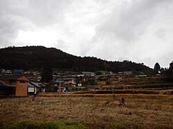
    Chikatsuyu is a small village in Wakayama Prefecture, Japan. It is part of the Tanabe City municipality. It sits adjacent to the Hidaka-gawa River. It is one of the ancient post stations along the Kumano Kodo World Heritage route.

    Read more on Wikipedia ↗

    Photo: Nekosuki · CC BY-SA 4.0

Day 3

Chikatsuyu to Hosshinmon-oji

Chikatsuyu → Hosshinmon-oji 17 km ↑ 800 m
Navigate this day

The most demanding stage: past the great Tsugizakura cedars, over the highest pass on the route, and along a remote ridge to Hosshinmon-oji, where the sacred precinct of Hongū formally begins.

Segments

  1. Tsugizakura-oji and the giant cedars 5 km ↑ 300 m 📍 Map

    Chikatsuyu → Tsugizakura-oji

    Forest path and village road

    Climb out of the valley to Tsugizakura-oji, sheltered by the Nonaka no Ippo-sugi — a stand of enormous cedars said to be around 800 years old, whose branches all reach toward Kumano. One of the most atmospheric spots on the whole route. About 2 hours.

  2. Over the Mikoshi pass 7 km ↑ 450 m 📍 Map

    Tsugizakura-oji → Mikoshi-toge (about 700 m)

    Sustained forest climb

    The long grind of the trek — a sustained climb through cedar plantation to Mikoshi-toge, the highest point of the Nakahechi at roughly 700 m. A short spur leads to a lookout over the Hatenashi range. About 3 hours.

  3. The ridge to Hosshinmon-oji
    The ridge to Hosshinmon-oji 5 km ↑ 50 m 📍 Map

    Mikoshi-toge → Hosshinmon-oji

    Undulating ridge, forest

    An undulating ridge through remote forest brings you to Hosshinmon-oji — the 'gate of awakening of the aspiration to enlightenment', the outermost boundary of the Hongū sanctuary. Everything from here in is holy ground. About 2 hours.

    About this place

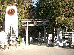
    Kumano Hongū Taisha (熊野本宮大社) is a Shinto shrine in Tanabe in Wakayama, Japan. It is included as part of the Kumano Sanzan in the World Heritage Site "Sacred Sites and Pilgrimage Routes in the Kii Mountain Range". The main deities enshrined are Kumano Sansho Gongen (熊野三所権現): Ketsumimiko (家津美御子), Hayatama (速玉) and Fusubi (牟須美). All of the ancient Kumano Kodō routes lead to the Grand Shrine.

    Read more on Wikipedia ↗

    Photo: Wikimedia Commons · CC BY-SA 3.0

Day 4

Hosshinmon-oji to Hongū Taisha and Oyunohara

Hosshinmon-oji → Oyunohara 7 km ↑ 70 m
Navigate this day

The most-loved section of the Nakahechi: an easy descent past hamlets and tea terraces, with the first glimpse of the giant torii below, then arrival at Kumano Hongū Taisha itself.

Segments

  1. Tea fields and the first sight of the torii 4 km ↑ 60 m 📍 Map

    Hosshinmon-oji → Fushiogami-oji

    Village lanes, tea terraces, forest

    Walk down through the hamlets of Mizunomi and Fushiogami, past tea terraces and persimmon trees. At Fushiogami-oji pilgrims caught their first view of the Hongū shrine below and dropped to their knees — hence the name, 'bowing down'. About 1.5 hours.

  2. Arrival at Kumano Hongū Taisha
    Arrival at Kumano Hongū Taisha 2 km ↑ 10 m 📍 Map

    Fushiogami-oji → Kumano Hongū Taisha

    Forest descent, stone steps

    A last descent through forest and up a broad flight of stone steps to the head shrine of the more than 3,000 Kumano shrines across Japan — dark cypress-bark roofs, no paint, no gilding. The end of the pilgrimage, and the quietest arrival imaginable. About 45 minutes.

    About this place

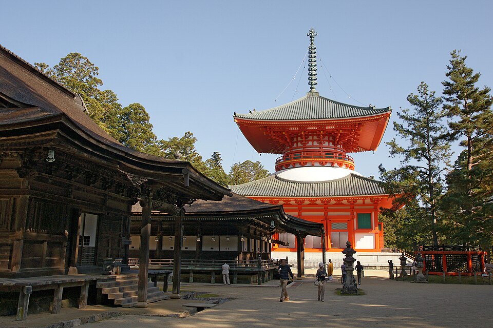
    Kumano Hongū Taisha (熊野本宮大社) is a Shinto shrine in Tanabe in Wakayama, Japan. It is included as part of the Kumano Sanzan in the World Heritage Site "Sacred Sites and Pilgrimage Routes in the Kii Mountain Range". The main deities enshrined are Kumano Sansho Gongen (熊野三所権現): Ketsumimiko (家津美御子), Hayatama (速玉) and Fusubi (牟須美). All of the ancient Kumano Kodō routes lead to the Grand Shrine.

    Read more on Wikipedia ↗

    Photo: Wikimedia Commons · CC BY-SA 3.0

  3. Oyunohara and the great torii
    Oyunohara and the great torii 1 km ↑ 0 m 📍 Map

    Kumano Hongū Taisha → Oyunohara

    Flat riverside path

    Ten minutes' walk to the sandbank at the confluence of the Kumano river, where the shrine stood until a catastrophic flood in 1889 swept it away and it was rebuilt on higher ground. The site is now marked by an immense steel torii — around 34 m tall, the largest in the world — standing alone in an empty field. Go at dusk.

    About this place

    Kumano Hongū Taisha (熊野本宮大社) is a Shinto shrine in Tanabe in Wakayama, Japan. It is included as part of the Kumano Sanzan in the World Heritage Site "Sacred Sites and Pilgrimage Routes in the Kii Mountain Range". The main deities enshrined are Kumano Sansho Gongen (熊野三所権現): Ketsumimiko (家津美御子), Hayatama (速玉) and Fusubi (牟須美). All of the ancient Kumano Kodō routes lead to the Grand Shrine.

    Read more on Wikipedia ↗

    Photo: Wikimedia Commons · CC BY-SA 3.0

Comments