
Blog
The Northern GR20: Who It Is Not For
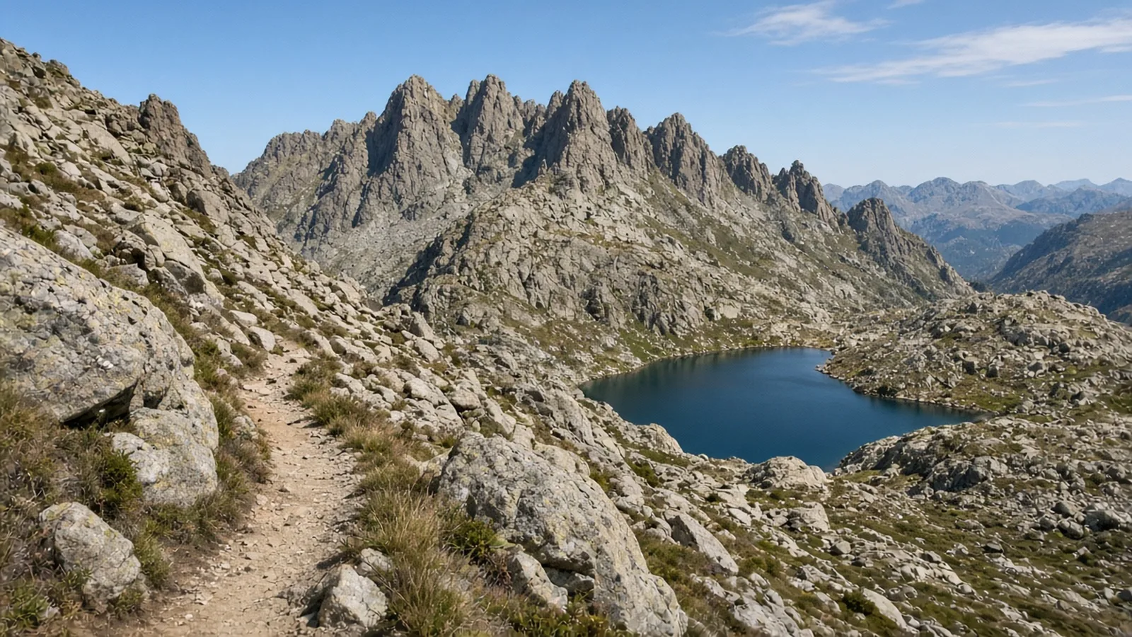
In short
The GR20 from Calenzana to Vizzavona is expert: six days, 98 km and 6,450 m, mid-June to September, over Monte Cinto and Lac de Nino. It is not for a walker whose hardest day is the West Highland Way, a moderate 154 km with far less climbing. Snow lingers on the high passes into early summer.
Six days on the northern GR20, graded expert
The northern GR20 runs from Calenzana to Vizzavona in six days: 98 km and 6,450 m of ascent, over the Monte Cinto massif and past Lac de Nino. Waymark grades it expert. The season is mid-June to September. Snow lingers on the high passes into early summer, so the first days of June are not a clever head start. The months on the route are June, July, August and September, and June means the second half of the month. July and August are when you book refuge bunks ahead. Afternoon storms are common. Start each stage early.
This is granite ridges, chained rock, and refuge-to-refuge stages that the usual GR20 itinerary would split. The page calls the GR20 Europe’s toughest waymarked trail, and says the northern half holds the hardest of it. You need sure footing, a head for exposure, and real hill fitness. Fly into Bastia, Calvi or Ajaccio. Calenzana is a short taxi or bus from Calvi. Vizzavona sits on the Ajaccio to Bastia railway, so the finish has a train.
Who it is not for
It is not for someone whose hardest day is the West Highland Way. That route is graded moderate: 154 km and 3,155 m of ascent over seven days, from Milngavie to Fort William, in season from May to September. It is longer than this Corsican week. It is far less steep. Its highest point is the Devil’s Staircase at 550 m. Its biggest day, Tyndrum to Kingshouse, is about 30 km and 550 m of climbing across Rannoch Moor: long, exposed, and still a path.
Put the northern GR20’s days next to that. Day one leaves Calenzana and climbs almost without a pause: 12 km and 1,470 m, about six hours, to the refuge at Ortu di u Piobbu around 1,570 m. That single ascent is already close to half the West Highland Way’s entire week of climbing, packed into one morning and afternoon. Day four, the Monte Cinto crossing, is about 19 km and 1,300 m, around nine hours, over the Pointe des Éboulis at about 2,607 m. That is the high point of the whole GR20, on the shoulder of Monte Cinto, 2,706 m, the highest peak in Corsica. Day six, the compressed finish to Vizzavona, is about 30 km and 1,400 m, around nine hours. A walker whose proudest day is a 30 km moor crossing at a few hundred metres is not a quieter version of this person. They are under-graded for the trip.
If the West Highland Way is the hardest thing you have finished, and you finished it tired but comfortable, stay on routes of that grade. The GR20 north will not feel like “the same, but in Corsica.” The exposure, the chains, and the daily vertical are the route.
The six days, briefly
Day one is the maquis climb described above, through scented scrub and pine to Bocca a u Saltu, then a contour to the first refuge. It is the day people remember as relentless, and it is only the introduction.
Day two is Ortu di u Piobbu to Carrozzu: about 7 km and 780 m, around seven hours. You climb to the col of Bocca Piccaia, follow an airy ridge, and drop on loose rock through laricio pine to a refuge tucked above the Spasimata stream. The distance is short. The descent is the knee test.
Day three is Carrozzu to Haut Asco: about 6 km and 790 m, around six hours. A suspension footbridge, then the polished granite slabs of Spasimata, fitted with chains, past the small Lac de la Muvrella. The col of Bocca di a Muvrella gives the first view of Monte Cinto. You finish at the old ski station of Haut Asco, also called Ascu Stagnu, where there is a refuge and a chance to resupply before the hardest day.
Day four is the crux. Haut Asco to Ciottulu di i Mori: about 19 km and 1,300 m, around nine hours. The modern route climbs to the Pointe des Éboulis. It replaced the Cirque de la Solitude, which collapsed in a rockfall in 2015. From the high point you descend steep chained rock to the refuge at Tighjettu, then follow the Viru valley to Ciottulu di i Mori at around 1,990 m, under the fang of Paglia Orba. This is the day the grade is for. Do not start it late, and do not start it if the morning weather is already wrong. Storms at this height do not give you a gentle hour to decide.
Day five is the long scenic one: Ciottulu di i Mori to Manganu, about 24 km and 710 m, around eight hours. You drop through the Valdu Niellu pines to Castel di Vergio, a resupply if you need it, then cross open plateau to Lac de Nino at about 1,760 m. The lake is the source of the Tavignano, ringed by pozzines, the grassy hollows grazed by half-wild horses and pigs. Then the plateau du Camputile, stream crossings, and the refuge at Manganu around 1,600 m. The climbing is the kindest of the week. The distance is not.
Day six links what used to be more than one stage: Manganu to Vizzavona, about 30 km and 1,400 m, around nine hours. A steep chained climb reaches Bocca alle Porte, the Brèche de Capitellu, around 2,225 m, with the view down to the glacial lakes of Capitellu and Melu. Then the high ground past Petra Piana and the ridge to the refuge at l’Onda, and a long descent in beech and pine past the Cascades des Anglais to Vizzavona station. That village is the end of the north. The train is the logistics. Your legs may not agree that the day is over when the platform appears.
Season, beds, and food
Mid-June to September is the window, and early June still holds snow on the high cols. July, August and September are the reliable months. June is an opening month on this trail, not a peak month: go in the second half, and only if the passes you need are clear. The same caution shows up on other high routes that month. Read Where to walk in June before you treat the first week as “close enough.”
The route is served by staffed PNRC refuges and gîtes. You can sleep in a dormitory, pitch a tent, or hire one. Book bunks ahead in July and August. Carry food for the long central stages, where resupply is thin. Haut Asco and Castel di Vergio are the stops where that gets easier. They are not a reason to walk light from Calenzana.
If you want a week of this length at a moderate grade, the West Highland Way is the honest alternative, midges and all, from May to September. If you want the GR20 north, arrive fit for a 1,470 m day, respect the chains, and keep the dates inside mid-June to September. The other long walks are on trails. Matching the distance and ignoring the vertical is how people get this one wrong.
Questions
- Who should not attempt the northern GR20?
- A walker whose hardest day is the West Highland Way. That route is moderate, 154 km and 3,155 m over seven days, with a high point of 550 m. The GR20's first day alone climbs about 1,470 m.
- When is the northern GR20 in season?
- Mid-June to September. Snow lingers on the high passes into early summer, so the first days of June are too early. Book refuge bunks ahead in July and August.
- What is the grade, distance and climbing?
- Expert, six days, 98 km and 6,450 m of ascent, from Calenzana to Vizzavona via Monte Cinto and Lac de Nino.
- Which day is the hardest?
- The Monte Cinto crossing, about 19 km and 1,300 m, over the Pointe des Éboulis at about 2,607 m. The modern route replaced the Cirque de la Solitude after a rockfall in 2015.
- Where does the north end?
- At Vizzavona, which is on the railway between Ajaccio and Bastia. The last day is about 30 km and 1,400 m, a compressed finish over the lakes and down through the forest.
Sources
Routes in this post
-
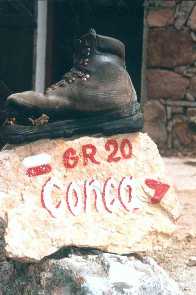 Photo: User:Tcherome · Public domainTrek France
GR20 North — Calenzana to Vizzavona
Six demanding days across the granite spine of northern Corsica, from the maquis above Calenzana over the Monte Cinto massif and past Lac de Nino to the forests of Vizzavona.
- Duration
- 6 days
- Distance
- 98 km
- Difficulty
- Expert
-
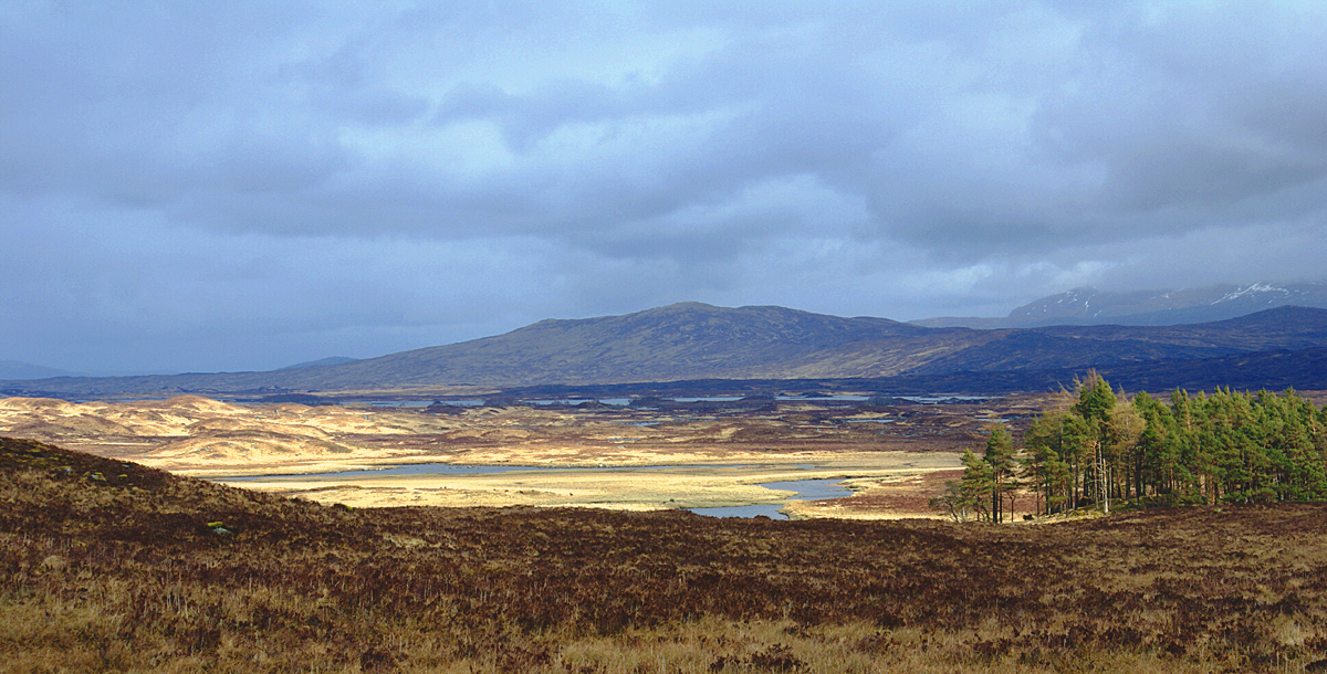 Photo: Mogens Engelund · CC BY-SA 3.0Trek United Kingdom
The West Highland Way: Milngavie to Fort William
Scotland's best-loved long-distance walk — 154 km from the edge of Glasgow along Loch Lomond, across the wilds of Rannoch Moor and through Glen Coe to Fort William beneath Ben Nevis.
- Duration
- 7 days
- Distance
- 154 km
- Difficulty
- Moderate