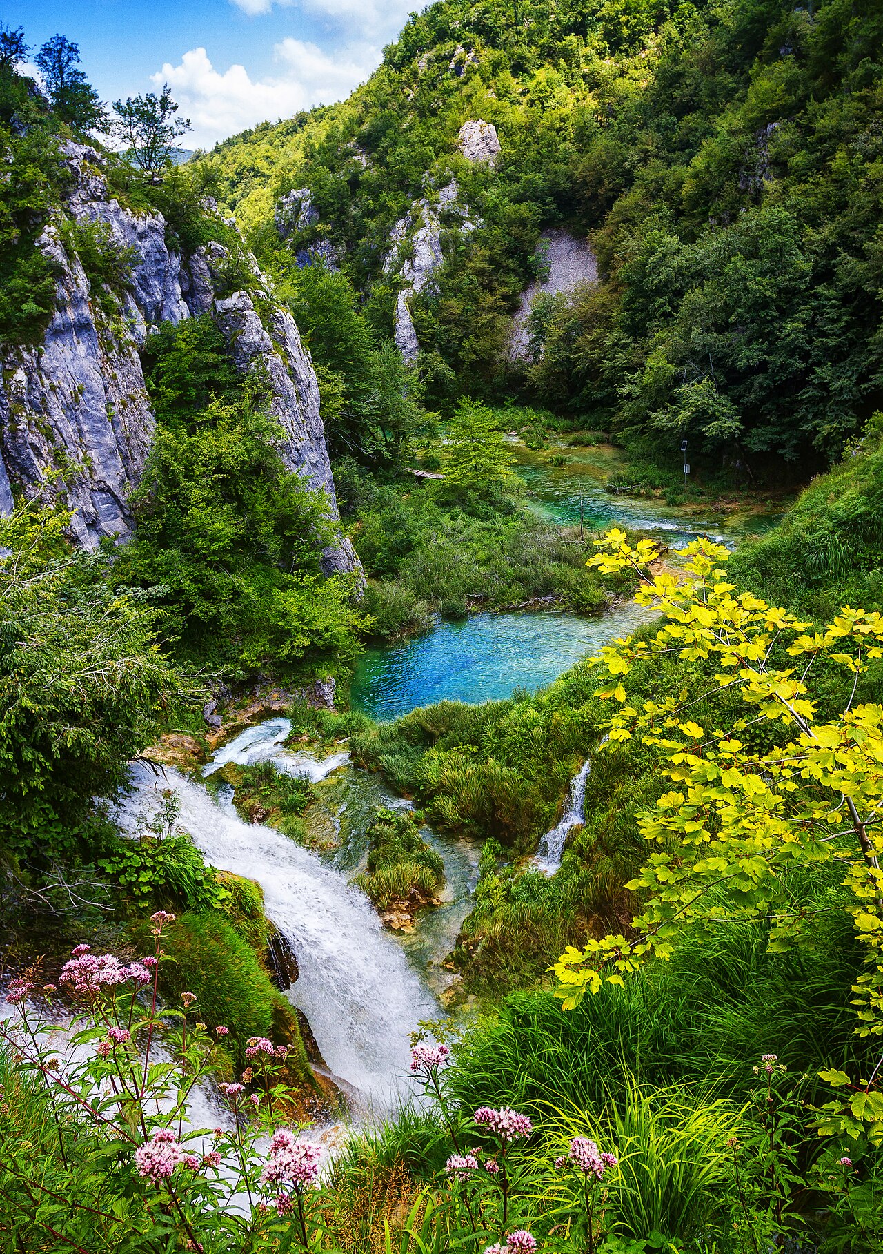
Downhill and north through the Upper Lakes, across Kozjak by electric boat, then into the Lower Lakes canyon to the great waterfall.
Segments
- Prošćansko jezero and the Upper Lakes
Entrance 2 → Galovac
Forest path and boardwalk
Drop through beech forest to Prošćansko jezero, the highest lake and — with Kozjak — one of the two that together hold about 80% of the park's water. The boardwalks begin here, threading between the pools on the softer, greener, more wooded half of the system. About 2 hours.
-
 The travertine terraces
Galovac → Kozjak south shore
Boardwalk over open water
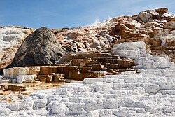
The best of the Upper Lakes. Boardwalks run directly across the terraced barriers, with water sheeting over travertine on both sides and cascades falling under your feet. This is where the turquoise is most intense — the colour shifts with light, mineral content and angle, so the same pool looks different on the way back.
About this place
Travertine is a form of fresh water limestone deposited around mineral springs, especially hot springs. It often has a fibrous or concentric appearance and exists in white, tan, cream-colored, and rusty varieties. It is formed by a process of rapid precipitation of calcium carbonate, often at the mouth of a hot spring or in a limestone cave. In the latter, it can form stalactites, stalagmites, and other speleothems.
Read more on Wikipedia Photo: Frank Schulenburg · CC BY-SA 4.0 - Electric boat across Kozjak
Kozjak south shore (P2) → Kozjak north shore (P1)
Lake crossing by boat
A silent electric ferry — no petrol engines are allowed on the water — takes about 15 minutes to cross the length of Kozjak, the park's largest and deepest lake at 47 m. It is the natural break in the day and the only time you sit down. Boats run roughly every 20 minutes and the fare is in your ticket.
- The Lower Lakes canyon
Kozjak north shore → Novakovića Brod
Boardwalk under cliffs
The character changes completely. The valley narrows into a limestone canyon and the boardwalks are pinned between grey cliffs and falling water, past Milanovac, Gavanovac and Kaluđerovac. Šupljara cave sits in the wall here, with rock-cut stairs climbing between two lakes. Louder, darker and more dramatic than anything upstream.
-
 Veliki Slap and the climb out
Novakovića Brod → Entrance 1
Boardwalk, then stepped path
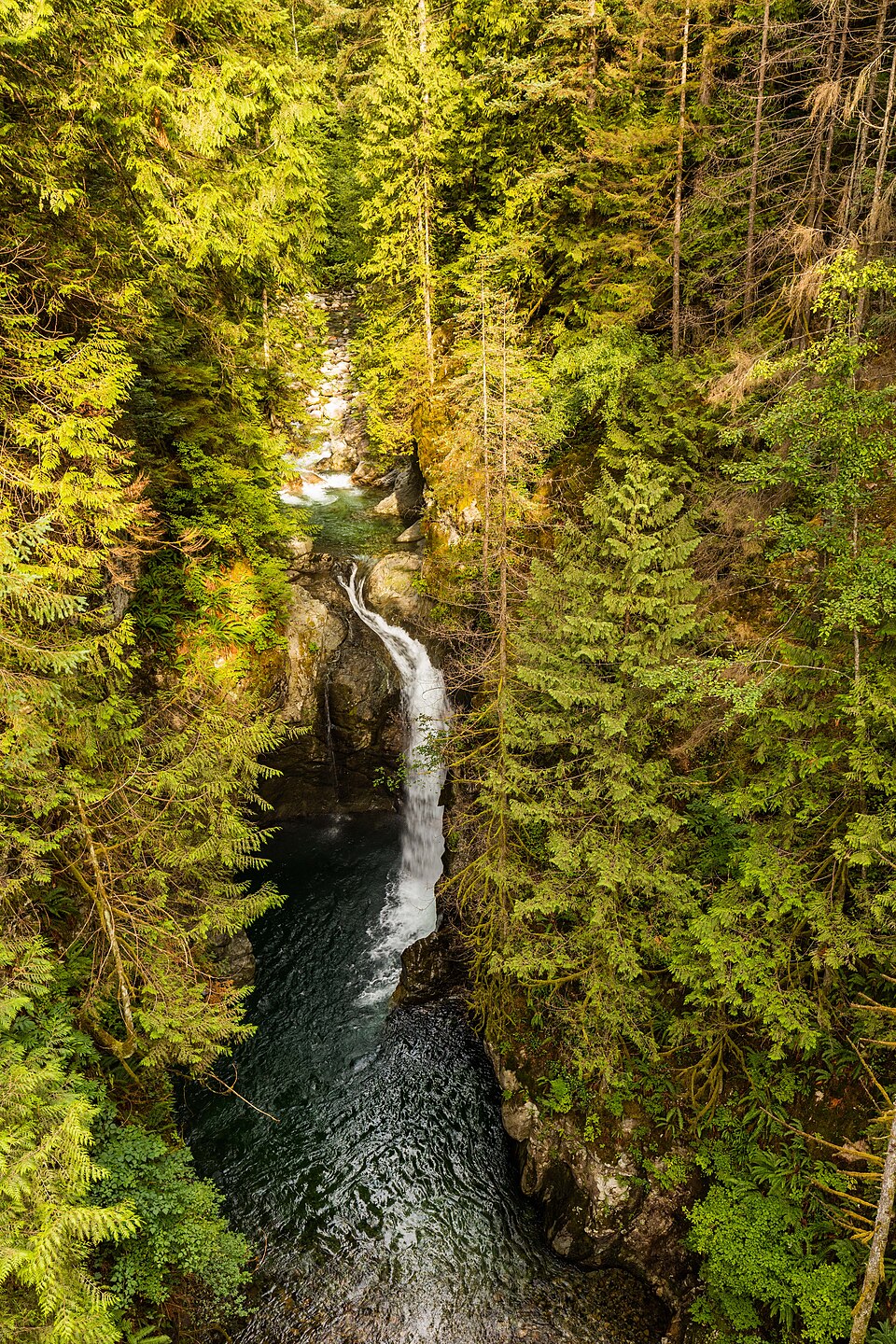
A short spur runs to the foot of Veliki Slap, where the Plitvica stream drops 78 m into the canyon — the tallest waterfall in Croatia, and the point where the lakes hand their water to the Korana. Then the only real climb of the day: a stepped path up the canyon wall to the viewpoint above Entrance 1, with the whole lower system laid out behind you.
About this place
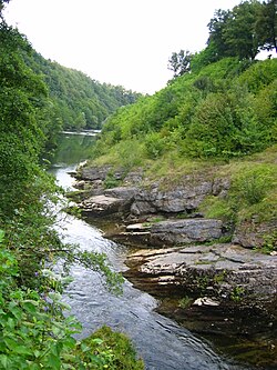
The Korana is a river in central Croatia and west Bosnia and Herzegovina. The river has a total length of 138.6 km (86.1 mi) and watershed area of 2,301.5 km2 (888.6 mi2).
Read more on Wikipedia Photo: Neoneo13 · Public domain
Comments
Sign in to join the conversation.
No comments yet — be the first.