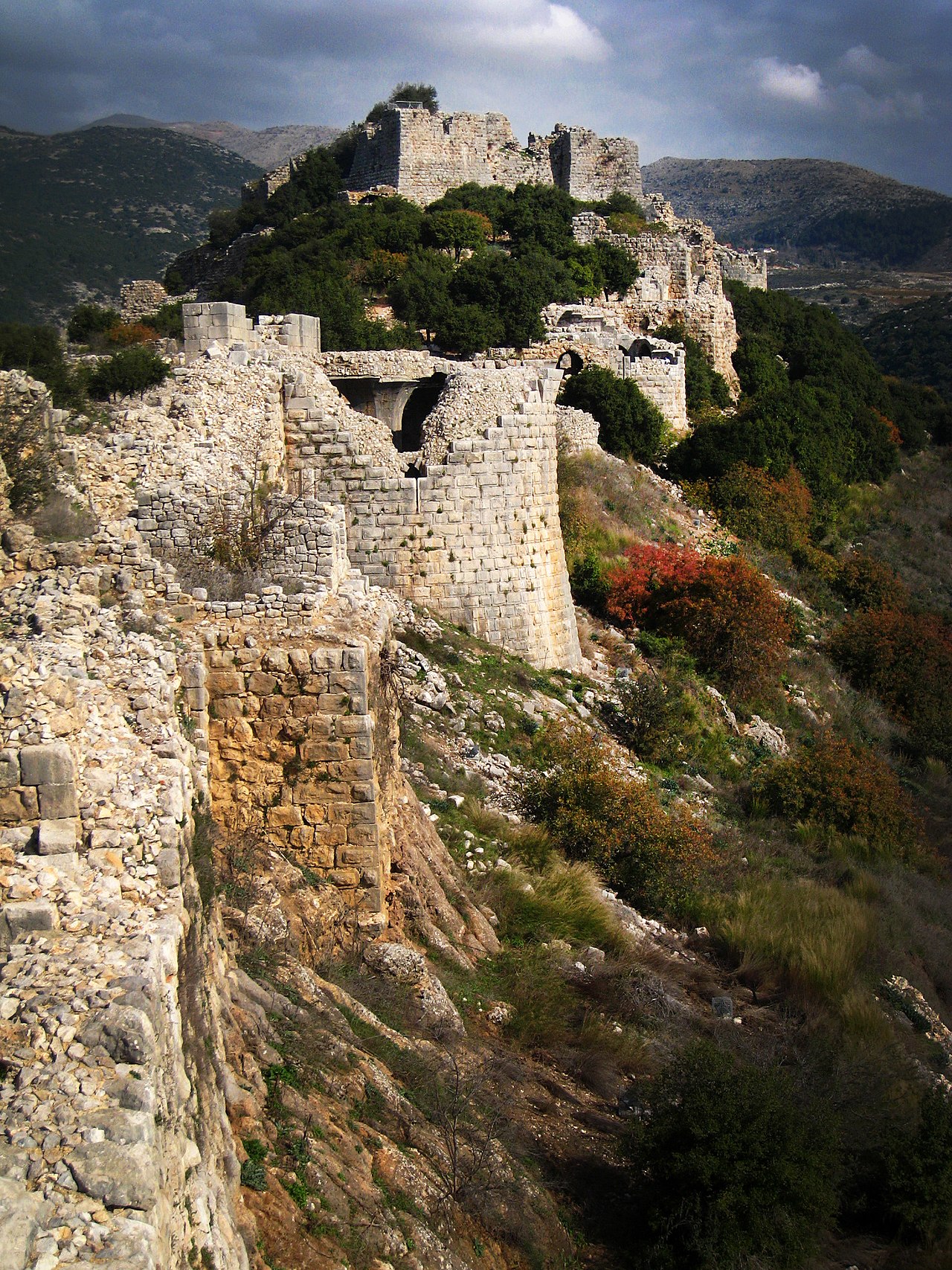
One continuous walk along the spine of the castle, from the western gate up to the great keep at the eastern end.
مقاطع
- The gate and the ridge
Car park ← Main gate
Paved approach
Enter through the main gate and take in the scale — a fortress strung nearly 420 meters along a ridge at about 800 meters above sea level, its towers roofed with pointed cross-arches. This is the largest medieval fortress in Israel, raised by the Ayyubids around 1228 to block a Crusader advance on Damascus, not by the Crusaders themselves. About 20 minutes.
- The keep
Main gate ← The donjon
Steps and stone ramps
Climb to the keep at the high, eastern edge of the fortress — a fortified tower-palace measuring roughly 65 by 45 meters, the strongest and best-defended point of the whole complex. From its walls you look straight down the ridge and out over the surrounding country. About 40 minutes.
-
 The beautiful tower & the inscriptions
The donjon ← The southwestern tower
Rampart walk
Work along to the fortress's great towers, admired for their fine ashlar masonry and their archer loopholes, narrow outside and splaying wide within. Carved Arabic dedication panels record the Ayyubid and Mamluk builders — including a 1275 inscription set up by Baybars' governor Bilik, glorifying the sultan who strengthened the castle and added its larger towers. About 30 minutes.
عن هذا المكان
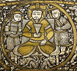
Al-Malik al-Zahir Rukn al-Din Baybars al-Bunduqdari, commonly known as Baibars or Baybars (بَيْبَرْس) and nicknamed Abu al-Futuh, was the fourth Mamluk sultan of Egypt and Syria, ruling from 1260 to 1277. He is noted for leading the vanguard of the Mamluk army that inflicted the first substantial defeat of the Mongols at the Battle of Ain Jalut, as well as his successful campaigns against the Crusaders. Through a combination of diplomacy and military action, he ushered in an age of Mamluk dominance in the Eastern Mediterranean.
اقرأوا المزيد في ويكيبيدياصورة: 14th century artist · Public domain
- The secret cistern staircase
The southwestern tower ← The underground cistern
Hidden staircase, low passage
Duck into one of the fortress's secret corridors, where a winding staircase drops down into an underground cistern — some of the original plaster still clinging to the walls after eight centuries. Bring a light and mind your head. About 20 minutes.
-
 The ridge views
The underground cistern ← The eastern ramparts
Exposed ramparts
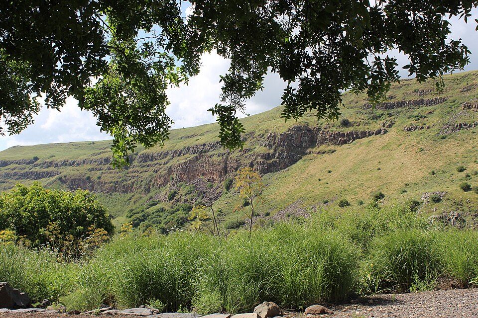
Finish on the open ramparts, where the whole point of the place becomes obvious: the fortress commands the deep valley between Hermon and the Golan and the old road linking the Galilee with Damascus, with the Hula Valley opening out to the west. On a clear day it is one of the great views in the north. About 20 minutes.
عن هذا المكان
The Golan Heights, or simply the Golan, is a basaltic plateau at the southwest corner of Syria, the majority of which has been occupied and administered by Israel since the 1967 Six-Day War. It is bordered by the Yarmouk River in the south, the Sea of Galilee and Hula Valley in the west, the Anti-Lebanon Mountains with Mount Hermon in the north and Wadi Raqqad (Ruqqad) in the east, with an alternative definition having it stretch further east, up to Wadi 'Allan. It hosts vital water sources that feed the Hasbani River and the Jordan River. Two thirds of the area was depopulated following the 1967 Six-Day War and later effectively annexed in 1981. In 2019, during the first Trump administration, the United States became the first country to recognize Golan Heights as part of Israel. No other UN member state has formally recognized Israeli sovereignty over the territory, and the international community largely considers it Syrian land under occupation. In late 2024, amid the collapse of the Assad regime and the Syrian government's control, Israeli forces entered and took control of the United Nations‑monitored demilitarized buffer zone on the Syrian-controlled side of the Golan Heights.
اقرأوا المزيد في ويكيبيدياصورة: Goran_tek-en · CC BY-SA 4.0
التعليقات
سجّلوا الدخول للانضمام إلى النقاش.
لا توجد تعليقات بعد — كونوا أوّل المعلّقين.