← كل المسارات
رحلة مشي Western Galilee, Israel

Nahal Kziv and Montfort Castle

A full day in the Galilee's greenest canyon — running water in every season, plane trees and oleander along the streambed, and a ruined Crusader castle on the spur above.

Nahal Kziv and Montfort Castle
صورة: Pacman · Public domain
المدة
1 أيام
المسافة
12 km
الصعود
500 m
مستوى الصعوبة
متوسط
أفضل موسم
October–April; spring (March–April) is the peak, with running water and wildflowers. Avoid the summer heat, and stay out of the canyon on rainy days — flash floods are a real risk.

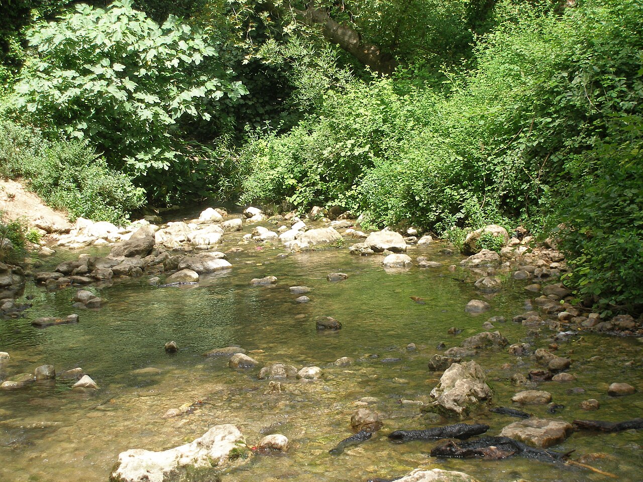
Nahal Kziv is the longest stream in the Galilee — about 39 km from the slopes of Mount Meron down toward the Mediterranean — and one of the few in the country that carries water all year. That single fact explains everything about the walk: a shaded corridor of oriental plane trees, oleander and lilies cut into limestone hills that are bone-dry a kilometre in either direction.

The day pairs the streambed with the ridge above it. Montfort Castle, bought as land by the Teutonic Order from the de Milly family in 1220 and built up in phases from 1228, sits on a narrow spur directly over the canyon. It held the Order’s headquarters, archives and treasury from 1229 until Sultan Baibars took it in 1271 and spent twelve days deliberately demolishing it. What is left is a long, thin ruin that follows the shape of the rock.

Getting there. Best done with two cars or a pickup: leave one at Goren Park (Mitzpe Montfort), drive to the Ein Ziv trailhead near Hurfeish, and walk through. With a single car, walk down from Goren Park to the stream, out to Montfort, and back up the same way.

Good to know:

اليوم 1

Ein Ziv to Goren Park via Montfort

Ein Ziv trailhead → Goren Park (Mitzpe Montfort) 12 km ↑ 500 m
التنقّل في هذا اليوم

A downstream day through the perennial section of the stream, capped by the climb to Montfort and a final ascent to the Goren Park lookout.

مقاطع

  1. Down to Ein Ziv 2 km ↑ 0 m 📍 خريطة

    Ein Ziv trailhead → Ein Ziv springs

    Dirt track descending to the streambed

    An easy drop off the plateau into the head of the canyon, where Ein Ziv emerges. Because the national water company draws from the spring, the channel just below here can run thin or dry — the walk earns its water further down. About 45 minutes.

  2. The green corridor
    The green corridor 3.5 km ↑ 50 m 📍 خريطة

    Ein Ziv → Mid-canyon narrows

    Streambed, boulders, shallow crossings

    The heart of the walk. The canyon closes in and the vegetation thickens into a genuine gallery forest — oleander in pink flower through spring, lilies in the damp margins, and the hills above holding classic Mediterranean maquis. Expect to cross the water repeatedly. Around 2 hours.

    عن هذا المكان

    Nerium oleander, commonly known as oleander, rose laurel, be-still tree or rosebay, is a shrub or small tree cultivated worldwide in temperate and subtropical areas as an ornamental and landscaping plant. It is the only species currently classified in the genus Nerium, belonging to subfamily Apocynoideae of the dogbane family Apocynaceae. It is so widely cultivated that no precise region of origin has been identified, though it is usually associated with the Mediterranean Basin.

    اقرأوا المزيد في ويكيبيديا ↗

    صورة: Alvesgaspar · CC BY 2.5

  3. Ein Tamir
    Ein Tamir 2 km ↑ 30 m 📍 خريطة

    Mid-canyon narrows → Ein Tamir

    Shaded streambed path

    The most reliable water on the route, under big oriental plane trees — the classic Kziv picture. A good place to stop and eat before the only real climb of the day. About an hour, plus however long you linger.

    عن هذا المكان

    Platanus orientalis, the Oriental plane, is a large, deciduous tree in the family Platanaceae, growing to 30 m (98 ft) or more, and known for its longevity and spreading crown. In autumn, its deep green leaves may change to blood red, amber, and yellow.

    اقرأوا المزيد في ويكيبيديا ↗

    صورة: uncredited · CC BY-SA 3.0

  4. Climb to Montfort
    Climb to Montfort 1.5 km ↑ 250 m 📍 خريطة

    Ein Tamir → Montfort Castle

    Steep rocky switchbacks

    Leave the water and climb hard up the spur to the castle — a long, narrow ruin strung along the rock, and still an active dig. Recent seasons have turned up gaming pieces and a grand hall, alongside clear evidence of the twelve days the Mamluks spent tearing it down in 1271. About an hour of climbing.

    عن هذا المكان

    Montfort is a ruined Crusader castle in the Upper Galilee region in northern Israel, about 22 miles (35 km) northeast of the city of Haifa and 10 miles (16 km) south of the border with Lebanon.

    اقرأوا المزيد في ويكيبيديا ↗

    صورة: Eran Feldman · CC BY-SA 3.0

  5. Out to the lookout
    Out to the lookout 3 km ↑ 170 m 📍 خريطة

    Montfort Castle → Goren Park (Mitzpe Montfort)

    Descent to the stream, then a climb through woodland

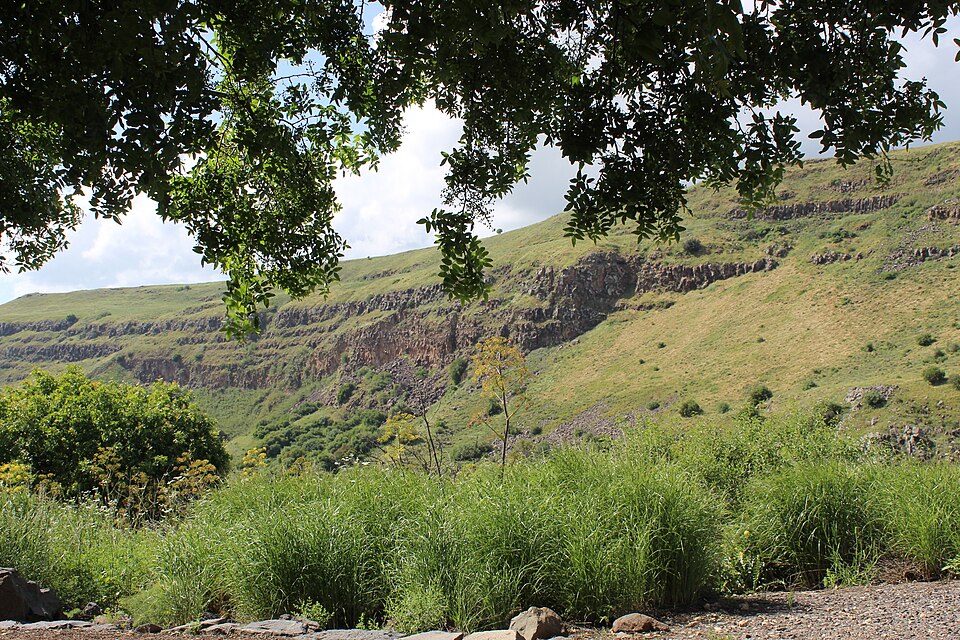
    Drop back to the stream, cross, and climb the far side to the Goren Park lookout — the postcard view, with the castle standing on its spur across the gorge and the whole canyon laid out below. About 1.5 hours.
    عن هذا المكان

    The Teutonic Order is a Catholic religious institution founded as a military society c. 1190 in Acre, Kingdom of Jerusalem. The Order of Brothers of the German House of Saint Mary in Jerusalem was formed to aid Christians on their pilgrimages to the Holy Land and to establish hospitals. Its members have commonly been known as the Teutonic Knights, having historically served as a crusading military order for supporting Catholic rule in the Holy Land and the Northern Crusades during the Middle Ages, as well as supplying military protection for Catholics in Eastern Europe.

    اقرأوا المزيد في ويكيبيديا ↗

    صورة: Wikimedia Commons · Public domain

Comments