المملكة المتحدة
England
4 مسارات

عن England
إنْجِلْترا أو إنْكِلْترا أو إِنْكِلْتِرَة ، أو كما سماها الإدريسي إنقلطارة ولنقلطارة، هي أكبر بلد في المملكة المتحدة وتشترك في الحدود البرية مع إسكتلندا إلى الشمال وويلز إلى الغرب والبحر الأيرلندي من الشمال الغربي وبحر الكلت في الجنوب الغربي وبحر الشمال في الشرق، وتفصلها القناة الإنجليزية عن القارة الأوروبية جنوبًا. ويتكون البر الرئيسي من إنجلترا من الأجزاء الوسطى والجنوبية من جزيرة بريطانيا العظمى الواقعة في شمال المحيط الأطلسي. تشمل إنكلترا أيضًا أكثر من مئة جزيرة صغيرة، مثل جزر سيلي وجزيرة وايت.
اقرأوا المزيد في ويكيبيديا · من ويكيبيديا-
 صورة: Geof Sheppard · CC BY-SA 3.0رحلة مشي المملكة المتحدة
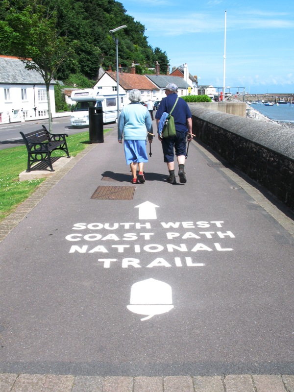
Cornwall's Coast Path: St Ives to Land's End
Three days around the wild granite tip of Penwith — from St Ives along Cornwall's roughest cliffs, past ruined engine houses and hidden coves, to Land's End.
- المدة
- 3 أيام
- المسافة
- 42 km
- مستوى الصعوبة
- متوسط
-
 صورة: The original uploader was Moyn2000 at English Wikipedia. · Copyrighted free useرحلة مشي المملكة المتحدة
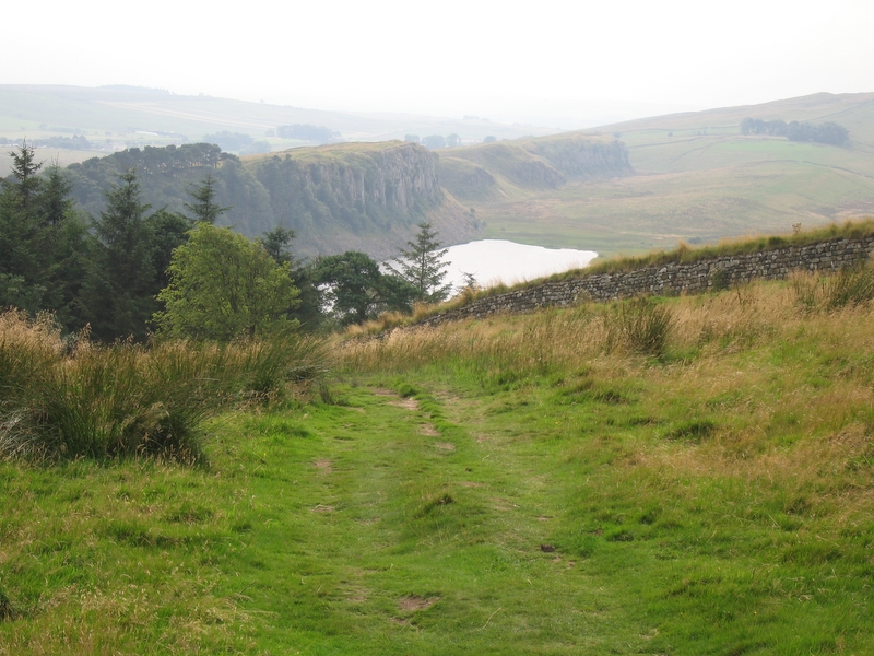
Hadrian's Wall: The Central Section
Two days along the best-preserved stretch of Hadrian's Wall Path, where the Roman frontier rides the crags of the Whin Sill past Housesteads, Sycamore Gap and Vindolanda.
- المدة
- 2 يومان
- المسافة
- 32 km
- مستوى الصعوبة
- متوسط
-
 صورة: Diliff · CC BY 2.5جولة في المدينة المملكة المتحدة
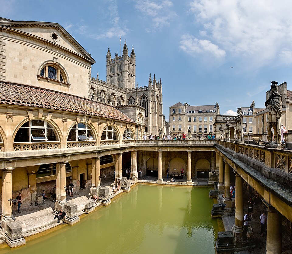
Bath: A Georgian Walk, From Roman Spring to Royal Crescent
One easy day through a honey-coloured city — the Roman Baths, the abbey, the great Georgian set pieces, and a bridge with shops all the way across.
- المدة
- 1 يوم
- المسافة
- 4 km
- مستوى الصعوبة
- سهل
-
 صورة: Doug Sim · CC BY-SA 4.0رحلة مشي المملكة المتحدة
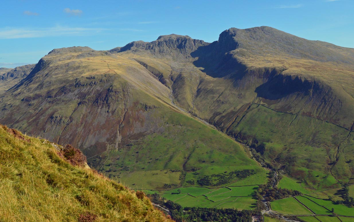
Scafell Pike from Wasdale Head
The shortest way up England's highest mountain (978 m) — about 900 m of climbing from Wasdale through Lingmell Gill and Hollow Stones onto a summit that is a bare field of boulders.
- المدة
- 1 يوم
- المسافة
- 9.6 km
- مستوى الصعوبة
- صعب