← All routes
Trek High Atlas — Toubkal National Park, Morocco

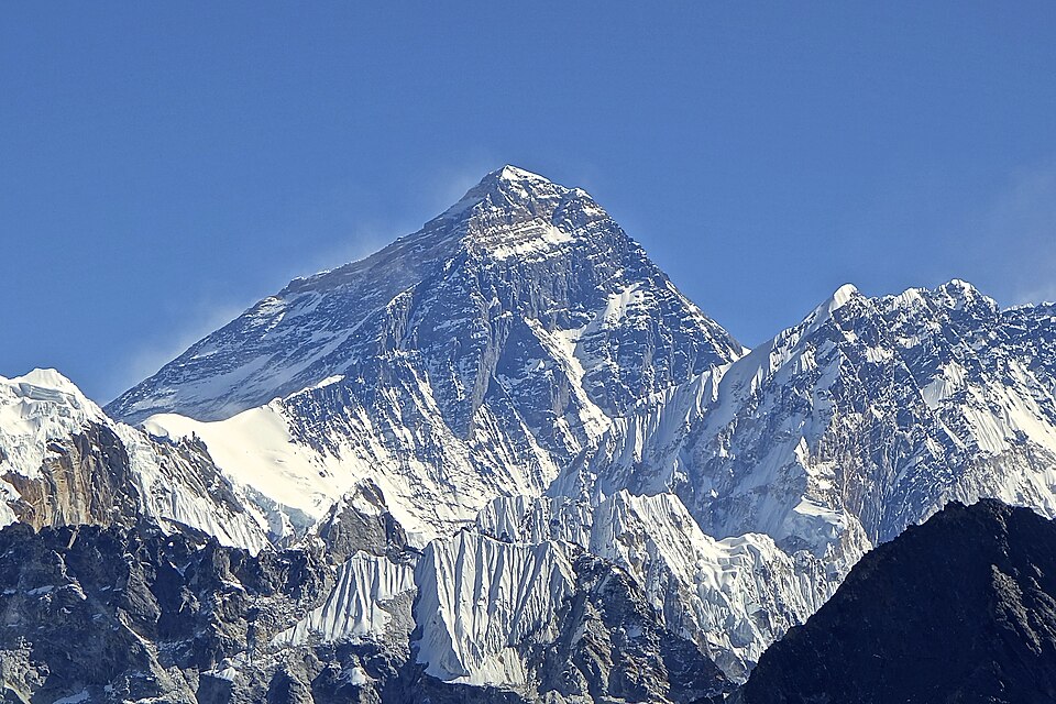
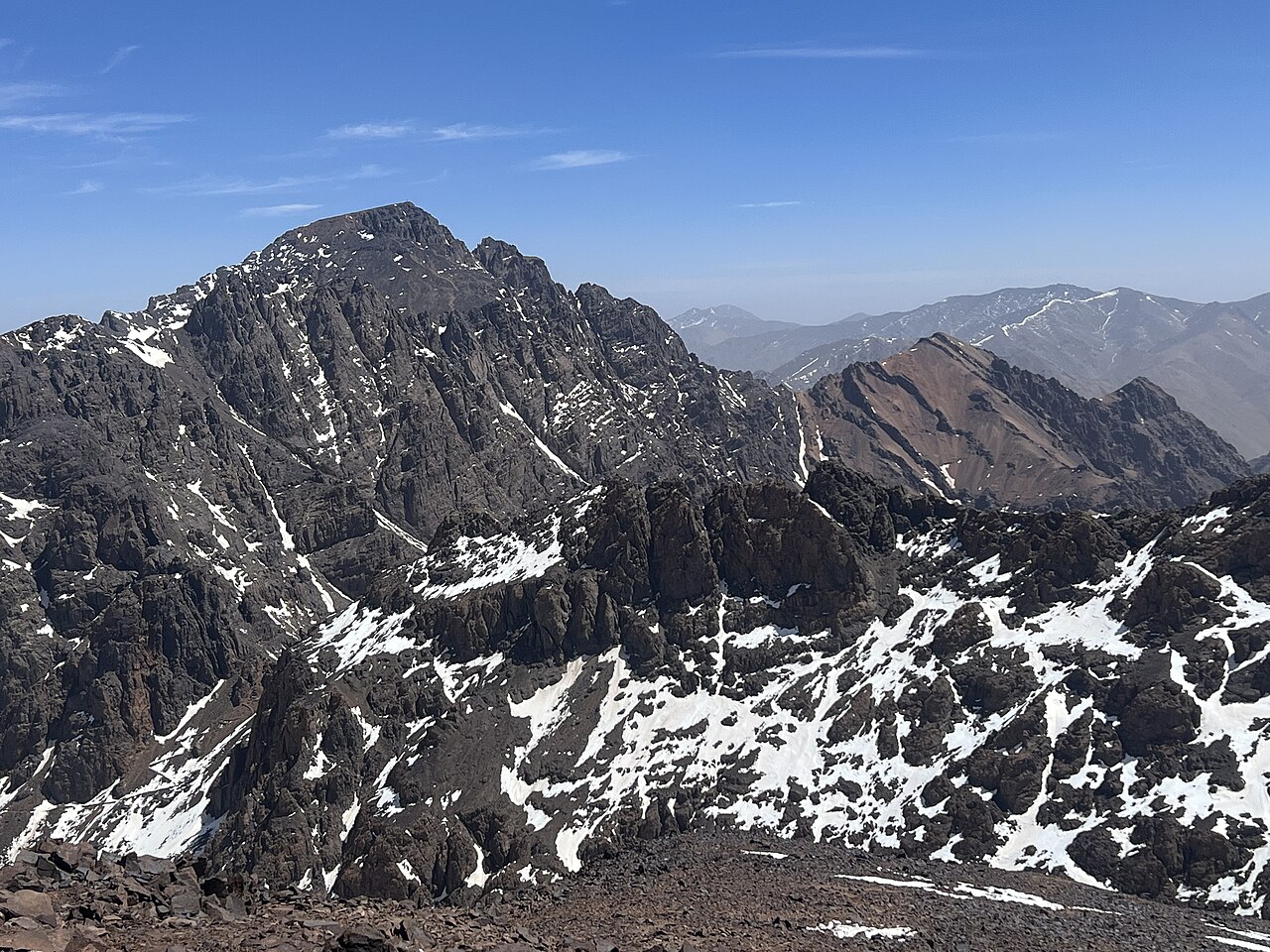
Mount Toubkal — North Africa's Highest Summit

Two days from a Berber village to the roof of North Africa at 4,167 m — mule tracks, a blue-painted shrine, a mountain refuge, and a long scree climb to a summit that sees the Sahara.

Mount Toubkal — North Africa's Highest Summit
Photo: SimonKing74 · CC0
Duration
2 days
Distance
30 km
Ascent
2360 m
Difficulty
Hard
Best season
Spring to autumn, roughly May–October (winter and early spring need crampons and an ice axe)

Toubkal is the highest mountain in North Africa at 4,167 m, sitting in the High Atlas about 63 km south of Marrakesh. What makes it remarkable is how close it is to the city: you can leave a Marrakesh riad after breakfast and be sleeping at 3,207 m under the summit that night. The walking is non-technical in summer — no ropes, no scrambling — but the altitude and the endless scree make it a genuinely hard two days.

The route up the Ait Mizane valley is a working mule track through Amazigh (Berber) villages, not a wilderness trail. Walnut groves, terraced fields, and a blue-painted shrine give it a character no other 4,000 m peak has.

Getting there. A shared taxi from Marrakesh to Imlil (about 1,800 m) takes roughly 75–90 minutes. Imlil is the trailhead and where guides, mules and gear hire are arranged.

Guides & permits. Since 2019 a licensed local mountain guide has been required for the Imlil–Toubkal route, and checkpoints in the Ait Mizane valley check passports and guide credentials. Bring your passport. Refuge beds should be booked ahead in high season.

Good to know:

Day 1

Imlil to the Toubkal Refuge

Imlil (about 1,800 m) → Toubkal Refuge (3,207 m) 11 km ↑ 1400 m
Navigate this day

The approach walk. A mule track climbs the Ait Mizane valley from Imlil through walnut groves and the village of Aroumd, past the shrine at Sidi Chamharouch, and up a bare, rocky valley to the refuges below the peak.

Segments

  1. Imlil to Aroumd
    Imlil to Aroumd 3 km ↑ 100 m 📍 Map

    Imlil → Aroumd

    Mule track through walnut groves

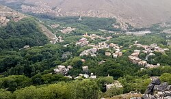
    An easy start on a broad track out of Imlil, climbing gently through walnut trees and terraced fields to Aroumd, a stone village stacked on the hillside above a wide boulder flood-plain. About 1 hour.

    About this place

    Imlil is a small village in the high Atlas Mountains of Morocco. It is 1,800 metres (5,900 ft) above sea level. A portrait of Imlil and the problems and prospects of Morocco's mountain populations appeared in 1984 in the book by James A. Miller called Imlil and published by Westview Press. It is close to the mountain Jebel Toubkal, the highest peak in Northern Africa. Imlil makes a good base for attempting to summit Toubkal as it lies at the end of the tarmac road, and is a natural place to hire mountain guides and mules for the onward trek. Imlil is the centre of mountain tourism in Morocco due to its unique position. From here, 90% of visitors head up to Toubkal, the highest mountain in Morocco.

    Read more on Wikipedia ↗

    Photo: Mounir Neddi · CC BY-SA 4.0

  2. Aroumd to Sidi Chamharouch
    Aroumd to Sidi Chamharouch 4 km ↑ 450 m 📍 Map

    Aroumd → Sidi Chamharouch (about 2,350 m)

    Rocky valley path beside the stream

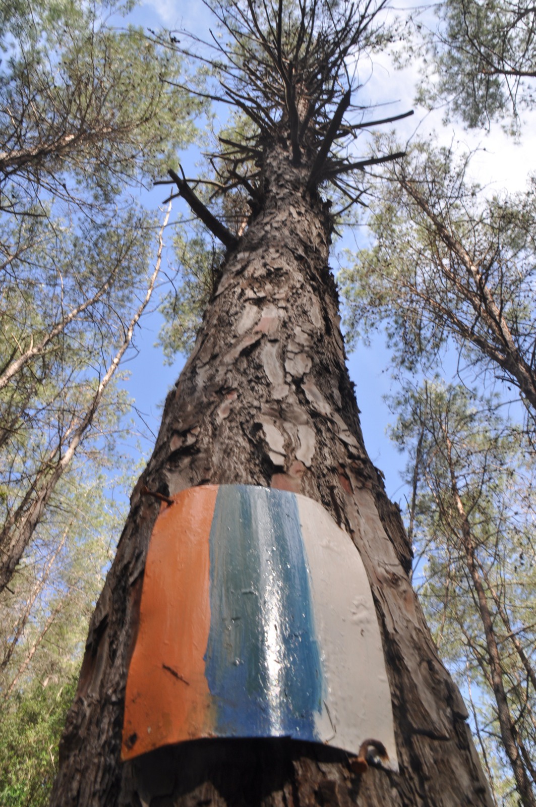
    Cross the flood-plain and follow the stream up a rocky path to Sidi Chamharouch, a small settlement built around a white-and-blue painted boulder that marks a Muslim shrine. It is a place of pilgrimage — non-Muslims should not cross the bridge to the shrine itself. The usual mint-tea stop. About 2 hours.

    About this place

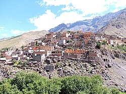
    Aroumd is a small Amazigh village in the Ait Mizane Valley of the High Atlas Mountains of Morocco. Its population is around 1,900. Its altitude is 1900 m above sea level. Aroumd is 40 minutes' walk up the valley from Imlil, and is quieter and seen as more traditional. Aroumd is the highest village in the Ait Mizane Valley and so forms a good base for summitting Mount Toubkal, the highest peak in North Africa. The route into Toubkal passes by Aroumd which is in Toubkal National Park.

    Read more on Wikipedia ↗

    Photo: Macabe5387 · CC BY-SA 4.0

  3. The climb to the refuges
    The climb to the refuges 4 km ↑ 850 m 📍 Map

    Sidi Chamharouch → Toubkal Refuge

    Long zigzags up a bare, rocky valley

    The valley narrows and the greenery stops. A long, exposed series of zigzags climbs the west flank to the two huts at 3,207 m — the Refuge du Toubkal and Refuge Les Mouflons. This is where altitude first starts to bite. About 3 hours.

    About this place

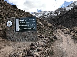
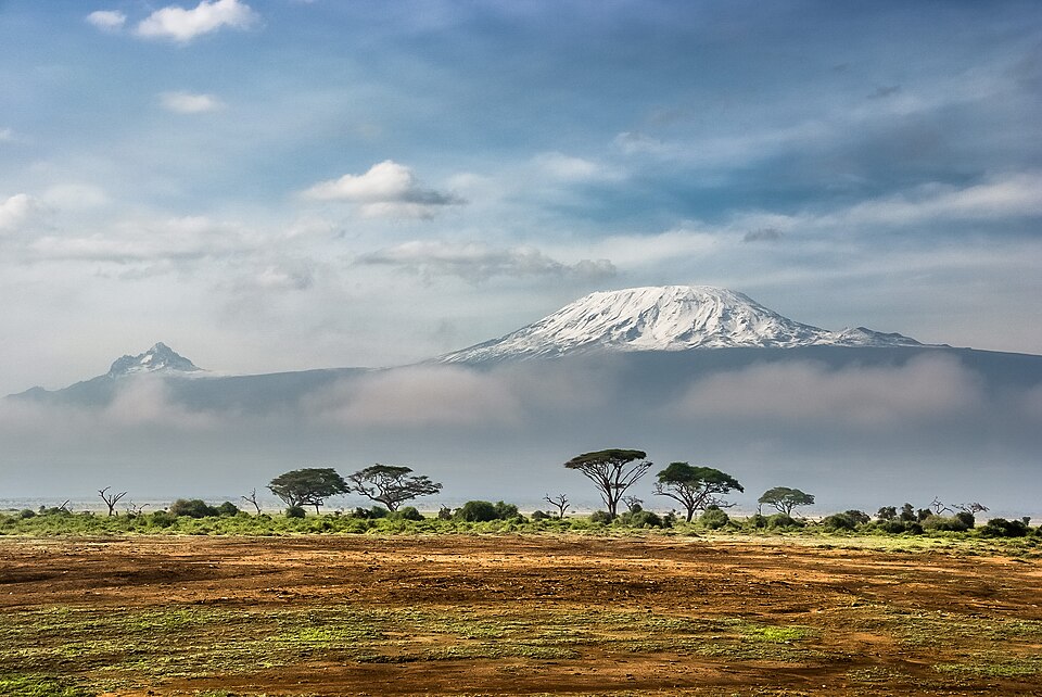
    Toubkal National Park is a national park in the High Atlas mountain range, 70 kilometres from Marrakesh in central-western Morocco. Established in 1942, it covers an area of 380 km2. Jbel Toubkal is the highest peak of the park at 4,167 metres.

    Read more on Wikipedia ↗

    Photo: Erokhin · CC BY-SA 4.0

Day 2

The summit and the long way down

Toubkal Refuge → Imlil 19 km ↑ 960 m
Navigate this day

Up before light for the south cirque route — a steep scree climb to the col, a rocky ridge to the summit, and then a very long descent that retraces the whole valley to Imlil.

Segments

  1. South cirque to the col 2 km ↑ 730 m 📍 Map

    Toubkal Refuge → Tizi'n'Toubkal col (about 3,940 m)

    Steep, loose scree

    Cross the stream and climb east up the Ikhibi Sud — a steep scree slope into a hanging valley, then another steep pull to the col at about 3,940 m. The scree is loose and demoralizing: two steps up, one back. Most people start in the dark. About 2 hours.

  2. The summit ridge 2 km ↑ 230 m 📍 Map

    Tizi'n'Toubkal col → Toubkal summit (4,167 m)

    Rocky ridge, no scrambling in summer

    Turn north and follow the boulder-strewn ridge to the metal pyramid marking the summit of North Africa at 4,167 m. It is non-technical in summer but thin, cold and windy. From the refuge the whole ascent takes about 2.5–3 hours if you are acclimatized.

  3. Descent to Imlil
    Descent to Imlil 15 km ↑ 0 m 📍 Map

    Toubkal summit → Imlil

    Scree, then the long valley track

    Drop back down the scree to the refuge — fast and brutal on the knees — collect your gear, and retrace the entire Ait Mizane valley through Sidi Chamharouch and Aroumd to Imlil, losing about 2,350 m in all. Longer than anyone expects. About 5–6 hours.

    About this place

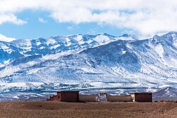
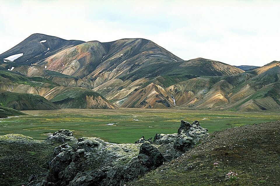
    The High Atlas, also called the Grand Atlas, is a mountain range in central Morocco, North Africa, the highest part of the Atlas Mountains.

    Read more on Wikipedia ↗

    Photo: Ralf Steinberger · CC BY 2.0

Comments