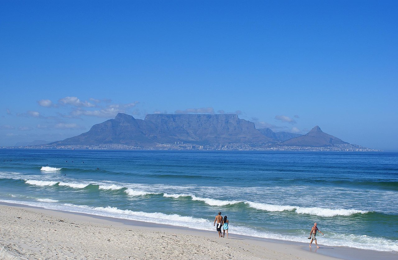
From Tafelberg Road the path traverses to the mouth of Platteklip Gorge and then climbs hard up the cleft to the plateau, from where a short walk leads to Maclear’s Beacon and on to the Upper Cableway Station.
Segments
- Contour path to the gorge
Tafelberg Road trailhead → Foot of Platteklip Gorge
Stony contour path
Follow the well-worn contour path east from the roadside trailhead below the cliffs until it swings up towards the obvious deep cleft of Platteklip Gorge. About 20–30 minutes.
- The Platteklip Gorge climb
Foot of Platteklip Gorge → Top of the gorge
Steep rock steps and zigzags
The heart of the walk: a relentless climb of rough rock steps and zigzags up the shadeless gorge, gaining about 600 m to emerge suddenly onto the flat summit. Roughly 1.5–2 hours.
-
 Across to Maclear's Beacon
Top of the gorge → Maclear's Beacon
Rocky plateau path
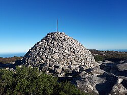
Walk east across the summit plateau, through fynbos and over sandstone, to Maclear's Beacon — a stone cairn built in 1865 marking the mountain's true high point at about 1,086 m.
About this place
Maclear's Beacon is a triangulation station used in Maclear's arc measurement for Earth's circumference determination.
Read more on Wikipedia Photo: Barry Ne · CC BY-SA 4.0 -
 To the cableway station
Maclear's Beacon → Upper Cableway Station
Plateau path
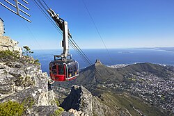
Follow the plateau paths west to the Upper Cableway Station, with sweeping views over Cape Town, Table Bay and the Atlantic. Ride the rotating cable car down, or return the way you came.
About this place
The Table Mountain Aerial Cableway is a cable car transportation system offering visitors a five-minute ride to the top of Table Mountain in Cape Town, South Africa. It is one of Cape Town's most popular tourist attractions with approximately one million people a year using the Cableway.
Read more on Wikipedia Photo: Fazielah Williams · CC BY-SA 4.0
Comments
Sign in to join the conversation.
No comments yet — be the first.