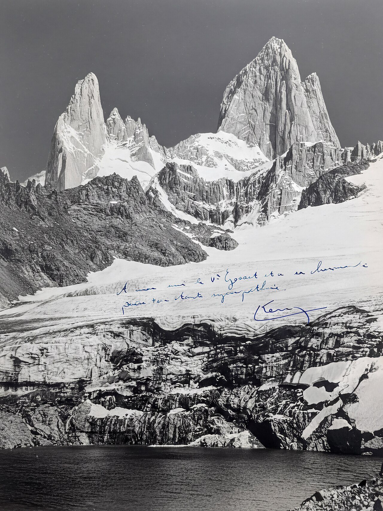
A long rolling approach through lenga forest with Fitz Roy growing ahead of you, a brutal final climb, and a glacial lagoon at the base of the granite. Then the same way home.
Segments
-
 Out of town to Mirador Fitz Roy
Sendero al Fitz Roy trailhead, north El Chaltén → Mirador Fitz Roy
Steady switchbacks on open hillside
The steepest sustained climbing of the approach comes right at the start, switchbacking out of town above the Río de las Vueltas. Within an hour you reach the first viewpoints and get your answer about whether the mountain is out today.
About this place
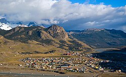
El Chaltén is a small mountain village in Santa Cruz Province, Argentina. It is located on the riverside of Rio de las Vueltas, within the Los Glaciares National Park near the base of Cerro Torre and Cerro Fitz Roy spires, both popular for climbing. It is 220 kilometres (140 mi) north of El Calafate. It is also a popular base for hiking numerous trails, such as those to the base of surrounding peaks and glacial lakes, such as Laguna Torre and Laguna de los Tres.
Read more on Wikipedia Photo: David · CC BY 2.0 - Laguna Capri
Mirador Fitz Roy → Laguna Capri
Rolling trail through lenga forest
Easy walking through southern beech forest to Laguna Capri, a small lake that frames Fitz Roy across the water. A short detour off the main trail and the classic reflection shot of the day.
-
 The traverse to Poincenot
Laguna Capri → Campamento Poincenot
Flat valley trail, boardwalk over bog
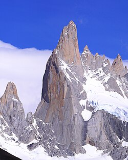
Cross open moor and boardwalked bog with the whole Fitz Roy massif — and Cerro Torre off to the left — laid out ahead. Campamento Poincenot is a free, first-come forest campsite and the staging point for the climb.
About this place
Los Glaciares National Park is a federal protected area in Santa Cruz Province, Argentina.
Read more on Wikipedia Photo: Wikimedia Commons · CC BY-SA 2.0 -
 The moraine wall
Campamento Poincenot → Laguna de los Tres
Steep loose boulders and scree
Cross the Río Blanco and start up. About 400 m of gain in roughly a kilometre of loose rock and switchbacks — an hour of pure grind, exposed to the wind. Top out on the rim and Laguna de los Tres opens below you, meltwater under the sheer granite of Fitz Roy, with Laguna Sucia hidden in the drop beyond.
About this place
Aguja Poincenot is a mountain in Santa Cruz Province, Argentina.
Read more on Wikipedia Photo: Martin St-Amant · CC BY-SA 3.0 - The long way home
Laguna de los Tres → El Chaltén
Steep descent, then rolling trail
Pick your way back down the moraine — slower and more treacherous than the ascent on tired legs — then retrace the rolling approach. There is more uphill on the return than anyone expects. Aim to be back in town for a beer at La Cervecería.
About this place
El Chaltén is a small mountain village in Santa Cruz Province, Argentina. It is located on the riverside of Rio de las Vueltas, within the Los Glaciares National Park near the base of Cerro Torre and Cerro Fitz Roy spires, both popular for climbing. It is 220 kilometres (140 mi) north of El Calafate. It is also a popular base for hiking numerous trails, such as those to the base of surrounding peaks and glacial lakes, such as Laguna Torre and Laguna de los Tres.
Read more on Wikipedia Photo: David · CC BY 2.0
Comments
Sign in to join the conversation.
No comments yet — be the first.