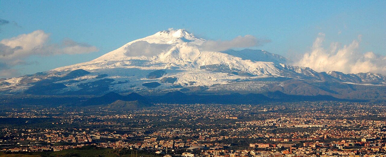
The full south-side day: a short lava walk at the road head, a mechanical lift through the middle of the mountain, and a guided ascent onto the active summit — with the Valle del Bove as the parting view.
Segments
- The Silvestri craters
Rifugio Sapienza car park → Silvestri craters loop
Loose pumice and cinder cones
Start at the road head with the easiest thing on the mountain: a loop around the Silvestri craters, a pair of extinct cinder cones left by a 19th-century flank eruption and now a red-black cindery playground right beside the car park. Twenty minutes, no guide, and a useful first taste of how the ground here behaves underfoot.
- Cable car into the ash desert
Rifugio Sapienza (about 1,900 m) → Upper cable car station (about 2,500 m)
Cable car over lava flows
The Funivia dell'Etna lifts you off the treeline and over the lava in about 15 minutes, climbing roughly 600 m to the upper station at about 2,500 m. Vegetation stops partway up and does not come back. Check that the cable car is actually running before you drive up — it stops for wind, and in poor conditions the whole mountain closes below you.
- Up to Torre del Filosofo
Upper cable car station → Torre del Filosofo (about 2,900 m)
Pumice track and ash slope
From the upper station a fleet of 4x4 buses grinds up a pumice track to the plateau at about 2,900 m known as Torre del Filosofo — the philosopher's tower, named for a building repeatedly buried by eruptions. You can walk this stretch instead in about 1.5–2 hours, though it is unrelenting ash. This is as high as you are allowed to go unguided, and for many visitors it is the sensible turnaround.
- Guided ascent to the crater rim
Torre del Filosofo → Summit crater area (about 3,300–3,400 m)
Steep ash, fumaroles, sometimes snow
From here on an authorised guide is compulsory. The path steepens into loose ash for a climb of about 1.5 hours towards the summit complex — the Voragine, the Bocca Nuova, the North-East Crater and the twin South-East Craters — where sulphur steams out of the ground and the rock is warm to the touch. How close you get is decided on the day by the guide and by the volcano, not by you.
-
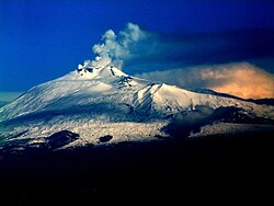 The Valle del Bove rim
Summit crater area → Valle del Bove viewpoint
Descending ash traverse to a cliff edge
Traverse out on the descent to the rim of the Valle del Bove, the vast horseshoe gouged from Etna's eastern flank when the mountainside catastrophically collapsed — research suggests around 8,000 years ago, possibly triggering a tsunami. Its walls expose layer on layer of Etna's eruptive history, and centuries of lava have poured into it. Then it is back down the ash, the buses and the cable car to Sapienza.
About this place
This is a list of volcanic eruptions from Mount Etna, an active stratovolcano on the Italian island of Sicily that is currently erupting. These eruptions have taken place from summit craters and flank vents, the latter of which are less frequently active, but typically issue volcanic material at higher rates. The earliest reported eruption took place in 1500 BCE, making volcanism at Mount Etna one of the longest documented on Earth. Most of the documented eruptions from Mount Etna have ranked 1–3 on the Volcanic Explosivity Index, but infrequent VEI-0, VEI-4 and VEI-5 eruptions have also been recorded since 1500 BCE.
Read more on Wikipedia Photo: Josep Renalias · CC BY 2.5
Comments
Sign in to join the conversation.
No comments yet — be the first.