← All routes
Trek Dolomites — South Tyrol to Belluno, Italy

Alta Via 1 — The Classic Dolomites High Route

A six-day rifugio-to-rifugio highlights traverse of the Dolomites, from the emerald water of Lago di Braies over WWI passes and beneath the great walls of Civetta and Pelmo down towards Belluno.

Alta Via 1 — The Classic Dolomites High Route
Photo: Clemens Stockner · Public domain
Duration
6 days
Distance
120 km
Ascent
6500 m
Difficulty
Hard
Best season
Late June–September, once the rifugios open and the high passes are clear of snow

The Alta Via 1 is the most famous of the Dolomites high routes — a north-to-south traverse that links a chain of mountain refuges (rifugios) across some of the most dramatic limestone scenery in the Alps. The full trail runs about 120 km from Lago di Braies to the edge of Belluno; this itinerary compresses it into a six-day highlights version for strong walkers, stringing together its signature passes, plateaus and rock walls.

Unlike the Inca Trail or a wilderness trek, the Alta Via 1 needs no tent: each night is spent in a staffed rifugio with a bunk and a hot meal. That makes it approachable, but the daily distances here are long and the terrain is genuinely alpine — steep ascents, exposed traverses and rocky descents.

Getting there. The northern trailhead at Lago di Braies (Pragser Wildsee) is reached by bus from Dobbiaco/Toblach, itself served from Bolzano and Cortina d’Ampezzo. The route finishes near Belluno, from where trains and buses run to Venice.

Rifugios & booking. Rifugios are open roughly late June to late September and must be booked in advance in high season — half board (dinner, bed, breakfast) is the norm. Carry cash, earplugs and a sleeping-bag liner.

Good to know:

Day 1

Lago di Braies to Rifugio Fanes

Lago di Braies (1,494 m) → Rifugio Fanes 18 km ↑ 1150 m

The route’s gentle-looking start belies a steep first climb; once on the plateau it eases into rolling alpine pasture dotted with rifugios.

Segments

  1. The lake and the climb to Sennes
    The lake and the climb to Sennes 8 km ↑ 850 m

    Lago di Braies → Rifugio Biella (2,327 m)

    Lakeshore then steep switchbacks

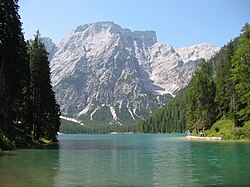
    Skirt the emerald shore of Lago di Braies, then climb steeply on zig-zags to the Sennes plateau and Rifugio Biella, the first hut of the route. About 3.5 hours.

    About this place

    The Pragser Wildsee, or Lake Prags, Lake Braies is a natural lake in the Prags Dolomites in South Tyrol, Italy. It belongs to the municipality of Prags which is located in the Prags Valley.

    Read more on Wikipedia ↗

    Photo: STirol · CC BY-SA 3.0

  2. Across the Sennes and Fanes plateaus
    Across the Sennes and Fanes plateaus 10 km ↑ 300 m

    Rifugio Biella → Rifugio Fanes

    High karst pasture

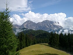
    Cross the broad, gently rolling grasslands of the Fanes-Sennes-Prags nature park, past grazing cattle and karst pools, to the welcoming Rifugio Fanes. About 3 hours.

    About this place

    The Fanes-Sennes-Prags Nature Park is a nature reserve in the Dolomites in South Tyrol, Italy.

    Read more on Wikipedia ↗

    Photo: Alex1011 · CC BY-SA 3.0
Day 2

Rifugio Fanes to Rifugio Lagazuoi

Rifugio Fanes → Rifugio Lagazuoi (2,752 m) 14 km ↑ 950 m

A scenic day that climbs steadily to one of the great viewpoints of the Dolomites, riddled with First World War tunnels.

Segments

  1. Fanes valley to Passo di Limo 6 km ↑ 200 m

    Rifugio Fanes → Lago di Limo / Passo di Limo

    Valley path

    Follow the trail past the small lake at Passo di Limo and the alpine meadows of the upper Fanes, ringed by pale peaks. About 2 hours.

  2. Climb to the Lagazuoi terrace
    Climb to the Lagazuoi terrace 8 km ↑ 750 m

    Passo di Limo → Rifugio Lagazuoi (2,752 m)

    Steep mountain trail, WWI tunnels nearby

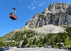
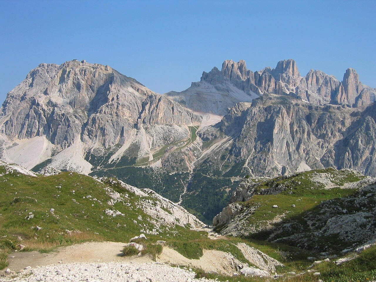
    A long, steady climb gains the ridge and Rifugio Lagazuoi, perched on its dizzying terrace above the Falzarego pass with one of the widest panoramas on the whole route. The mountain is honeycombed with First World War tunnels. About 3.5 hours.

    About this place

    Lagazuoi is a mountain in the Dolomites of northern Italy, lying at an elevation of 2,835 metres (9,301 ft), about 18 kilometres (11 mi) southwest by road from Cortina d'Ampezzo in the Veneto Region. The mountain is part of the Ampezzo Dolomites Natural Park.

    Read more on Wikipedia ↗

    Photo: kallerna · CC BY-SA 4.0

Day 3

Rifugio Lagazuoi to Rifugio Nuvolau

Rifugio Lagazuoi → Rifugio Nuvolau (2,575 m) 12 km ↑ 700 m

A short but spectacular day linking two open-air WWI museums with the airy summit rifugio of Nuvolau.

Segments

  1. Descent to Cinque Torri
    Descent to Cinque Torri 6 km ↑ 150 m

    Rifugio Lagazuoi → Cinque Torri

    Rocky descent, restored trenches

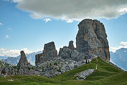
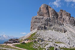
    Descend from Lagazuoi towards the striking rock towers of Cinque Torri, an open-air museum of restored First World War trenches and gun positions. About 2.5 hours.

    About this place

    Cinque Torri comprise a small rock formation belonging to Nuvolao group in the Dolomiti Ampezzane northwest of San Vito di Cadore and southwest of Cortina d'Ampezzo.

    Read more on Wikipedia ↗

    Photo: Luca Sartoni from Vienna, Austria · CC BY-SA 2.0

  2. Up to Nuvolau by way of Averau
    Up to Nuvolau by way of Averau 6 km ↑ 550 m

    Cinque Torri → Rifugio Nuvolau (2,575 m)

    Steep rocky climb

    Climb past Rifugio Averau to the little Rifugio Nuvolau, perched on its summit — the oldest hut in the Dolomites and, at sunset, one of the finest grandstands in the range. About 2.5 hours.

    About this place

    Averau (2,649m) is the highest mountain of the Nuvolau Group in the Dolomites, located in the Province of Belluno, northern Italy. It lies between the Falzarego Pass and the Giau Pass. The mountain is usually climbed from its northern face, which is less steep than its other faces, by the Averau ferrata. The view from the summit takes in many of the Dolomitic giants, including Monte Civetta, Monte Pelmo, Antelao and Sorapiss.

    Read more on Wikipedia ↗

    Photo: kallerna · CC BY-SA 4.0

Day 4

Rifugio Nuvolau to Rifugio Coldai

Rifugio Nuvolau → Rifugio Sonino al Coldai 21 km ↑ 1150 m

A long, varied day crossing a famous pass and rounding one of the Dolomites’ most imposing mountains.

Segments

  1. Descent to the Giau Pass
    Descent to the Giau Pass 7 km ↑ 150 m

    Rifugio Nuvolau → Giau Pass (2,236 m)

    Meadow descent

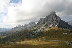
    Drop down flower meadows to the Giau Pass, a high road col with sweeping views back to Averau and Nuvolau. About 2.5 hours.

    About this place

    The Giau Pass (el. 2236 m.) is a high mountain pass in the Dolomites in the province of Belluno in Italy. It connects Cortina d'Ampezzo with Colle Santa Lucia and Selva di Cadore.

    Read more on Wikipedia ↗

    Photo: Frisia Orientalis · CC BY-SA 3.0

  2. Around Monte Pelmo to Coldai
    Around Monte Pelmo to Coldai 14 km ↑ 1000 m

    Giau Pass → Rifugio Sonino al Coldai

    Traversing paths beneath cliffs

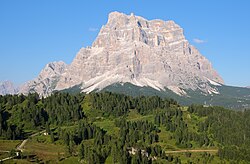
    Traverse via Rifugio Città di Fiume and the forcelle beneath the great tabletop bulk of Monte Pelmo, then climb to Rifugio Sonino al Coldai below the Civetta wall. About 5 hours.

    About this place

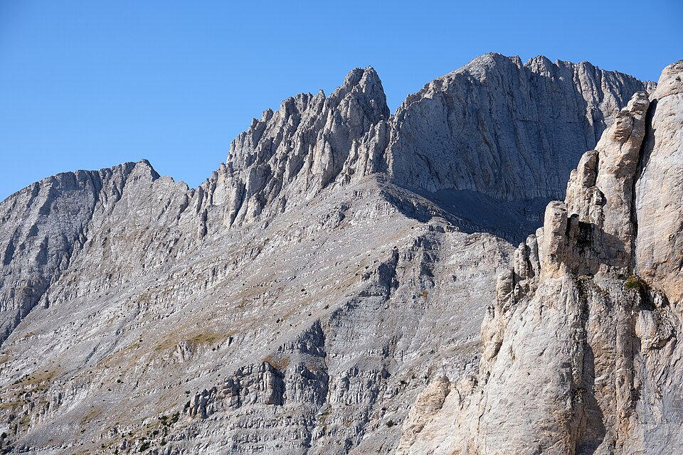
    Monte Pelmo is a mountain of the Dolomites, in the province of Belluno, Northeastern Italy.

    Read more on Wikipedia ↗

    Photo: kallerna · CC BY-SA 4.0

Day 5

Rifugio Coldai to Rifugio Carestiato

Rifugio Sonino al Coldai → Rifugio Carestiato 18 km ↑ 950 m

The signature day of the southern route, walking the length of one of the highest rock faces in the Alps.

Segments

  1. Lago Coldai and the Civetta wall
    Lago Coldai and the Civetta wall 8 km ↑ 350 m

    Rifugio Sonino al Coldai → Rifugio Tissi

    High traverse

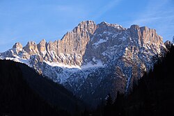
    Cross a saddle to the jewel-like Lago Coldai, then traverse beneath the vast northwest wall of Monte Civetta to Rifugio Tissi, famous for its face-on view of the mountain. About 3 hours.

    About this place

    Monte Civetta is a prominent and major mountain of the Dolomites, in the Province of Belluno in northern Italy. Its north-west face can be viewed from the Taibon Agordino valley, and is classed as one of the symbols of the Dolomites.

    Read more on Wikipedia ↗

    Photo: kallerna · CC BY-SA 4.0

  2. Vazzoler to Carestiato 10 km ↑ 600 m

    Rifugio Tissi → Rifugio Carestiato

    Forest and rock traverse

    Descend through larch woods to Rifugio Vazzoler beneath the Moiazza towers, then traverse to Rifugio Carestiato for the night. About 3.5 hours.

Day 6

Rifugio Carestiato to Belluno

Rifugio Carestiato → La Pissa bus stop (for Belluno) 25 km ↑ 1000 m

The longest and most remote day, crossing the untamed Schiara massif before the long descent off the mountains.

Segments

  1. Across to Rifugio Pramperet 11 km ↑ 600 m

    Rifugio Carestiato → Rifugio Pramperet

    Remote high traverse

    A quiet, wild traverse over forcelle and through the Van de Zità basins into the heart of the Dolomiti Bellunesi to Rifugio Pramperet. About 4 hours.

  2. Under Schiara down to Belluno
    Under Schiara down to Belluno 14 km ↑ 400 m

    Rifugio Pramperet → La Pissa bus stop

    Rocky pass then long forest descent

    Cross the high ground beneath Monte Schiara, past Rifugio Pian de Fontana, then descend steeply through forest to the La Pissa bus stop, where the road runs down to Belluno and the journey's end. About 4 hours.

    About this place

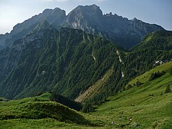
    The Schiara is a mountain in the southern Dolomites of Veneto in northern Italy. It is located just north of the town of Belluno, approximately 50 miles north of Venice. Monte Schiara has an elevation of 2,565 metres.

    Read more on Wikipedia ↗

    Photo: Matzele · CC BY-SA 4.0