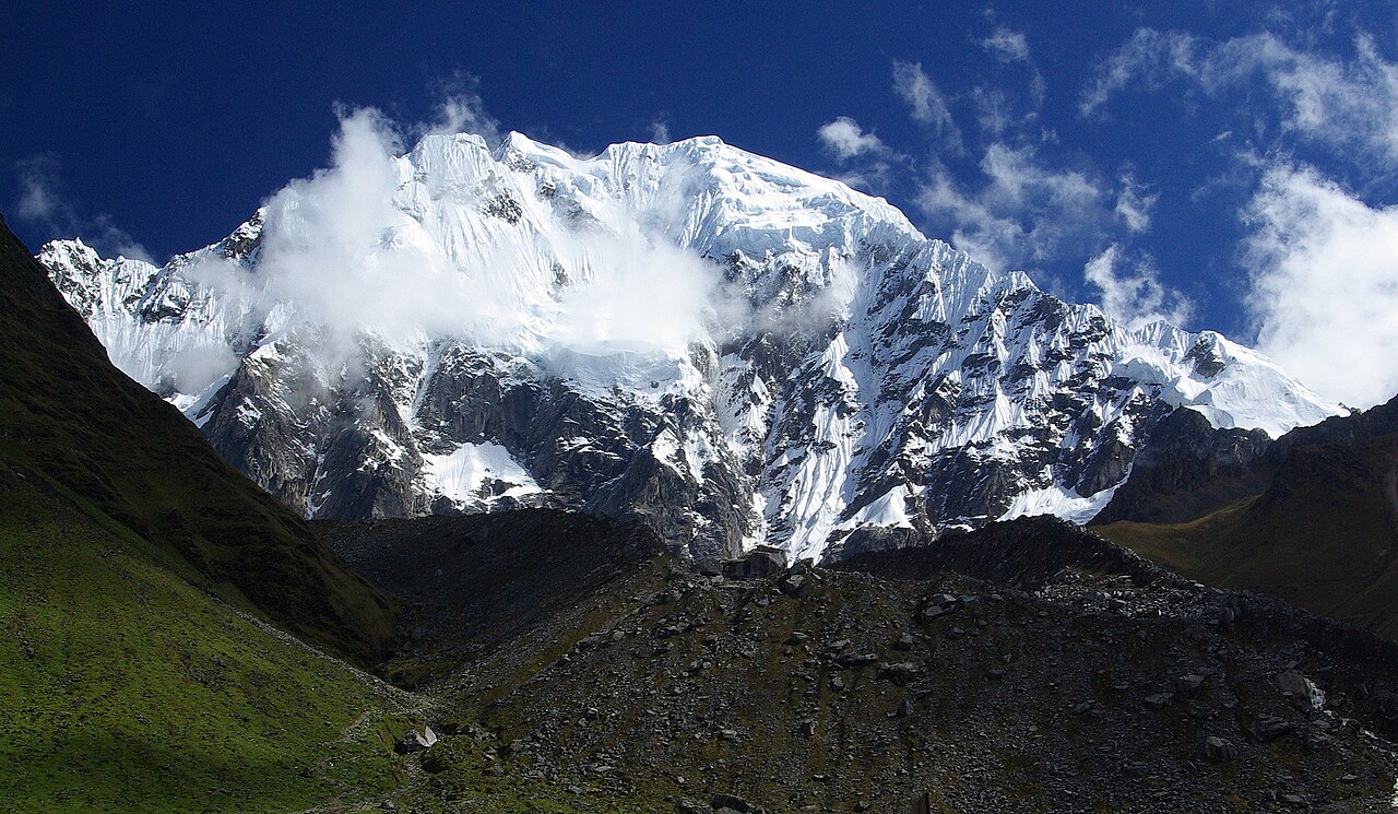
Transport from Cusco delivers you to the trailhead above Mollepata. A steady walk along an irrigation-canal path brings the first sight of Salcantay’s ice, then camp at Soraypampa, with an afternoon climb to Humantay Lake to help the body adjust.
Segments
-
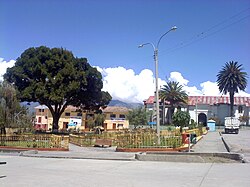 Challakancha to Soraypampa
Challakancha trailhead → Soraypampa
Canal path and open Andean valley
From the road-head above Mollepata, follow a gently rising path beside an irrigation canal with the valley opening ahead. Salcantay's south face appears late in the walk and is the first real sense of what the week holds. About 3 hours.
About this place
Mollepata District is one of nine districts of the province Anta, in the Department of Cuzco, in Peru. The Mollepata trek or Salkantay trek, an alternative route to the Inca Trail to Machu Picchu, passes through the Vilcabamba Range from Mollepata to Santa Teresa. The Mollepata trek is considered harder than the Classic trek because of its height and remoteness.
Read more on Wikipedia Photo: Mariolimber · CC BY-SA 4.0 -
 Humantay Lake detour
Soraypampa → Humantay Lake (about 4,200 m) and back
Steep moraine switchbacks
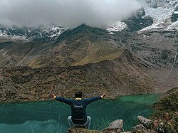
A short, steep afternoon climb up moraine to a glacial lake sitting under Humantay, a 5,473 m peak in the Vilcabamba Range. The meltwater is a startling turquoise. It is hard work at this altitude but pays for itself the next morning. About 3 hours return.
About this place
Humantay is a 5,473 metres (17,956 ft) mountain in the Vilcabamba Range in the Andes of Peru. It is located in the region of Cusco.
Read more on Wikipedia Photo: Lizandroconde · CC BY-SA 4.0
Comments
Sign in to join the conversation.
No comments yet — be the first.