← All routes
Trek Pieria / Thessaly — Olympus National Park, Greece

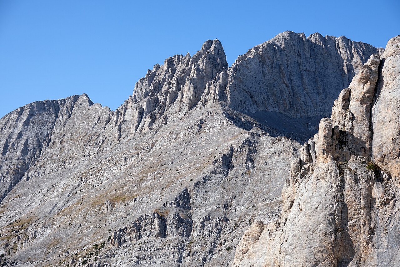
Mount Olympus — Prionia to Mytikas, the Home of the Gods

Two days from the Prionia trailhead through beech forest to Refuge A, then up to Skala and across the exposed Kaki Skala scramble to Mytikas (2,918 m), the highest point in Greece.

Mount Olympus — Prionia to Mytikas, the Home of the Gods
Photo: kallerna · CC BY-SA 4.0
Duration
2 days
Distance
18 km
Ascent
1900 m
Difficulty
Hard
Best season
Late June to early October, when the high refuges are staffed and the summit ridge is clear of snow

Olympus is the mountain the ancient Greeks gave to their gods, and it still behaves like one — forested and gentle at the bottom, bare limestone and weather at the top. The standard route climbs from Prionia at about 1,100 m through the Enipeas gorge forest to the Spilios Agapitos refuge at 2,100 m, sleeps there, and goes for the summit at first light.

The sting is in the last twenty minutes. Above Skala the route crosses the Kaki Skala — the ‘Bad Stairway’ — a YDS class 3 rock scramble along a ridge with serious exposure. There is no technical gear required in good conditions, but there is nothing between you and a long drop, and it is not a place for anyone uneasy with heights. Most walkers sensibly stop at Skolio, the second summit at 2,911 m, which has arguably the better view of the whole massif anyway.

Getting there. Base yourself in Litochoro, reachable by bus or train from Thessaloniki. A rough 18 km road (taxi or your own car) leads up to the Prionia trailhead, where there is a spring and a small taverna. Litochoro–Prionia can also be walked through the Enipeas gorge as an extra day.

Refuges. Refuge A (Spilios Agapitos) at 2,100 m is the pivot of the whole trip and must be booked ahead in summer — it fills. The higher refuges, Christos Kakalos and Giosos Apostolidis, run roughly May/June to October. Outside the refuge season this becomes a serious mountaineering objective, not a hike.

Good to know:

Day 1

Prionia to Refuge A (Spilios Agapitos)

Prionia (1,100 m) → Refuge A — Spilios Agapitos (2,100 m) 6 km ↑ 1000 m
Navigate this day

The E4 path leaves Prionia and climbs relentlessly but pleasantly through beech and black pine, gaining a thousand metres to the refuge balcony with its view over the Enipeas valley.

Segments

  1. Into the beech forest 3 km ↑ 500 m 📍 Map

    Prionia trailhead → Forest switchbacks

    Well-marked forest path

    Fill your bottles at the Prionia spring and start up the E4 immediately — there is no warm-up. The path switchbacks through deep beech forest on good tread, shaded almost the whole way. About 1.5 hours.

  2. Up to the refuge balcony 3 km ↑ 500 m 📍 Map

    Forest switchbacks → Refuge A — Spilios Agapitos

    Steeper forest path, black pine

    Beech gives way to black pine as the grade steepens. The refuge appears suddenly on its balcony at 2,100 m, looking out over the Enipeas valley to the sea. Book ahead, eat early, and sleep — the summit day starts before dawn. About 1.5 hours.
Day 2

Skala, Mytikas and Skolio

Refuge A — Spilios Agapitos → Prionia 12 km ↑ 900 m
Navigate this day

Leave the refuge at first light, break out above the treeline onto open scree, and commit to the ridge. Mytikas, then the easier second summit at Skolio, then everything you climbed yesterday, in reverse.

Segments

  1. Treeline to Skala 2.5 km ↑ 770 m 📍 Map

    Refuge A (2,100 m) → Skala (about 2,870 m)

    Scree and alpine rock

    The trees end almost at once and the mountain shows its real face: open scree, alpine rock, and wind. Climb steadily to the ridge at Skala, where the whole summit block and the Stefani 'Throne of Zeus' come into view. About 2.5 hours.

  2. Kaki Skala to Mytikas
    Kaki Skala to Mytikas 0.4 km ↑ 60 m 📍 Map

    Skala → Mytikas (2,918 m)

    Class 3 scramble, high exposure

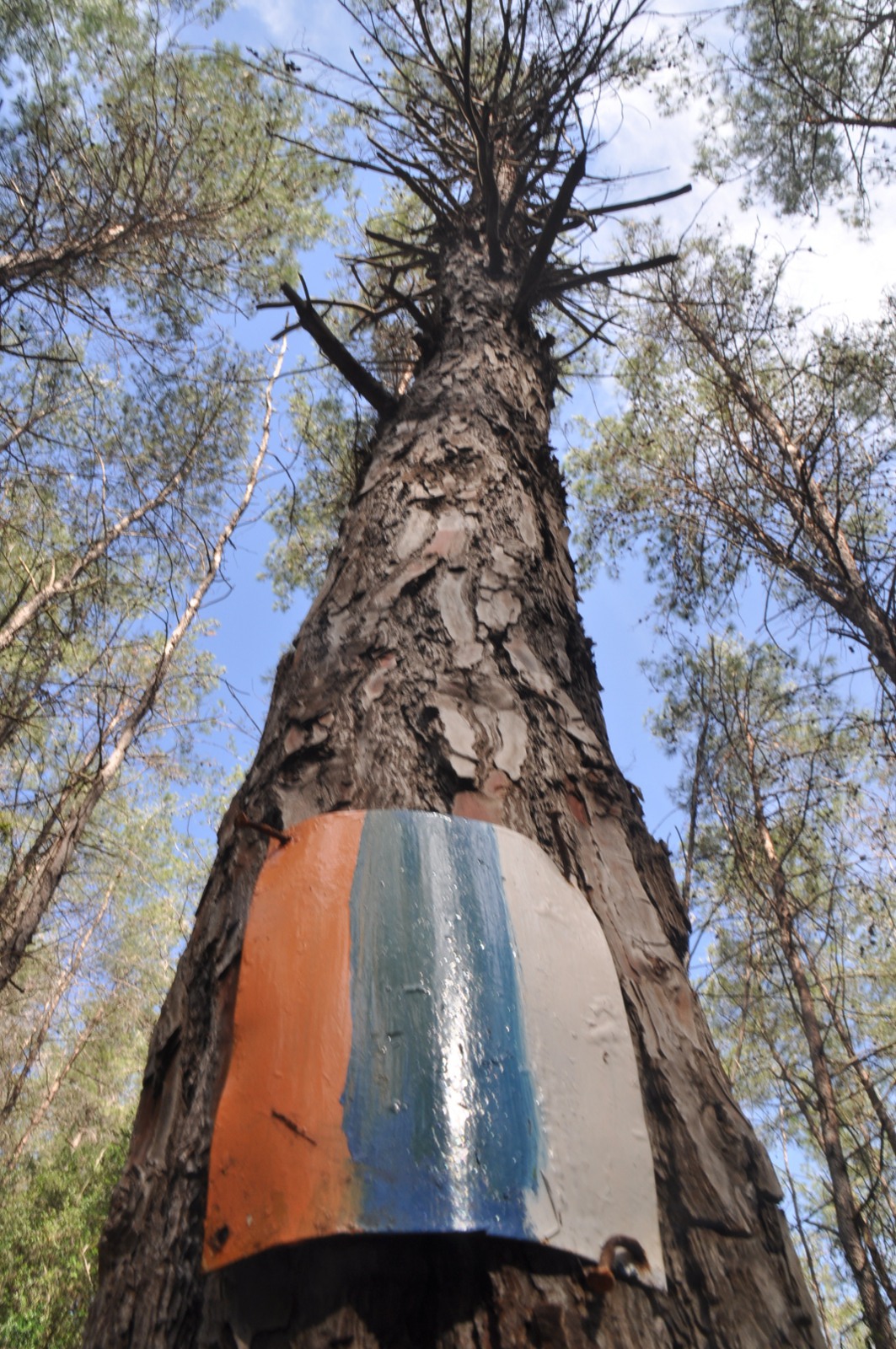
    The Kaki Skala — the 'Bad Stairway'. A YDS class 3 scramble on solid but heavily polished rock, following painted marks along a ridge with real exposure on both sides. Hands are needed; a head for heights is needed more. Around 40 minutes each way, and turn back without shame if the weather moves in.

    About this place

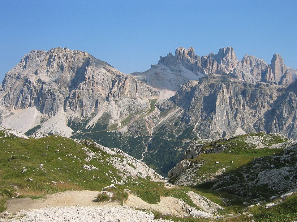
    Mount Olympus is an extensive massif near the Thermaic Gulf of the Aegean Sea, in Greece, located on the border between Thessaly and Macedonia, between the regional units of Larissa and Pieria, about 80 km (50 mi) southwest from Thessaloniki. Mount Olympus has 52 peaks and deep gorges. The highest peak, Mytikas, meaning "nose", rises to 2,917.727 metres (9,572.60 ft) and is the highest peak in Greece, and one of the highest peaks in Europe in terms of topographic prominence.

    Read more on Wikipedia ↗

    Photo: kallerna · CC BY-SA 4.0

  3. The second summit — Skolio 1 km ↑ 45 m 📍 Map

    Skala → Skolio (2,911 m)

    Broad walking ridge

    Back at Skala, an easy walking ridge leads south to Skolio, at 2,911 m the second summit of Olympus — six metres lower than Mytikas and no scrambling at all. It looks straight down the huge Kazania cirque, and many would say it is the better viewpoint. About 30 minutes.

  4. The long way down
    The long way down 8.5 km ↑ 0 m 📍 Map

    Skala → Prionia

    Scree, then forest path

    Retrace the scree to Refuge A for a coffee, then drop the full thousand metres back through the forest to Prionia. It is longer on the knees than anyone expects — poles earn their place here. About 4 hours.

    About this place

    Litochoro is a town and a former municipality in the southern part of the Pieria regional unit, Macedonia, Greece. Since the 2011 local government reform it has been part of the Dio-Olympos municipality, of which it is the seat and a municipal unit. It is located at the base of Mount Olympus, on the western shore of the Thermaic Gulf. The first recorded mention of Litochoro is in an account of a visit by Saint Dionysius to Mount Olympus in the 16th century. The town is a popular destination for those wishing to climb Mount Olympus as almost all climbing routes begin to the southwest of the town.

    Read more on Wikipedia ↗

    Photo: Mboesch · CC BY-SA 4.0

Comments