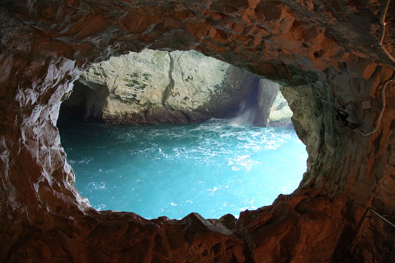
A compact half-day at the northwestern tip of the country, from the cliff-top plaza down to sea level and back.
Segments
- The cable car down the white cliff
Upper station → Lower station at sea level
Cable car
The visit begins by going down. The cabin drops the face of the chalk cliff at a 60-degree gradient — advertised as the steepest cable car in the world — and the whole ride lasts roughly a minute. Sit facing out: the wall of white rock slides past on one side and open Mediterranean fills the other.
- Into the grottoes
Lower station → The sea caverns
Wet stone walkway inside caves
The grottoes are hollows the sea itself carved out of the soft chalk, branching for some 200 metres and interconnecting in places. A walkway threads through them just above the waterline, where the swell surges in, turns turquoise against the white rock, and thumps back out again. Allow about 45 minutes and expect to get lightly splashed.
-
 The Mandate railway tunnel
The grottoes → The sealed tunnel mouth
Rock-cut tunnel
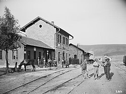
In 1942, British Army engineers — New Zealand and South African units — quarried a tunnel through this headland to carry the wartime railway from Haifa on to Beirut and Tripoli. It ran for barely six years: in 1948 the bridge here was blown up to sever the line to Lebanon, and the rails have been silent ever since. Walk the tunnel to where it is sealed off, and watch the archival footage screened inside.
About this place
Palestine Railways was a government-owned railway company that ran all public railways in the League of Nations mandate territory of Palestine from 1920 until 1948. Its main line linked El Kantara in Egypt with Haifa. Branches served Jaffa, Jerusalem, Acre and the Jezreel Valley.
Read more on Wikipedia Photo: Campbell, James Pinkerton · Public domain -
 Back up to the border gate
Lower station → Rosh HaNikra crossing viewpoint
Cable car and paved path
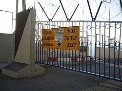
Ride back up and walk to the fence. The border crossing into Lebanon sits right here, closed to ordinary travellers and manned by UN vehicles and Israeli soldiers — a rare chance to stand at a frontier that has been shut for most of a lifetime and look straight down the coast into another country.
About this place
The Rosh HaNikra Crossing, also known as Ras Al Naqoura Crossing, is an international border crossing between Naqoura, Lebanon and Rosh HaNikra, Israel. The terminal is operated solely by the United Nations Interim Force in Lebanon and the Israel Defense Forces. The passage of regular tourists/visitors is forbidden.
Read more on Wikipedia Photo: campsmum · CC BY 2.0 -
 The cliff-top viewpoint south
Border gate → Cliff-top viewpoint
Paved cliff-top path
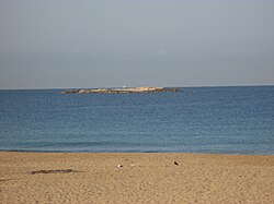
Finish on the southern edge of the headland, where the view runs down the coast over the Rosh HaNikra Islands — three small islands about 800 metres offshore, made of the same rock as the cape and left as a seabird reserve — and on past the Achziv coast towards Nahariya and, on a clear day, Haifa.
About this place
The Rosh HaNikra Islands are a group of three Israeli islands in the Mediterranean Sea, named Shahaf, Nahalieli and T'chelet. The islands are located approximately 800 meters offshore, near Rosh HaNikra. These islands are a single geological unit with the Achziv Islands, that are further south. The depth of the sea water around them is approximately between 7 and 9 meters. The Rosh HaNikra Islands are characterized by many natural pools that provide a natural habitat for various life forms.
Read more on Wikipedia Photo: מיכאל פלג · CC BY-SA 3.0
Comments
Sign in to join the conversation.
No comments yet — be the first.