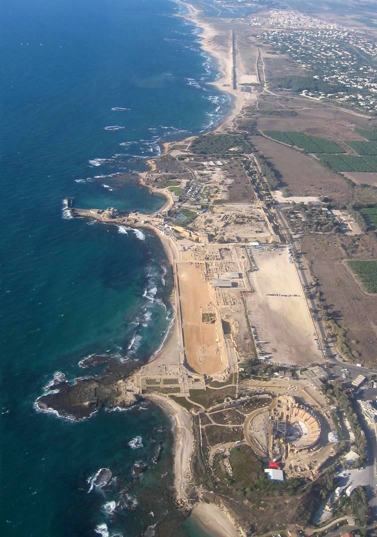
A single easy walk along the coast, from the Roman theatre through Herod’s city to the Crusader harbour and on to the aqueduct beach.
Segments
- The Roman theatre
Southern park entrance → Roman theatre
Paved paths and stone seating
Begin in the oldest Roman theatre yet found in Israel, built under Herod and looking straight out over the Mediterranean. Climb the restored semicircle of stone seats — it once held thousands for plays and spectacles, and after a modern rebuild it hosts concerts again today. Allow about 30 minutes.
- Herod's promontory palace
Roman theatre → Promontory palace
Paved paths and excavated ruins
Walk out onto the rocky spur where Herod built his private palace jutting into the sea, its centrepiece a decorative pool ringed by colonnades and lapped by waves on three sides. Later it became the governor's residence, and this is very likely where the apostle Paul was held and tried before being sent to Rome. About 20 minutes.
- The hippodrome
Promontory palace → Herodian hippodrome
Sandy arena floor
Stand on the long U-shaped track of Herod's chariot-racing hippodrome, set right beside the shore with tiered seating for thousands. Chariot races and athletic games were held here every five years, and you can still see the curved end and the banks where the crowds once roared. About 20 minutes.
- The Crusader city & harbour
Hippodrome → Crusader harbour
City streets and rampart paths
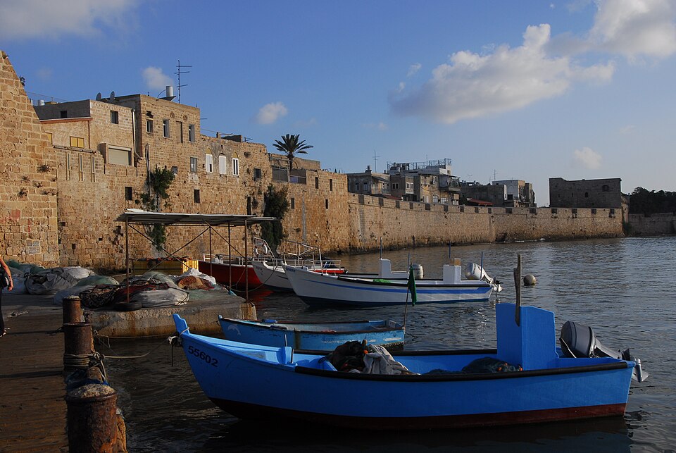
Pass through the deep moat and vaulted gate of the medieval town, fortified by Louis IX of France in 1251, whose high walls still stand. Beyond them lies the harbour: Herod's engineers built one of the great artificial ports of the ancient world here, 'Sebastos', dedicated to Augustus, using hydraulic concrete that set underwater. Cafés and boats now fill the sheltered basin. About 45 minutes.
- The aqueduct beach
Crusader harbour → High-level aqueduct on the beach
Beach and sand
End on the sand beside the high-level aqueduct that carried spring water some ten kilometres from the slopes of Mount Carmel to the thirsty city. Its long line of arches marches out of the dunes and along the shore — begun under the Romans and doubled in width to meet the growing city's needs. A fine place to swim as the day closes. A short walk or drive north of the main park.
Comments
Sign in to join the conversation.
No comments yet — be the first.