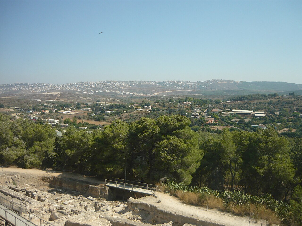
A compact circuit of the hill, from the theatre on the northern slope to the mosaics, the Crusader keep and the reservoirs below.
مقاطع
- The Roman theatre
Park entrance ← Theatre, northern slope
Gravel park paths
Begin on the northern slope, where a theatre about 45 m across once seated roughly 4,500 people. Most of it was carved directly into the hillside, with the remaining sections carried on stone pillars — a good measure of how large and how Roman this Galilean town really was. About 30 minutes.
- The Mona Lisa of the Galilee
Theatre ← The Dionysus villa
Covered excavation
The reason most people come. In a Roman villa built around 200 CE, the dining-room floor carries some fifteen panels of Dionysus, god of wine and good company, with Pan and Hercules alongside. In one corner is the face — a young woman, possibly Venus, so alive in her small stone tiles that she was long ago nicknamed the 'Mona Lisa of the Galilee'. She is worth sitting down for. About 45 minutes.
- The Nile House
Dionysus villa ← Nile House, lower city
Covered excavation
A large public building of the fifth century whose intricate floor is given over to the Nile: the measuring of the flood and the festivals that celebrated it — an Egyptian river, honoured in mosaic, in a hill town in the Galilee. Drainage channels in the floor suggest it may have been deliberately flooded during the rites. Around 30 minutes.
- The Crusader fortress
Nile House ← The keep, hilltop
Path up to the summit
Climb to the square keep on the crown of the hill — roughly 15 m by 15 m and about 10–12 m high — built by the Crusaders in the 12th century on older foundations. From this fortress the Crusader army marched out to Hattin in 1187, and did not come back. Daher al-Umar rebuilt parts of it in the 18th century; later it served as a village school. Climb it for the view over the whole site. About 30 minutes.
- The ancient water system
The keep ← Reservoir and tunnel
Rock-cut tunnel and stairs
End underground, and end best. Steps drop into a reservoir cut from the rock — about 260 m long, two to four metres wide and some 10 m high — fed by a tunnel of roughly 235 m sunk through the stone by way of six vertical shafts. Built in two phases in the 2nd and 4th centuries CE and still in use into the 7th, it held on the order of 4,300 cubic metres of water. You walk the length of it in cool half-darkness and climb out the far end. About 45 minutes.
التعليقات
سجّلوا الدخول للانضمام إلى النقاش.
لا توجد تعليقات بعد — كونوا أوّل المعلّقين.