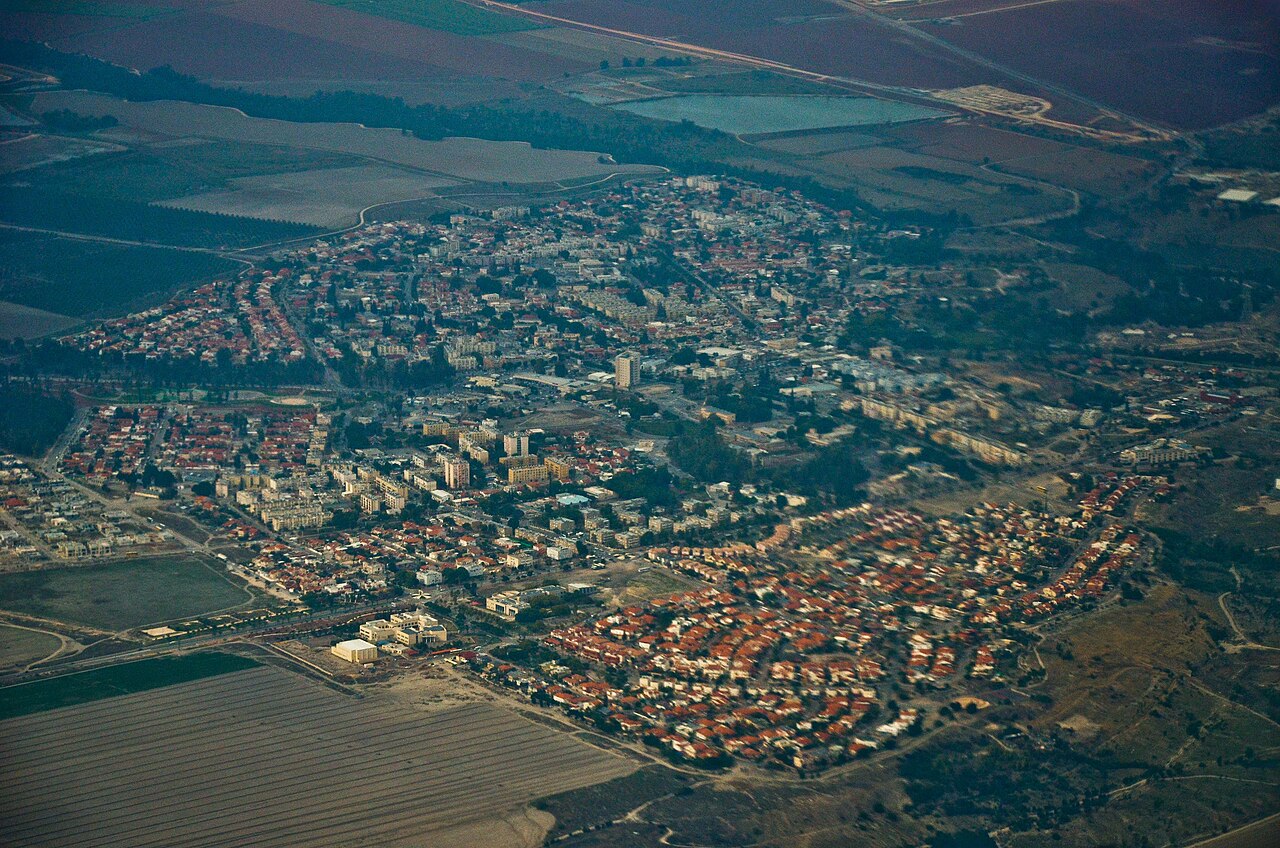
A loop through Scythopolis from the tel down to the toppled columns of Palladius Street.
مقاطع
- Tel Beit She'an
Park entrance ← Summit of the tel
Steep stepped path
Climb first, while you are still fresh and the day is still cool. The mound is not a hill — it is roughly twenty cities built one on the ruins of the last, a layer cake of Canaanites, Egyptians, Israelites and everyone after them. From the top the entire Roman city lies below you like an architect's model, and you can see the valley running north to the Sea of Galilee and east to the Jordan. About 40 minutes.
- The theatre
Foot of the tel ← Roman theatre
Paved paths and stone steps
The best-preserved Roman theatre in the country, built in the 2nd century and seating around 7,000. Sit high in the stands and talk quietly to someone standing on the stage floor — the acoustics still work. The audience was sorted by class, gender, nationality and trade, so where you sat announced who you were before you said anything. The public latrines survive nearby, which tells you more about Roman civic life than the theatre does. About 30 minutes.
- The cardo and the colonnaded streets
Theatre ← City centre crossroads
Ancient basalt paving
Walk the main street of a Roman provincial capital, still paved, still lined with the doorways of its shops, still flanked by the stumps of the columns that carried its covered sidewalks. Scythopolis was the leading city of the Decapolis and the only one of the ten west of the Jordan River, and the width of this street is the reason why — it was built to be impressive. About 40 minutes.
- The Western Bathhouse
City centre crossroads ← Western Bathhouse
Paved paths and ruins
An enormous 4th-century bath complex covering roughly nine dunams, with hot and tepid halls, the remains of two pools, and the brick pillars of the hypocaust — the underfloor heating system — still standing in rows beneath what was the floor. Mosaic fragments survive in places. It is the clearest evidence on the site of how comfortable this city was before the ground moved. About 30 minutes.
- Palladius Street & the fallen columns
Western Bathhouse ← Palladius Street
Ancient paving
The image everyone comes for. Along Palladius Street the columns lie in long parallel lines beside the pavement, all thrown the same way by the earthquake of 18 January 749 and never touched since. Nothing has been reassembled. You are looking at the direction the shockwave travelled, written in stone, and the city was abandoned rather than rebuilt. About 30 minutes.
- The Byzantine agora & the way out
Palladius Street ← Park entrance
Paved paths
Finish through the later layers — the Byzantine market square, the odeon, the remains of the nymphaeum fountain that once fronted the main crossroads, and inscriptions in Greek still legible in the paving. Scythopolis stayed a wealthy Christian city long after Rome itself faded, which is exactly why there was so much here left to fall. About 20 minutes back to the gate.
التعليقات
سجّلوا الدخول للانضمام إلى النقاش.
لا توجد تعليقات بعد — كونوا أوّل المعلّقين.