A steady line north through Venice, from the ceremonial centre to the quiet northern sestiere.
مقاطع
- Piazza San Marco
Piazza San Marco ← The Piazzetta
Paved square
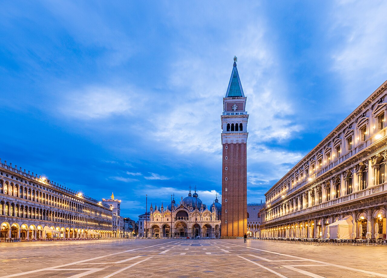
Start in the principal square of Venice, known locally simply as la Piazza — the only one in the city that carries the title. The Piazzetta extends it towards the lagoon between two columns; the campanile stands where the square meets it. Come at opening time and the arcades are almost empty. About 30 minutes.
- St Mark's Basilica
Piazza San Marco ← Basilica interior
Paved square
The cathedral church of the Patriarchate of Venice, holding the relics of Saint Mark the Evangelist, the city's patron. Inside, gold mosaics cover the domes and the uneven marble floor rolls underfoot. The loggia upstairs holds the original bronze horses and looks straight down the Piazza. About an hour.
-
 The Doge's Palace
St Mark's Basilica ← Doge's Palace
Paved square
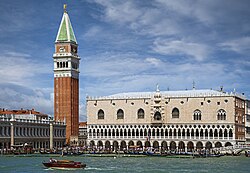
Next door stands the Venetian Gothic palace that housed the government, the courts, a jail and the residence of the elected doge. First built in 810 and rebuilt from 1340, it has been a museum since 1923. The council chambers upstairs are painted floor to ceiling. Allow about 90 minutes.
عن هذا المكان
The Doge's Palace is a palace built in Venetian Gothic style, and one of the main landmarks of the city of Venice in northern Italy. The palace included government offices, a jail, and the residence of the Doge of Venice, the elected authority of the former Republic of Venice. It was originally built in 810, rebuilt in 1340 and extended and modified in the following centuries. It became a museum in 1923 and is one of 11 museums run by the Fondazione Musei Civici di Venezia.
اقرأوا المزيد في ويكيبيديا -
 The Bridge of Sighs
Doge's Palace ← Ponte della Paglia
City alleys and bridges
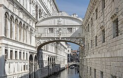
The enclosed white limestone bridge linking the palace to the New Prison across the Rio di Palazzo. You cross it from inside the palace and see it from outside on the Ponte della Paglia — the classic view, and one of the most photographed spots in Venice. About 20 minutes.
عن هذا المكان
The Bridge of Sighs is a bridge in Venice, Italy. It connects the Doge's Palace with the New Prison across Rio di Palazzo.
اقرأوا المزيد في ويكيبيديا -
 To the Rialto Bridge
Piazza San Marco ← Rialto Bridge
City alleys and bridges
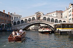
Thread north through the alleys of San Marco to the oldest of the four bridges over the Grand Canal, connecting San Marco to San Polo. It began as a pontoon crossing in 1173 and has been rebuilt repeatedly; the stone arch you walk today dates from the late 16th century. The market on the far side is best in the morning. About 45 minutes.
عن هذا المكان
The Rialto Bridge is the oldest of the four bridges spanning the Grand Canal in Venice, Italy. Connecting the sestieri (districts) of San Marco and San Polo, it has been rebuilt several times since its first construction as a pontoon bridge in 1173, and is now a significant tourist attraction in the city.
اقرأوا المزيد في ويكيبيديا -
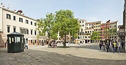 Cannaregio and the Ghetto
Rialto Bridge ← Campo di Ghetto Nuovo
City alleys and bridges
Walk north-west into Cannaregio, where Venice becomes a neighbourhood again. The route ends in the Venetian Ghetto, instituted by decree in 1516 as the quarter where Jews were compelled to live — the place that gave the word 'ghetto' to every other language. Its tall, crowded houses, synagogues and museum still surround a quiet campo. About an hour.
عن هذا المكان
The Venetian Ghetto was the area of Venice in which Jews were forced to live by the government of the Venetian Republic. The English word ghetto is derived from the Jewish ghetto in Venice. The Venetian Ghetto was instituted on 29 March 1516 by decree of Doge Leonardo Loredan and the Venetian Senate. It was not the first time that Jews in Venice were compelled to live in a segregated area of the city. In 1555, Venice had 160,208 inhabitants, including 923 Jews, who were mainly merchants.
اقرأوا المزيد في ويكيبيديا
التعليقات
سجّلوا الدخول للانضمام إلى النقاش.
لا توجد تعليقات بعد — كونوا أوّل المعلّقين.