A single continuous walk down the West Side and across the East River, from an elevated park to a Brooklyn waterfront.
مقاطع
- The High Line
34th Street–Hudson Yards ← Gansevoort Street
Elevated park path
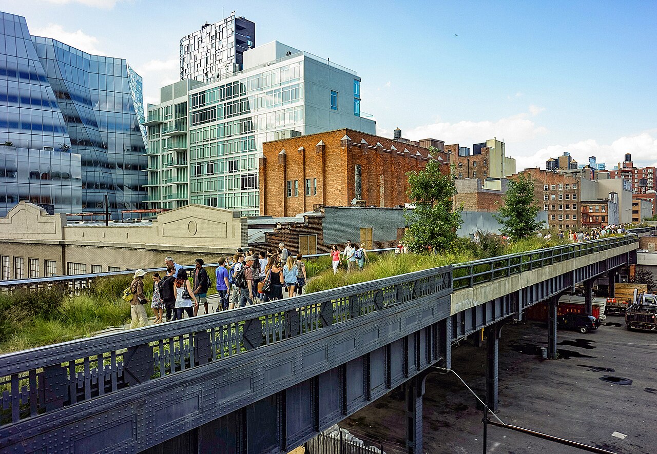
Begin on a freight viaduct that was left to rot and then rebuilt as a 1.45-mile (2.33 km) linear park, greenway and rail trail on a former New York Central Railroad spur. Piet Oudolf's planting grows through the old ballast and rails; the design was inspired by the Coulée verte, an earlier elevated park in Paris. You walk two storeys above the traffic, with the Hudson on your right. Allow about 60 minutes.
-
 Chelsea Market
High Line at 15th Street ← Ninth Avenue
Indoor concourse
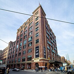
The High Line passes straight through the Tenth Avenue side of this building, so stepping off into it costs you nothing. Chelsea Market fills an entire city block — a food hall and shopping concourse in a former biscuit factory, with brick, rivets and rail-era ironwork left exposed. A good place for lunch. About 45 minutes.
عن هذا المكان
Chelsea Market is a food hall, shopping mall, office building and television production facility located in the Chelsea neighborhood of the borough of Manhattan, in New York City. The Chelsea Market complex occupies an entire city block with a connecting bridge over Tenth Avenue to the adjacent 85 Tenth Avenue building. The High Line passes through the 10th Avenue side of the building.
اقرأوا المزيد في ويكيبيدياصورة: Ajay Suresh from New York, NY, USA · CC BY 2.0
-
 Greenwich Village & Washington Square
Gansevoort Street ← Washington Square Park
City streets
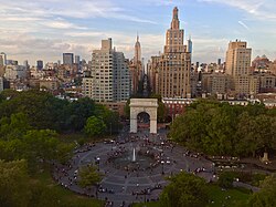
Head east into the one part of Manhattan where the grid gives up. Greenwich Village sits on the west side of Lower Manhattan, bounded by 14th Street, Broadway, Houston Street and the Hudson, and its crooked streets are the point — you will lose your bearings, which is fine. It ends at Washington Square Park, about 9.75 acres of chess players, buskers and students under the marble arch. Around 60 minutes.
عن هذا المكان
Washington Square Park is a 9.75-acre (3.95 ha) public park in the Greenwich Village neighborhood of Lower Manhattan, New York City. It is an icon as well as a meeting place and center for cultural activity. The park is operated by the New York City Department of Parks and Recreation.
اقرأوا المزيد في ويكيبيدياصورة: Isabella Ruffalo-Burgat · CC BY-SA 4.0
-
 Through SoHo
Washington Square Park ← Broadway & Canal Street
City streets and cobblestones
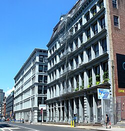
South of Houston Street — which is what the name is short for — is the densest run of cast-iron architecture anywhere. From the 1970s the neighbourhood filled with artists' lofts and galleries, and the shops that followed have not managed to hide the buildings. Look up above the storefronts, and watch your ankles on the cobblestone blocks. About 40 minutes.
عن هذا المكان
SoHo, short for "South of Houston Street", is a neighborhood in Lower Manhattan, New York City. Since the 1970s, the neighborhood has been the location of many artists' lofts and art galleries, art installations such as the Wall, and has also been known for its variety of shops ranging from trendy upscale boutiques to national and international chain store locations. The area's history is an archetypal example of inner-city regeneration and gentrification, encompassing socioeconomic, cultural, political, and architectural developments.
اقرأوا المزيد في ويكيبيدياصورة: Jim.henderson; cropped by Beyond My Ken (talk) 05:00, 19 June 2011 (UTC) · CC0
-
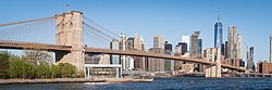 Crossing the Brooklyn Bridge
Broadway & Canal Street ← Brooklyn Bridge, Brooklyn side
City streets, then bridge promenade
Walk down to the entrance near City Hall and climb onto the wooden promenade. Opened on 24 May 1883, this was the first fixed crossing of the East River and the longest suspension bridge in the world at the time, with a main span of about 1,595 feet (486 m) and a deck roughly 127 feet (39 m) above mean high water. The gothic stone towers and the fan of cables are the reason to slow down. Around 75 minutes.
عن هذا المكان
The Brooklyn Bridge is a cable-stayed suspension bridge in New York City, spanning the East River between the boroughs of Manhattan and Brooklyn. Opened on May 24, 1883, the Brooklyn Bridge was the first fixed crossing of the East River. It was also the longest suspension bridge in the world when opened, with a main span of 1,595.5 feet (486.3 m) and a deck 127 ft (38.7 m) above mean high water. The span was originally called the New York and Brooklyn Bridge or the East River Bridge but was officially renamed the Brooklyn Bridge in 1915.
اقرأوا المزيد في ويكيبيدياصورة: Christian David · CC BY-SA 4.0
-
 DUMBO
DUMBOBrooklyn Bridge, Brooklyn side ← Brooklyn Bridge Park
Cobblestone streets and waterfront path
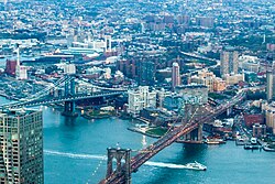
Drop down off the bridge into the neighbourhood squeezed between the Manhattan and Brooklyn Bridges. Cobbled warehouse streets frame the Manhattan Bridge in the famous view from Washington Street, and the waterfront park below gives you the whole skyline you just walked out of. End here with the ferry or the subway home.
عن هذا المكان
Dumbo is a neighborhood in the New York City borough of Brooklyn. It encompasses two sections: one situated between the Manhattan and Brooklyn Bridges, which connect Brooklyn to Manhattan across the East River, and another extending eastward from the Manhattan Bridge to the Vinegar Hill area. The neighborhood is bounded by Brooklyn Bridge Park to the north, the Brooklyn Bridge to the west, Brooklyn Heights to the south, and Vinegar Hill to the east. Dumbo is part of Brooklyn Community Board 2.
اقرأوا المزيد في ويكيبيدياصورة: Benhodgson · CC BY-SA 4.0
التعليقات
سجّلوا الدخول للانضمام إلى النقاش.
لا توجد تعليقات بعد — كونوا أوّل المعلّقين.