
A ferry to Granville Island, the Public Market, the island’s lanes and silos, the False Creek South seawall, the Olympic Village and Science World.
مقاطع
- Ferry across False Creek
Hornby Street or Sunset Beach ferry dock ← Granville Island ferry dock
Passenger ferry
The little ferries of Aquabus, running since 1985, and False Creek Ferries carry a dozen or so passengers at a time and take only a few minutes to cross under the Burrard or Granville Street bridges. Sit near the front for the view of the water and the downtown towers. About 10 minutes.
عن هذا المكان
The Aquabus, also known as Aquabus Ferries Ltd., is a privately owned and operated ferry service that provides commuter and sightseeing services to locations all along False Creek of central Vancouver, British Columbia, Canada. The Aquabus started service in 1985.
اقرأوا المزيد في ويكيبيديا صورة: Joe Mabel · CC BY-SA 3.0 - Granville Island Public Market
Granville Island ferry dock ← Granville Island Public Market
Indoor market
The market fills an old machine-shop building next to the ferry docks, its stalls selling fish, meat, cheese, bread, fruit and ready-to-eat food. Take time to walk every aisle before you choose, then eat on the waterfront outside. About 60 minutes.
- Studios, lanes and the silos
Granville Island Public Market ← Granville Island Hotel
Industrial lanes
Wander east through the island's lanes of glassblowers, potters, printmakers and galleries, past the theatres and the former Emily Carr University building. The working cement plant with its painted silos is on the way, as is Granville Island Brewing. At the east end, the Granville Island Hotel sits over the water. About 40 minutes.
عن هذا المكان
The Granville Island Brewing Company (GIB) is a brewery originally based on Granville Island in Vancouver, British Columbia, Canada. It was founded in 1984 and calls itself "Canada's first microbrewery". In 1989, it was sold to the wine conglomerate Andrew Peller Ltd. In 2009, it was bought by Creemore Springs, a subsidiary of Molson Coors, which in 2016, became the third largest beer corporation in the world. Of brewers with locations in British Columbia, Granville is the seventh largest based on sales to the BC Liquor Distribution Branch.
اقرأوا المزيد في ويكيبيديا صورة: Granville Island Brewing · Public domain - False Creek South seawall
Granville Island Hotel ← Cambie Bridge
Paved seawall
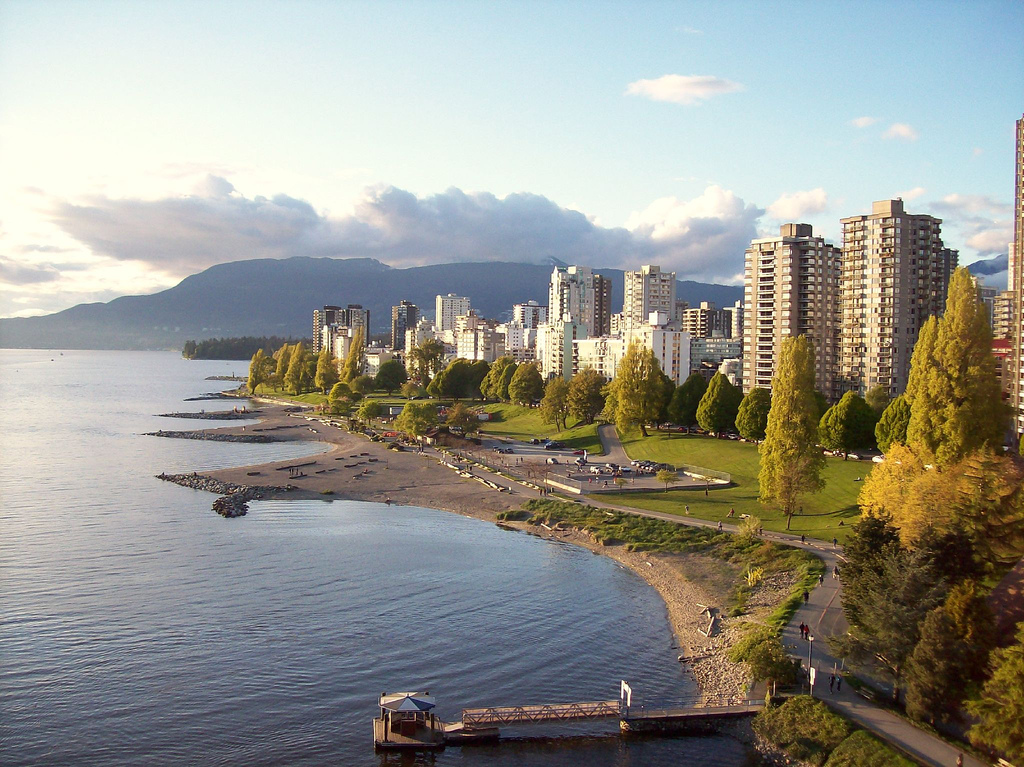
Follow the seawall east along the south shore of False Creek, through a planned neighbourhood of low-rise housing, marinas and parks built in the 1970s on former industrial land. Across the water the towers of Yaletown and the white roof of BC Place rise above the marinas. About 25 minutes.
عن هذا المكان
False Creek is a short narrow inlet in the heart of Vancouver, British Columbia, Canada, which separates the Downtown and West End neighbourhoods from the rest of the city. It is one of the four main bodies of water bordering Vancouver, along with English Bay, Burrard Inlet, and the Fraser River. Granville Island is located within the inlet.
اقرأوا المزيد في ويكيبيديا صورة: Wpcpey · CC BY-SA 4.0 - Olympic Village
Cambie Bridge ← Olympic Village plaza
Paved seawall and plaza
The athletes' village for the 2010 Winter Olympics is now a residential neighbourhood. In its plaza stand The Birds, two giant sparrow sculptures by Myfanwy MacLeod, each about 5 metres tall. Just west, Hinge Park and Habitat Island are small restored wetlands where herons fish at the water's edge. About 20 minutes.
عن هذا المكان
Hinge Park is a naturalized wetland park in the city of Vancouver, British Columbia. Hinge Park covers 2.3 acres and also connects to Habitat Island which covers around 1.5 acres. The park includes a trail in Habitat Island, a walking/biking trail along the shoreline of False Creek, public art installations, picnic tables, benches, docks, a children's play area, a bridge constructed from sewer pipe, a water pump with metal runnels at the top of a small hill, and the Olympic Village dog park.
اقرأوا المزيد في ويكيبيديا صورة: M477ch4n · CC BY-SA 4.0 - Science World
Olympic Village plaza ← Science World
Paved seawall
Round the head of False Creek to the mirrored geodesic dome that served as the Expo Centre at Expo 86 and reopened as Science World in 1989. Go in for the hands-on galleries or simply admire it from the seawall, then walk a few minutes to Main Street–Science World Station. About 15 minutes, longer inside.
عن هذا المكان
Science World is a science centre run by a not-for-profit organization called ASTC Science World Society in Vancouver, British Columbia, Canada. It is located at the eastern end of False Creek and features many permanent interactive exhibits and displays, as well as areas with varying topics throughout the years.
اقرأوا المزيد في ويكيبيديا صورة: Differense · CC BY-SA 3.0





التعليقات
سجّلوا الدخول للانضمام إلى النقاش.
لا توجد تعليقات بعد — كونوا أوّل المعلّقين.