← كل المسارات
رحلة مشي Wales — Eryri (Snowdonia), United Kingdom

Yr Wyddfa (Snowdon) by the Llanberis Path

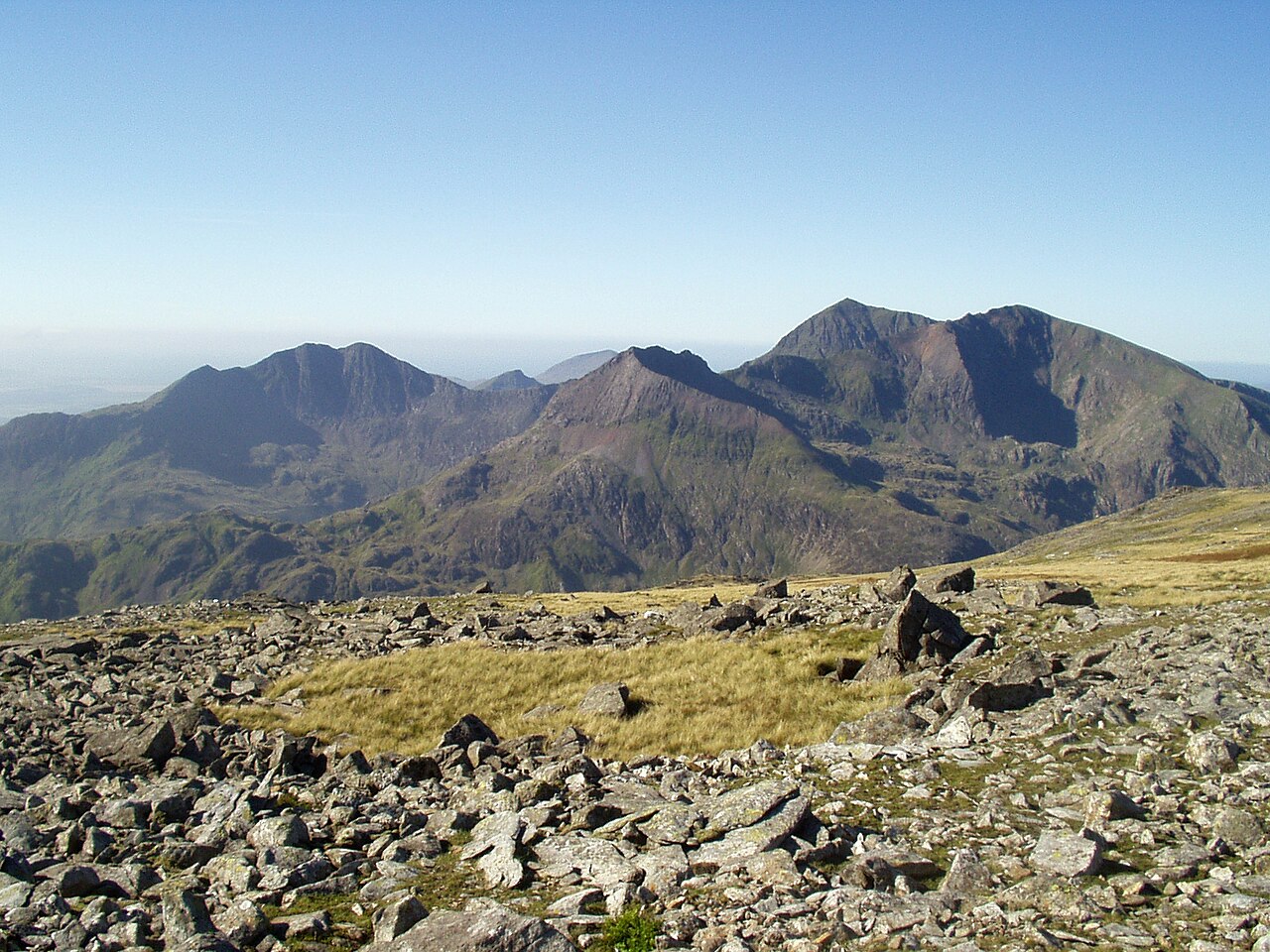
The longest and most gradual way up the highest mountain in Wales — about 6.8 km of steady climbing beside the mountain railway, past the cliffs of Clogwyn Du'r Arddu to the summit at 1,085 m.

Yr Wyddfa (Snowdon) by the Llanberis Path
صورة: Wikimedia Commons · CC BY-SA 3.0
المدة
1 أيام
المسافة
14 km
الصعود
965 m
مستوى الصعوبة
متوسط
أفضل موسم
May–September; outside summer this is a full winter mountaineering route

Yr Wyddfa — long known in English as Snowdon — rises to about 1,085 m, the highest ground in Wales and in Britain south of the Scottish Highlands. Both Yr Wyddfa and Eryri (for the national park) are now the official names used by the park authority, and you will see them on signs and maps.

The Llanberis Path is the longest route to the summit and also the most forgiving: about 6.8 km one way with roughly 965 m of ascent, at an overall gradient of around 1 in 7. It shadows the Snowdon Mountain Railway almost the whole way, which makes it hard to lose in clear weather and gives the walk its odd, companionable character — you climb, the little rack-and-pinion trains grind past.

Getting there. Llanberis sits at the foot of the mountain at about 110 m, reachable by bus from Bangor and Caernarfon and served by the Sherpa’r Wyddfa bus network. Parking in the village is limited and fills early; the path starts on Victoria Terrace, just off the high street.

Good to know:

اليوم 1

Llanberis to the summit and back

Llanberis (Victoria Terrace) → Llanberis (Victoria Terrace) 14 km ↑ 965 m
التنقّل في هذا اليوم

The whole route in a single day: a long uniform ascent beside the railway line, a short exposed traverse high on the mountain, and the same path back down.

مقاطع

  1. Village to Halfway House
    Village to Halfway House 3 km ↑ 390 m 📍 خريطة

    Llanberis → Halfway House

    Steep tarmac lane, then a broad stony track

    The hardest gradient of the day comes first, on a walled lane out of the village. It eases onto open hillside above Hebron and settles into the long moorland pull to the Halfway House café. About 1.5 hours.

    عن هذا المكان

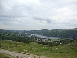
    Llanberis is a village, community and electoral division in Gwynedd, northwest Wales, on the southern shore of Llyn Padarn and at the foot of Snowdon, the highest mountain in Wales. It is a centre for outdoor activities in Snowdonia, including walking, mountaineering, climbing, mountain biking and pony trekking, as well as water sports such as scuba diving.

    اقرأوا المزيد في ويكيبيديا ↗

    صورة: Midway · Public domain

  2. Under the railway to Clogwyn
    Under the railway to Clogwyn 1.8 km ↑ 280 m 📍 خريطة

    Halfway House → Clogwyn station

    Stony track beside the railway line

    The path passes beneath the railway and climbs to Clogwyn station at about 780 m, where the ground suddenly falls away north into Cwm Brwynog. A short detour gives the view of Clogwyn Du'r Arddu, the black north-facing rhyolite cliff that is one of Britain's great traditional climbing grounds. About 1 hour.

    عن هذا المكان

    The Snowdon Mountain Railway is a narrow gauge rack-and-pinion mountain railway in Gwynedd, north-west Wales. It is a tourist railway that travels for 4.7 miles (7.6 km) from Llanberis to the summit of Snowdon, the highest peak in Wales. A return journey, including the stop at the summit, takes 2½ hours.

    اقرأوا المزيد في ويكيبيديا ↗

    صورة: Bert Kaufmann from Roermond, Netherlands · CC BY-SA 2.0

  3. The Killer Convex to the summit
    The Killer Convex to the summit 2 km ↑ 295 m 📍 خريطة

    Clogwyn station → Yr Wyddfa summit (1,085 m)

    Rocky path, exposed convex slope near the top

    Above Clogwyn the path crosses the convex slope that has earned the name "Killer Convex" — benign underfoot in summer, lethal under ice. It joins the other routes at the standing stone of Bwlch Glas, then follows the ridge past Hafod Eryri, the summit visitor centre, to the trig point. About 1 hour.

    عن هذا المكان

    Clogwyn Du'r Arddu is a north-facing rhyolite set of cliffs located on the northern flank of Snowdon mountain. Clogwyn Du'r Arddu is considered to be one of the best traditional climbing areas in Britain, and has been called "The shrine of British climbing", and a "crucible for the development of most of the finest climbers in Britain and the scene of many of their finest achievements".

    اقرأوا المزيد في ويكيبيديا ↗

    صورة: William M. Connolley · Public domain

  4. Back down the same line
    Back down the same line 6.8 km ↑ 0 m 📍 خريطة

    Yr Wyddfa summit → Llanberis

    Same track, unrelenting descent

    Retrace the whole path. There are no shortcuts and, unless you have booked a seat in advance, no train — the descent is about 2.5 hours and takes a heavier toll on the knees than the climb did on the lungs.
    عن هذا المكان

    The Summit railway station is the southern, upper terminus of the Snowdon Mountain Railway, located within yards of the summit of Snowdon. In 2009 a new station building was opened, which was named Hafod Eryri.

    اقرأوا المزيد في ويكيبيديا ↗

    صورة: Denis Egan from Bangor, Gwynedd, North Wales · CC BY 2.0

Comments