← كل المسارات
رحلة مشي Lower Galilee — Mount Tabor, Israel

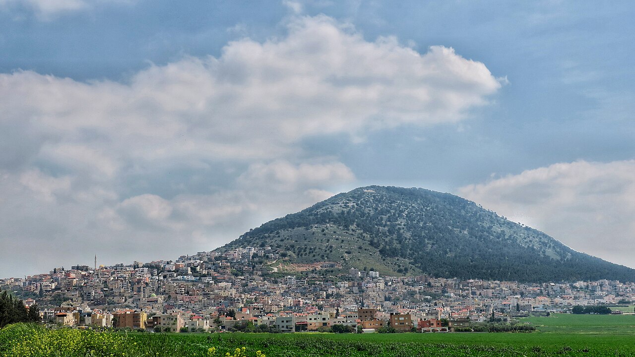
Mount Tabor: The Dome Above the Jezreel Valley

A half-day climb up the switchbacks of the Galilee's most distinctive hill, to a summit shared by a Franciscan basilica, a Greek Orthodox monastery and one of the great views in Israel.

Mount Tabor: The Dome Above the Jezreel Valley
صورة: Noamdahary · CC BY-SA 4.0
المدة
1 أيام
المسافة
6 km
الصعود
450 m
مستوى الصعوبة
متوسط
أفضل موسم
Spring (February–May) for wildflowers and clear air, and autumn (October–November) — avoid the summer heat

No mountain in Israel announces itself the way Mount Tabor does. Shaped almost like half a sphere, it rises alone and abruptly from a flat plain — about 575 m above sea level and roughly 450 m above the fields around it — so that from anywhere in the Jezreel Valley your eye goes straight to it. It is a landmark you navigate by before it is ever a place you visit.

The walk up is short but honest: a steady climb through oak and pine forest, then the road’s tight switchbacks, and a summit that holds two monasteries, two thousand years of rebuilding, and a view that explains why armies and pilgrims both kept coming back.

Getting there. Mount Tabor sits in the Lower Galilee, about 18 km west of the Sea of Galilee, above the village of Kfar Tavor. Come by car from Afula or Tiberias; the forest path up the flank takes about 1–2 hours on foot, and a winding road serves the summit for those who would rather drive.

Permits & tickets. The summit churches are free to enter but keep monastery hours and usually close for a long midday break — check before you set out. Modest dress (covered shoulders and knees) is required inside both.

Good to know:

اليوم 1

Valley floor to the summit of Tabor

Foot of Mount Tabor, near Kfar Tavor → Mount Tabor summit 6 km ↑ 450 m
التنقّل في هذا اليوم

A single climb from the foot of the mountain through forest and switchbacks to the churches and the panorama at the top.

مقاطع

  1. Through the oak forest 1.5 km ↑ 120 m 📍 خريطة

    Trailhead below Kfar Tavor → Lower slopes

    Forest path

    The first stretch is the gentlest and the shadiest, winding up through oak and pine on the mountain's flank. Look back early and often — the valley opens behind you faster than you expect. About 45 minutes.

  2. The switchbacks 2.5 km ↑ 330 m 📍 خريطة

    Lower slopes → Summit gate

    Steep switchback ascent

    The real work of the day: a tight sequence of hairpins up the steep upper cone, exposed and unrelenting. Pilgrims once climbed a stone stairway of some 4,300 steps to reach the top; the switchbacks are the modern penance. Around 1 hour.

  3. The Church of the Transfiguration
    The Church of the Transfiguration 0.4 km ↑ 20 m 📍 خريطة

    Summit gate → Franciscan basilica

    Paved monastery grounds

    The Franciscan basilica, built between 1919 and 1924 to Antonio Barluzzi's design, stands on the ruins of a Byzantine church of the fifth or sixth century and a Crusader church of the 12th — the layers are visible in the crypt beneath. Tradition places the Transfiguration of Jesus here. About 45 minutes.

    عن هذا المكان

    The Church of the Transfiguration is a Franciscan church located on Mount Tabor in Israel. It is traditionally believed to be the site where the Transfiguration of Jesus took place, an event in the Gospels in which Jesus is transfigured upon an unnamed mountain and speaks with Moses and Elijah.

    اقرأوا المزيد في ويكيبيديا ↗

    صورة: Liorca · CC BY-SA 4.0

  4. The Greek Orthodox monastery 0.4 km 📍 خريطة

    Franciscan basilica → Monastery of St Elias

    Summit path

    A wall separates the summit's two communities. The Greek Orthodox monastery of St Elias, begun in 1859 and completed in 1862, is the quieter half — smaller, darker, heavy with incense, and largely free of the coach parties. Its community marks the Feast of the Transfiguration each August with a night vigil. About 30 minutes.

  5. The valley panorama
    The valley panorama 0.3 km 📍 خريطة

    Monastery of St Elias → Northern viewpoint

    Summit lookout

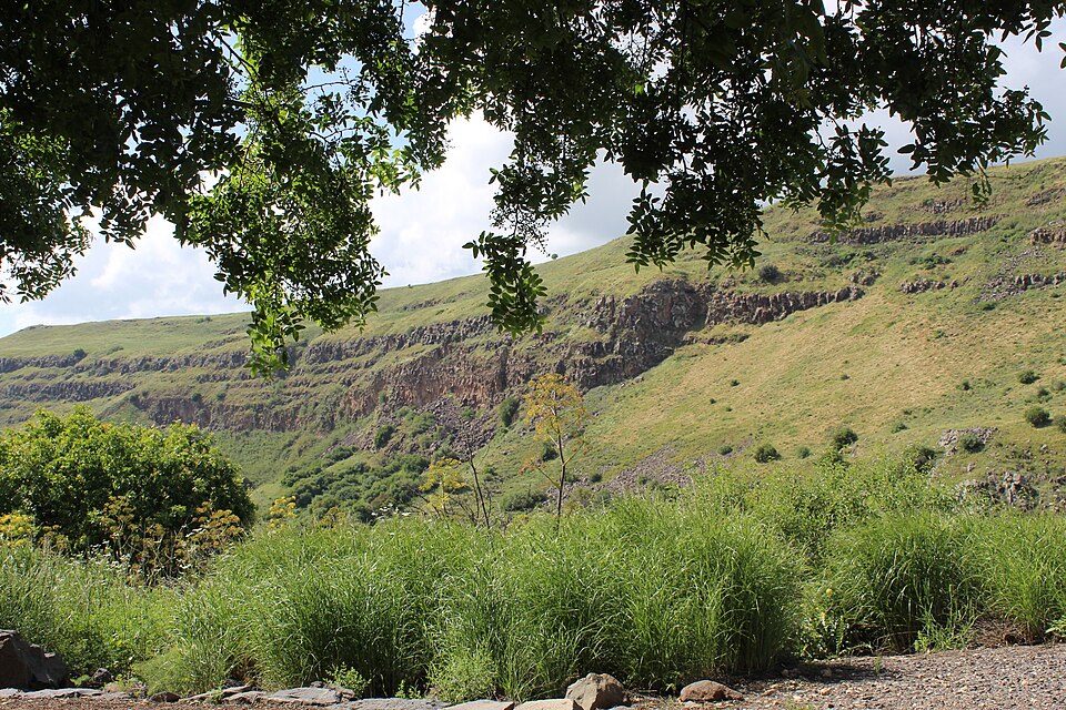
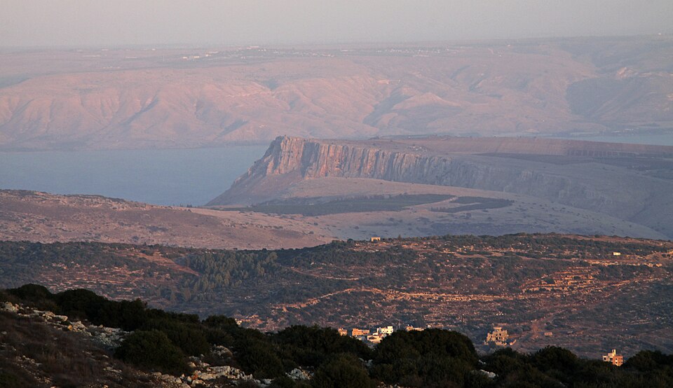
    Finish at the rim. The Jezreel Valley spreads out flat and farmed in every direction, with the Galilee hills to the north and Mount Gilboa closing the southern edge. It was to this mountain that the prophetess Deborah summoned Barak with ten thousand men before they swept down to break Sisera's Canaanite army (Judges 4) — from up here the tactics need no explaining.
    عن هذا المكان

    The Jezreel Valley, or Marj Ibn Amir is a large fertile plain and inland valley in the Northern District of Israel. It is bordered to the north by the highlands of the Lower Galilee, to the south by the highlands of Samaria, to the west and northwest by the Mount Carmel range, and to the east by the Jordan Valley, with Mount Gilboa marking its southern extent. The largest settlement in the valley is the city of Afula, which lies near its center.

    اقرأوا المزيد في ويكيبيديا ↗

    صورة: Tal Oz טל עוז · CC BY 2.5

Comments