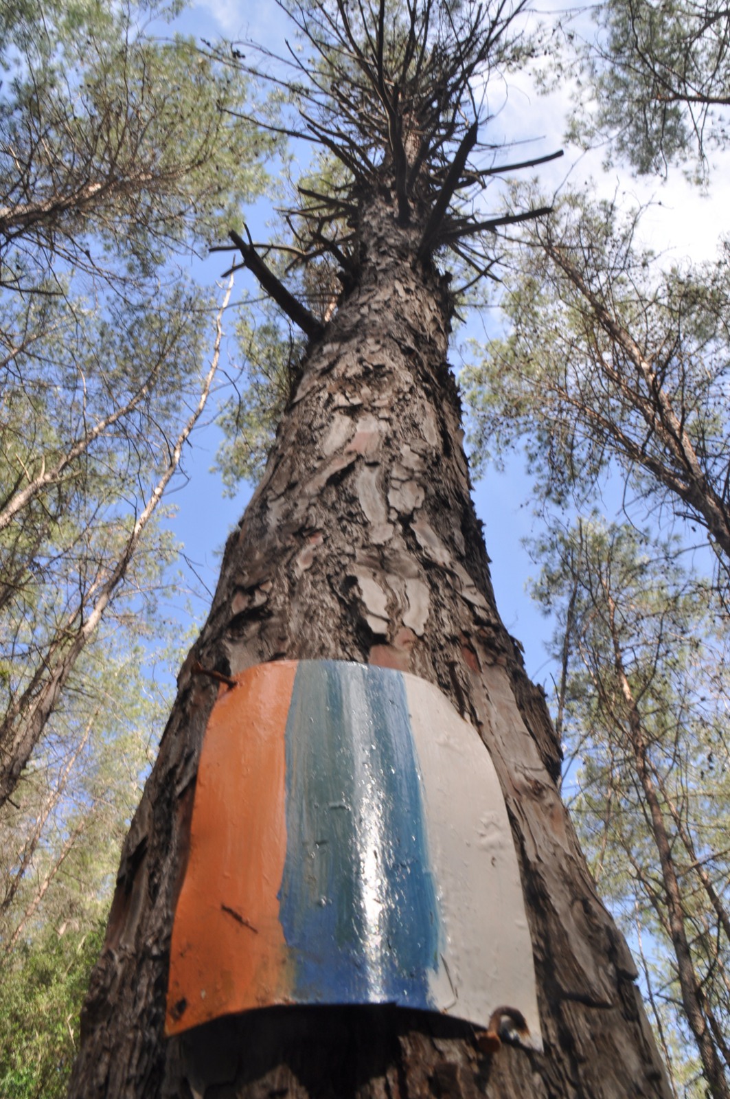
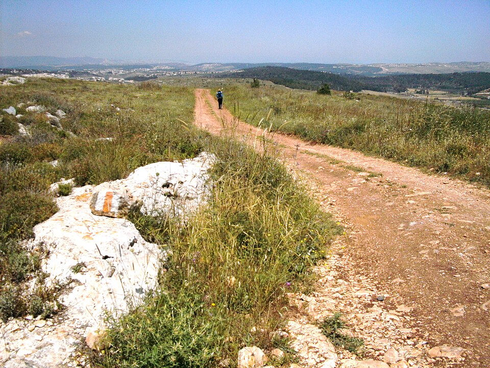
The northern trail at its greenest: spring-fed streams, oak and terebinth woodland and the long ridge of Mount Meron with views to Mount Hermon and the sea.
مقاطع
- Up Nahal Amud
Tzfat ← Ein Koved (Nahal Amud)
Shaded stream gorge
Drop from the artists' town of Tzfat into Nahal Amud, a deep, spring-fed canyon named for the freestanding rock pillar at its heart. Follow the water past mills and pools beneath oak and fig. About 3.5 hours.
- Onto the Meron ridge
Ein Koved ← Mount Meron
Forest climb to open ridge
Climb steadily out of the gorge onto Mount Meron, at 1,208 m the highest peak in the Galilee, ringed by a nature reserve of wild peonies and cyclamen with a summit-ridge panorama across the whole north. About 3.5 hours.
التعليقات
سجّلوا الدخول للانضمام إلى النقاش.
لا توجد تعليقات بعد — كونوا أوّل المعلّقين.