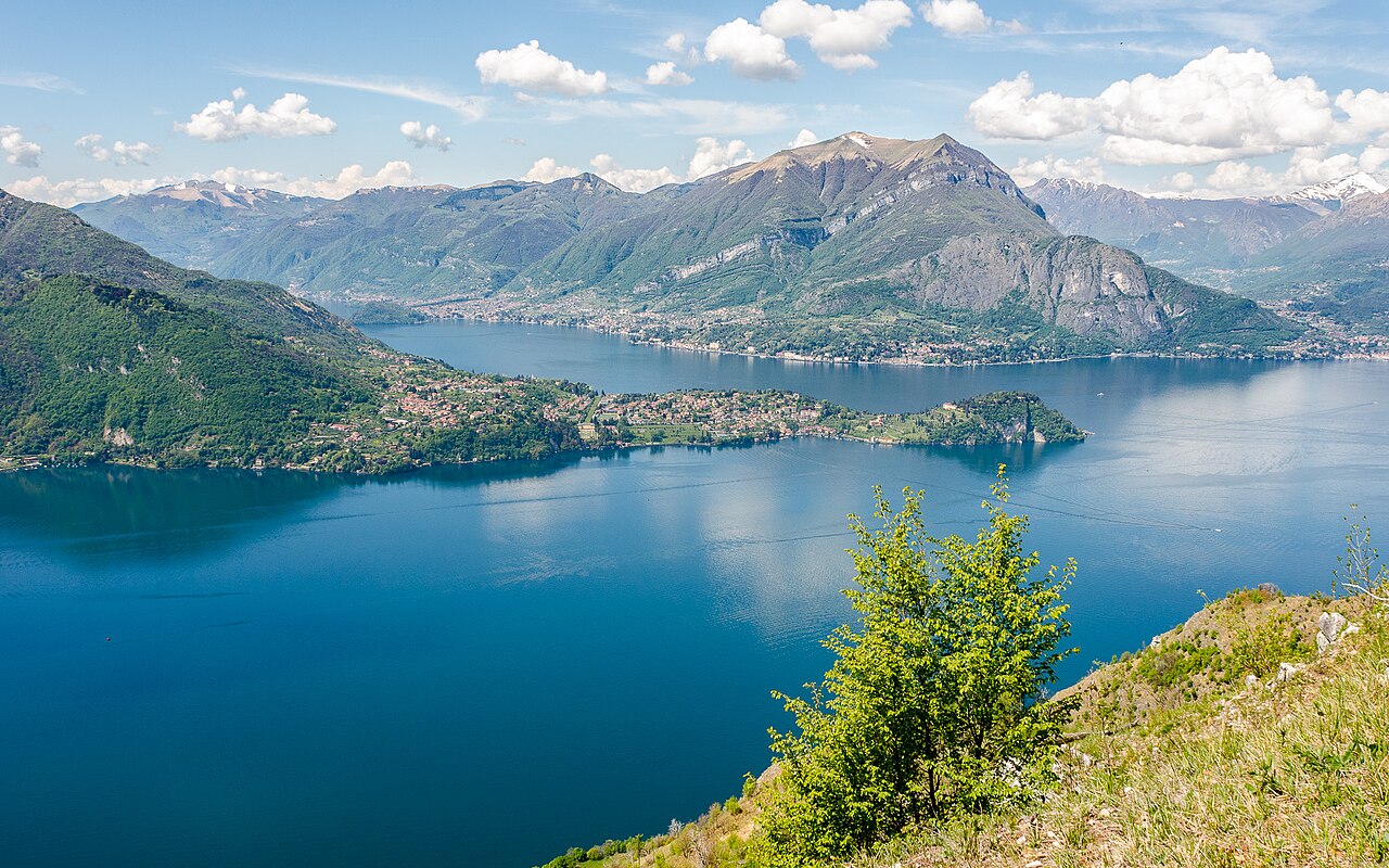
A single waymarked line north along the western shore, village by village, ending with a ferry hop across the lake.
مقاطع
-
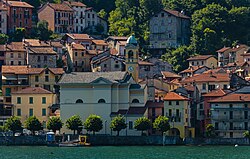 Colonno to Sala Comacina
Colonno ← Sala Comacina
Cobbled village lanes and old mule tracks
The Greenway starts in Colonno and immediately gives you its character: narrow stone lanes between shuttered houses, mule tracks squeezed between garden walls, and sudden gaps where the whole lake appears. Sections here follow the course of the Antica Strada Regina, the old road along this shore. About 40 minutes.
عن هذا المكان
Colonno is a comune (municipality) in the Province of Como in the Italian region Lombardy, located about 50 kilometres (31 mi) north of Milan and about 15 kilometres (9 mi) northeast of Como. As of 31 December 2004, it had a population of 557 and an area of 5.7 km2 (2.2 sq mi).
اقرأوا المزيد في ويكيبيديا - Sala Comacina to Ossuccio and the Isola Comacina view
Sala Comacina ← Ossuccio
Lakeside lanes and steps
Out of Sala Comacina the path opens onto the lake's only island, Isola Comacina — small, wooded, and once the most powerful place on the lake before it was destroyed in the twelfth century. On the slope above Ossuccio stand the chapels of the Sacro Monte di Ossuccio, a UNESCO-listed sacred mountain. About 40 minutes.
-
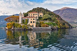 Ossuccio to Lenno and Villa del Balbianello
Ossuccio ← Lenno
Shore paths and village streets
Lenno sits on a sheltered bay, and from its waterfront a wooded promontory carries Villa del Balbianello — arguably the most photographed villa on the lake, with terraced gardens dropping straight into the water. Reach it on foot from Lenno or by the short boat shuttle. Allow about 30 minutes walking, plus a couple of hours if you visit the villa.
عن هذا المكان
The Villa del Balbianello is a villa in the comune of Lenno, a province in the north of the Lombardy region of Italy, overlooking Lake Como. It is located on the tip of the small wooded peninsula of Dosso d'Avedo on the western shore of the south-west branch of Lake Como, 1500 meters east from the Isola Comacina. The villa is famous for its elaborate terraced gardens.
اقرأوا المزيد في ويكيبيديا -
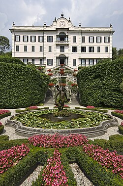 Lenno to Tremezzo and Villa Carlotta
Lenno ← Tremezzo
Village lanes and stepped paths
The route climbs a little through Mezzegra before dropping to Tremezzo and Villa Carlotta, a villa and botanical garden whose grounds are famous for rhododendrons and azaleas in late spring. All of these villages now form the comune of Tremezzina. About 45 minutes on foot.
عن هذا المكان
Villa Carlotta is a villa and botanical garden in Tremezzo on Lake Como in Northern Italy. Today the villa is a museum, whose collection includes works by sculptors such as Antonio Canova, Bertel Thorvaldsen, and Giovanni Migliara; painters such as Francesco Hayez; and furniture pieces of previous owners. The villa, whose architect is unknown, was completed in 1745.
اقرأوا المزيد في ويكيبيديا -
 Tremezzo to Griante, and the ferry to Bellagio
Tremezzo ← Bellagio
Lakeside promenade, then ferry
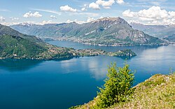
A last easy stretch along the water brings you into Griante and its hamlet of Cadenabbia, where the Greenway ends. From the pier the ferry crosses to Bellagio, the village on the point where the lake's two southern arms split — steep stepped alleys, a lakeside promenade, and the best possible place to sit down. About 25 minutes walking plus a short crossing.
عن هذا المكان
Bellagio is a comune (municipality) in the Province of Como in the Lombardy region of Italy. It is situated on Lake Como, known also by its Latin name Lario, where the lake's two southern arms branch, creating the Triangolo lariano. Bellagio's location at the tip of this promontory, looking out across the lake's northern arm towards the Alps, has long been noted for its scenic beauty. Bellagio is part of the Comunità montana del Triangolo lariano, headquartered in Canzo.
اقرأوا المزيد في ويكيبيديا
التعليقات
سجّلوا الدخول للانضمام إلى النقاش.
لا توجد تعليقات بعد — كونوا أوّل المعلّقين.